Mount Fuji's World Heritage inscription covers 25 component sites, not a single mountain. It went onto the UNESCO list in June 2013, and the sites include Sengen shrines, lava-cave sanctuaries, the spring-fed fan of Shiraito Falls, and the 3,776-metre cone itself as an object of artistic inspiration and pilgrimage. The listing sits under Culture, filed with the cathedrals and the old towns, and not with the national parks. That administrative detail shapes what a visitor should book. Fuji has been worshipped for the better part of two millennia, and the climb as it now exists, starting from a bus terminal two thirds of the way up, is a recent convenience laid over a pilgrim route that used to begin at a shrine gate on the plain.
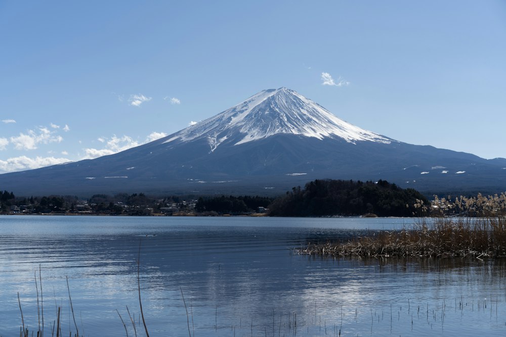
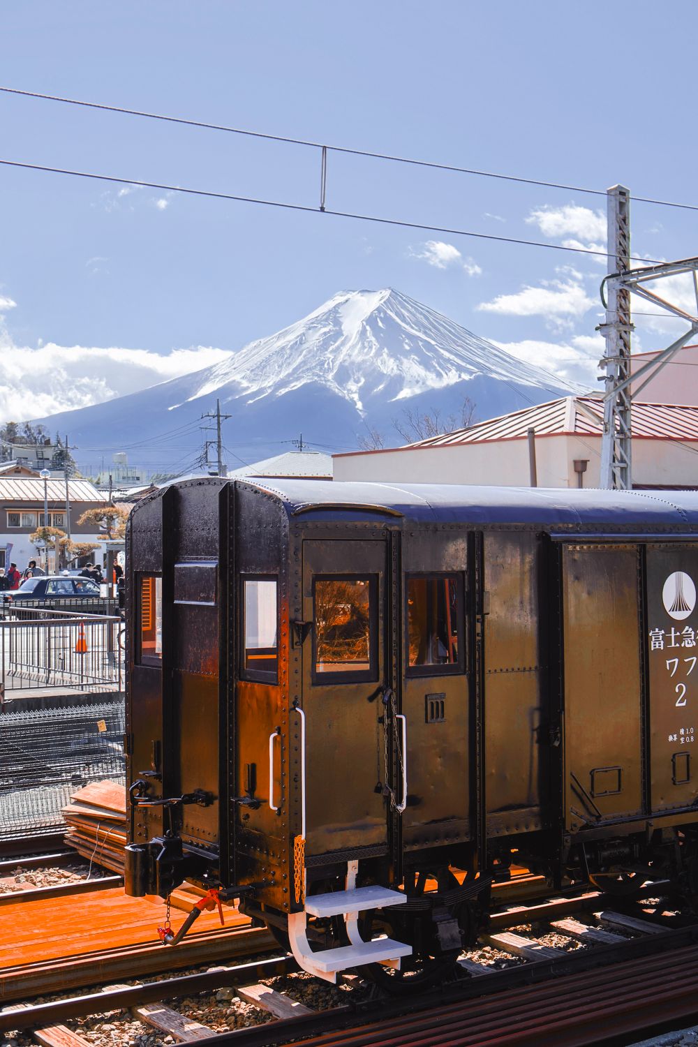
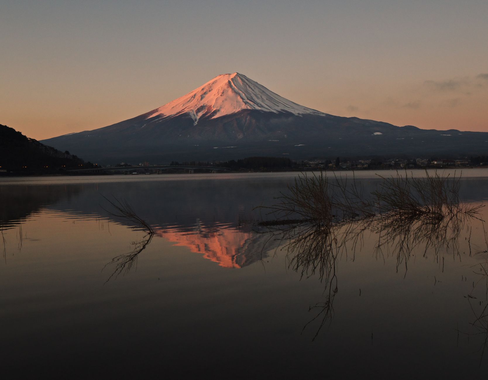
It also comes with a scheduling trap that catches thousands of people a year. The official climbing season runs from early July to 10 September, which is precisely the humid, monsoon-fed stretch when the mountain hides. Through June and July the full cone is visible from below on roughly a fifth of days, and cloud covers it more than half the time. The crisp snow cone of every postcard, floating clean above Lake Kawaguchiko, belongs to December through February, when the trails are shut and the upper mountain is a serious winter alpine proposition closed to tourists.
The practical consequence is a choice. Come to climb, and expect the summit in cloud. Come to photograph, and come in winter. Anyone booking a single week hoping to do both is trying to fit a July climb and a February photograph into the same trip.
The quiet is recent by the mountain's own standards. Fuji last erupted on 16 December 1707, sixteen days of activity rated VEI 5, the same scale as Mount St Helens in 1980, and triggered just 49 days after the magnitude 8.6 Hoei earthquake. Ash fell on Edo, roughly 100 kilometres northeast. The eruption tore a secondary crater, Hoei-zan, into the southeastern flank, and it is still plainly visible from the Fujinomiya side today. Fuji remains classified as an active volcano. In March 2023 the disaster prevention council covering Yamanashi, Shizuoka and Kanagawa rewrote its evacuation basic plan around a repeat of Hoei, with residents in the path of fast lava told to leave on foot, and separate national guidance now covers ashfall across the Tokyo metropolitan area.
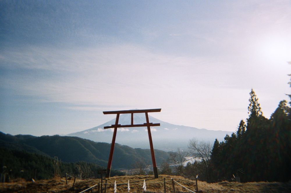
Long before it was a hiking objective it was an industry of faith. By the Edo period, devotional confraternities known as Fuji-ko, strong among the merchants and artisans of the capital, were funding organised group ascents as acts of worship; membership ran into the hundreds of thousands. Those who could not travel built fujizuka, miniature Fuji replicas in city gardens and temple grounds, and climbed those instead. Women were barred from the upper mountain until the Meiji government lifted the ban in 1868. The head shrine of the whole system, Fujisan Hongu Sengen Taisha in Fujinomiya, presides over some 1,300 Sengen shrines nationwide and was raised in part to placate the volcano; its origin shrine at Yamamiya has no main hall at all, because the mountain itself is the object of worship.
Four trails reach the top. Fujinomiya, the old sacred approach from the southwest, is the shortest and the meanest: its 5th Station trailhead sits at 2,400 metres, the highest of the four, and the route covers about 4.3 kilometres for 1,400 metres of gain. Fit walkers who start at first light have reached the crater in four and a half hours; most people take between five and seven.
Two things make it harder than the numbers suggest. Ascent and descent share the same path, so the trail bottlenecks in both directions, and it faces the wrong way, meaning there is no sunrise view from the trail itself. On Fujinomiya, dawn is something you get at the top or not at all. Yoshida, the northern route closer to Tokyo, is longer, busier and separates its up and down paths, which is why it carries most of the traffic today.
The rules have hardened considerably. For 2026 all four trails charge a 4,000 yen per-climber fee, require an online reservation, and require a mandatory safety e-learning module, handled through the FUJI NAVI system on the Shizuoka side or the Yoshida reservation portal. Completion issues a QR code that is scanned at the trailhead in exchange for a physical wristband. Yoshida caps entries at 4,000 climbers a day, a limit not actually reached in 2024 or 2025.
Most consequentially, trailhead gates now close between 2pm and 3am to anyone without a mountain hut booking. That was aimed squarely at bullet climbing, the practice of going straight through the night without sleeping, which generated a disproportionate share of rescues and altitude cases. Trail access and hut beds are booked separately, and a hut reservation is now effectively the entry price for a sunrise attempt.
The mountain everyone photographs and the mountain anyone climbs are not available in the same month.
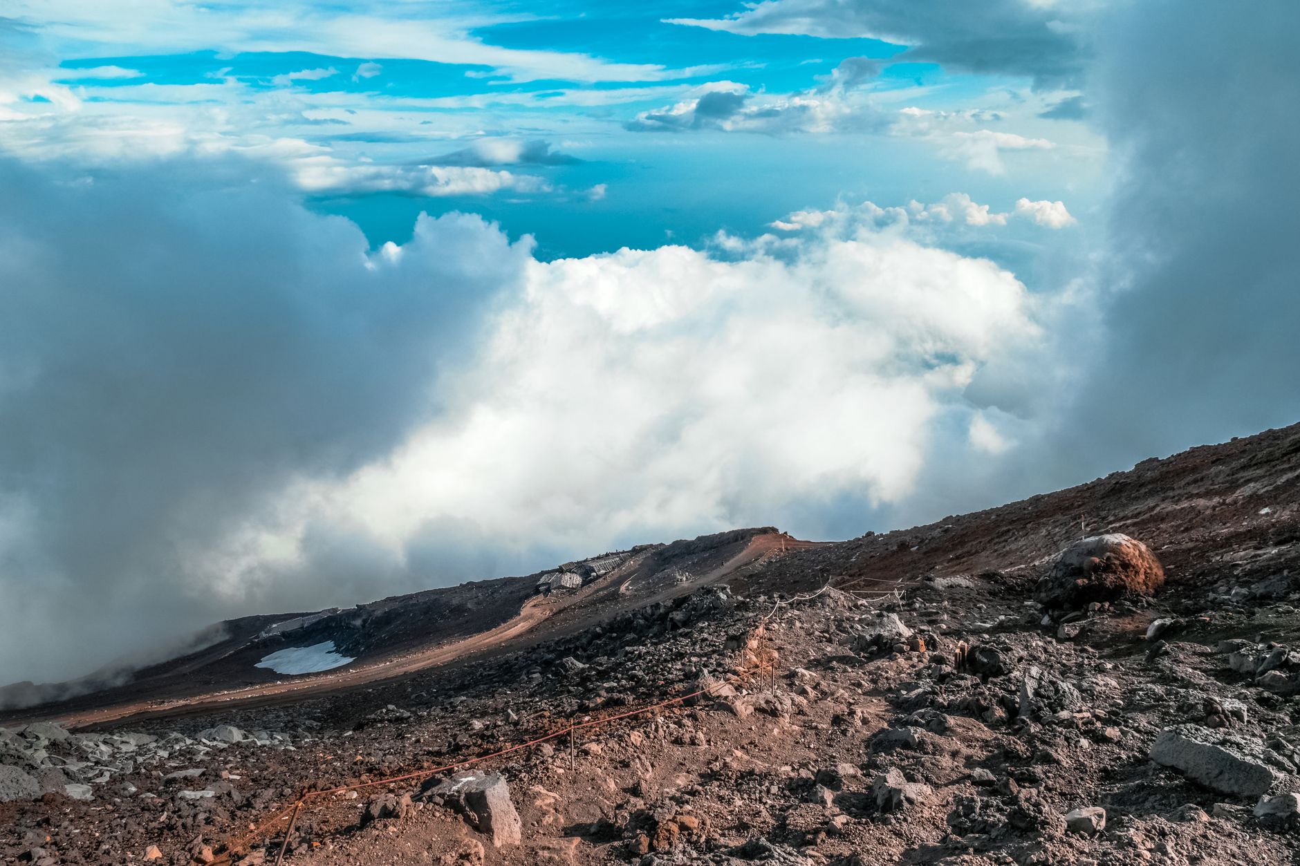
Altitude, not fitness, is what turns people back. The gain from 2,400 to 3,776 metres happens fast, and headaches, dizziness and nausea are common among people who walk regularly at home. The consistent advice from guides and the climbing association is to sit at the 5th Station for 45 to 60 minutes before setting off, walk far slower than feels natural, drink more than seems necessary, and break the climb with a night at a 7th or 8th station hut. What a hut booking buys is a numbered space on a communal wooden sleeping shelf, lights out early, elbows on both sides.
Book one for the altitude and expect very little sleep. Dress for the summit: it can sit near freezing with wind even in August, and every season people turn up from a 35-degree Tokyo afternoon in shorts. Carry layers, gloves, a hat, a headlamp and more cash than seems necessary, since nothing on the mountain takes cards.
Budget generously for the descent too. It is a long grind on loose volcanic gravel that slides underfoot, hard on knees, and it routinely takes three hours or more from the crater to the 5th Station. Missing the last bus down is a common and expensive mistake.
Then there is goraiko, the sunrise from the summit, and the crush it produces. Between roughly 3am and 5am the stretch from the 8th station upward congests to a standstill: a push that takes an hour in daylight can take two, and on an August weekend climbers have reported four. Weekends, public holidays and the Obon week in mid-August are the worst of it.
The practical answer is not to fight it. The sunrise from the 8th or 9th station is essentially the same event, over the same sea of cloud, without the queue, and it leaves the crater rim to be walked in daylight afterwards. That rim walk, Ohachi-meguri, takes 50 to 90 minutes and passes the true summit at Kengamine, a point on the western edge that is easy to miss entirely if nobody tells you it is there. A seasonal post office beside the Okumiya shrine handles mail from the top, roughly 10 July to 20 August, from about six in the morning until two in the afternoon.
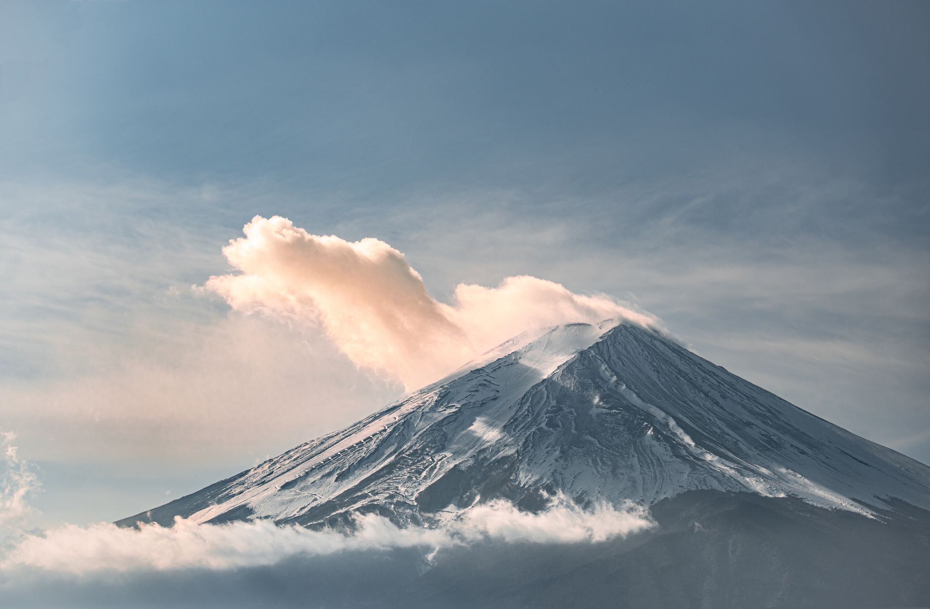
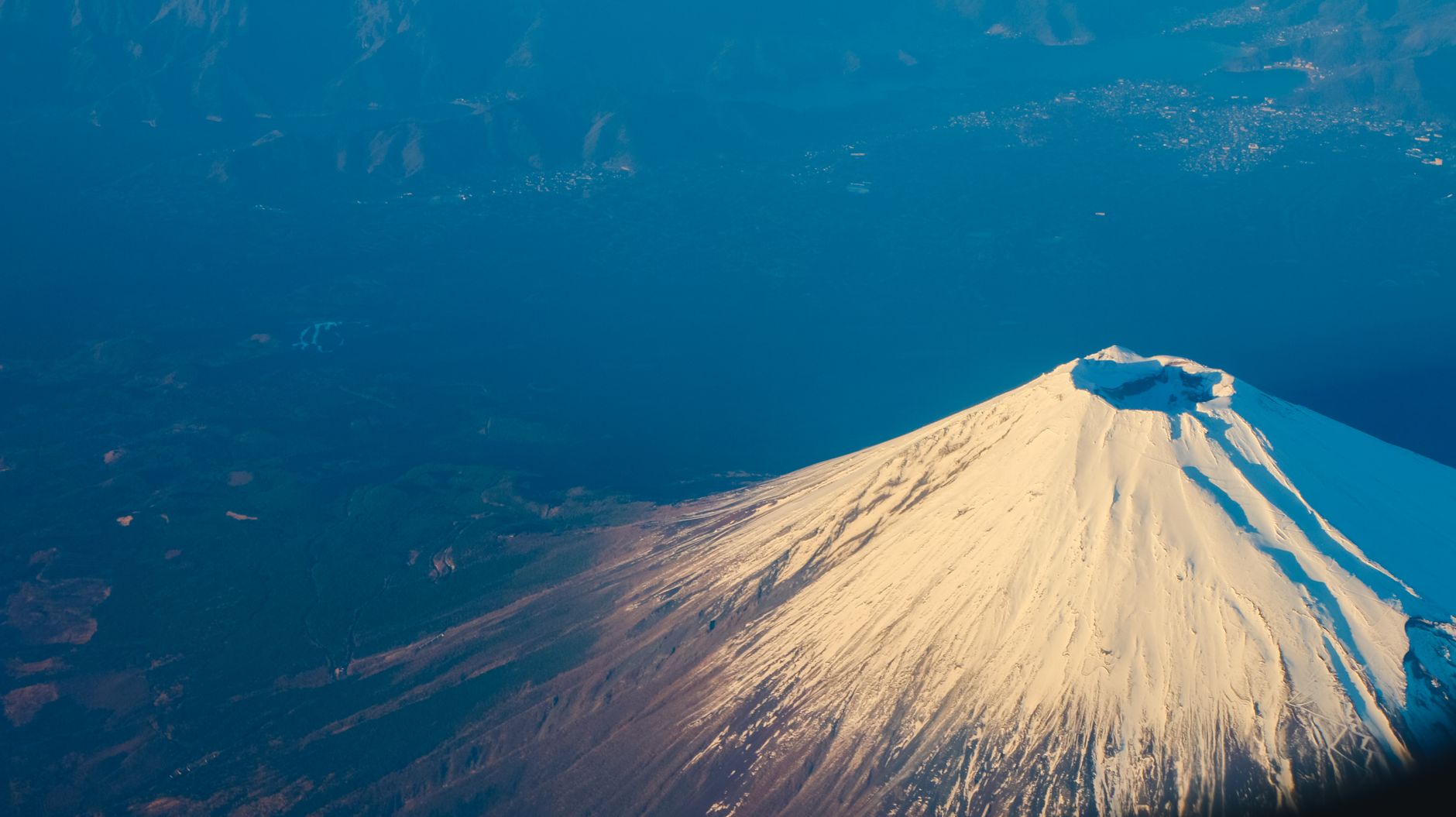
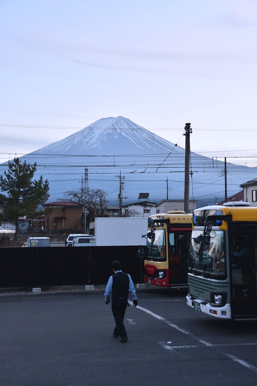
For the other trip, the one where Fuji is a shape rather than a floor, timing matters more than location. Across every season the mountain shows itself clearest at dawn; after about 11am in warm months sea breezes push moist air up the slopes, it condenses, and a cap of cloud settles for the day. Midday is the worst time to arrive anywhere on this list.
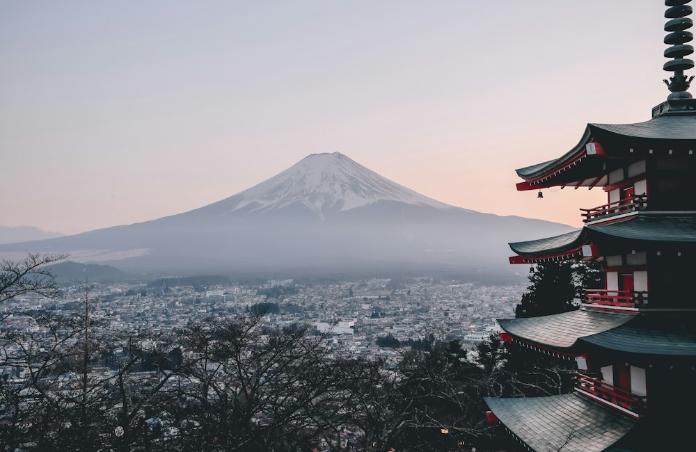
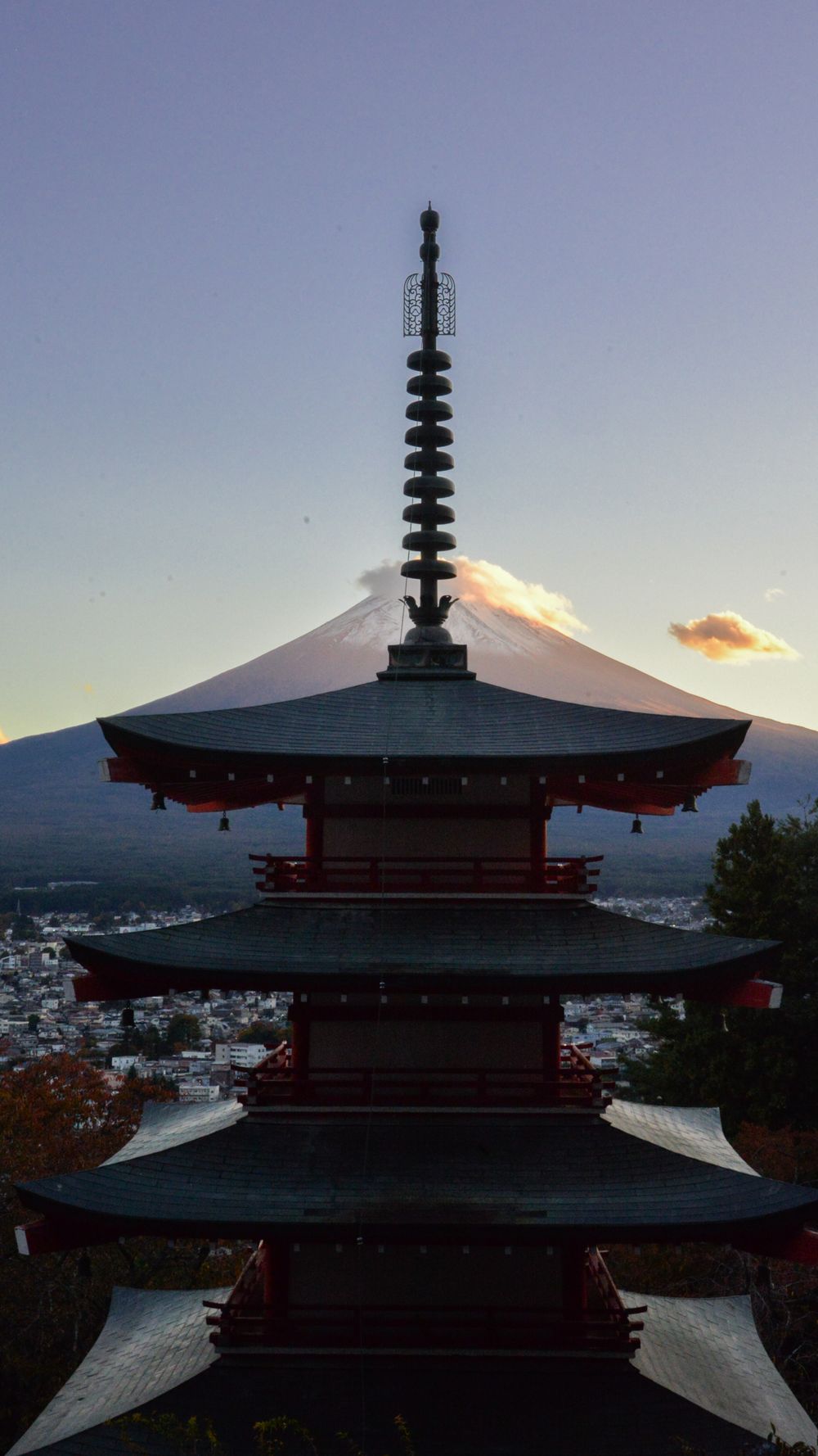
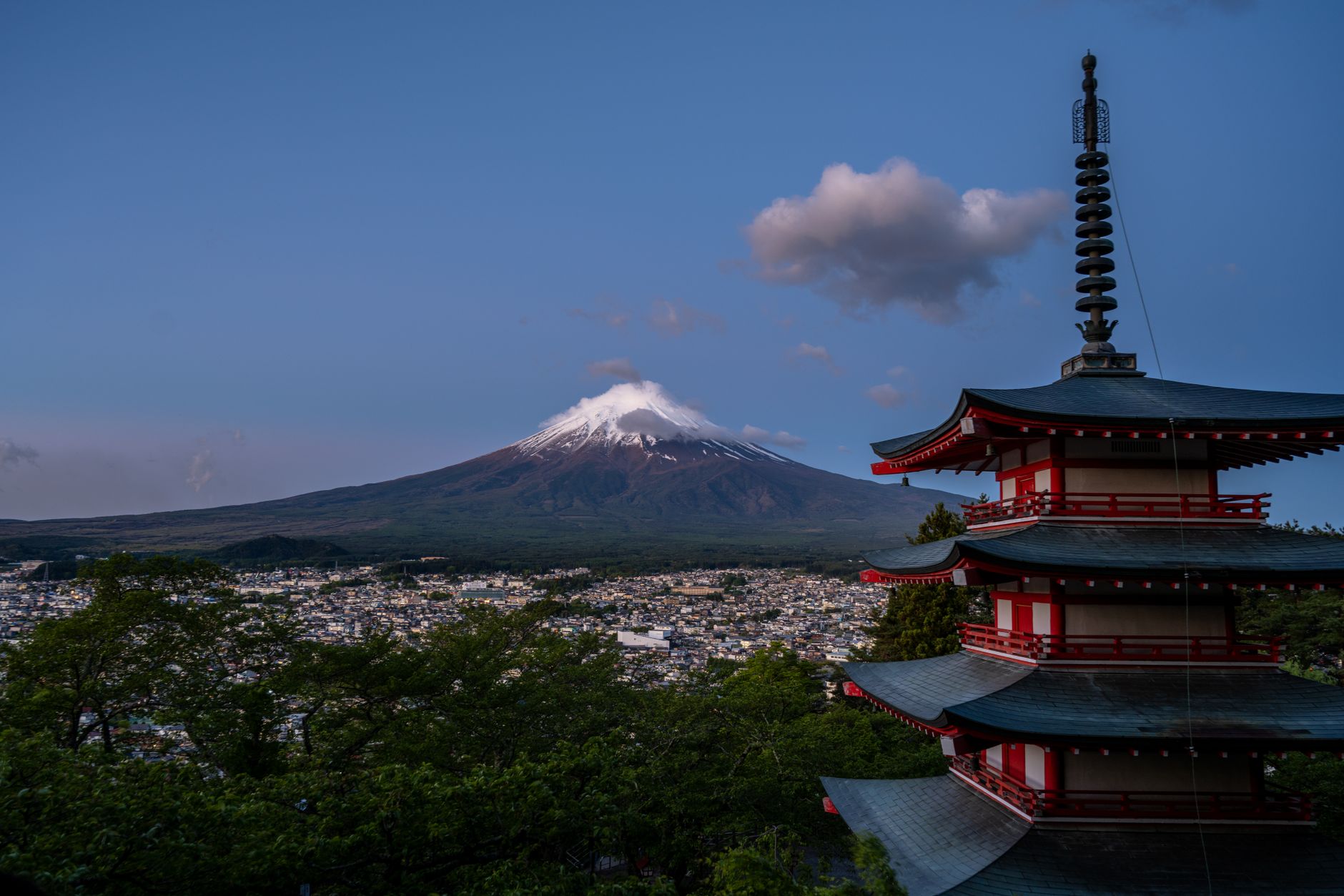
The Chureito Pagoda at Arakurayama Sengen Park delivers the most quoted frame in Japan, 398 steps up from the car park, and in season it repays being in position before 7am. That comes at a cost worth budgeting for: the viewing deck is small and photographers fill it before the light arrives, and the Fuji Five Lakes sightseeing buses do not start early enough to get anyone there for dawn, so the slot usually means a taxi or a bed in Fujiyoshida itself. A service road offers a gentler route up for anyone who would rather not take the steps.
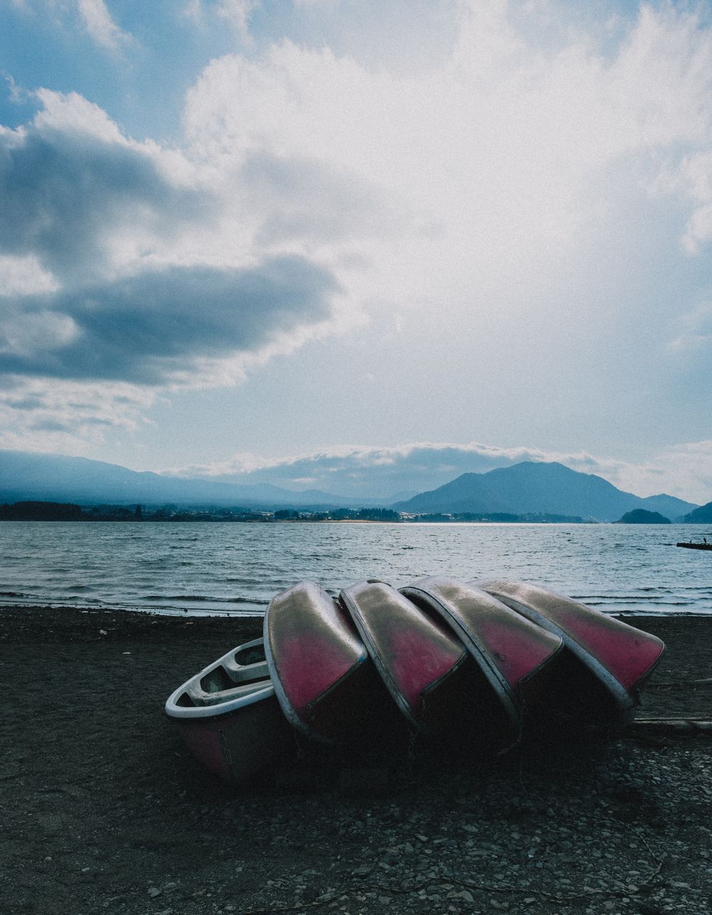
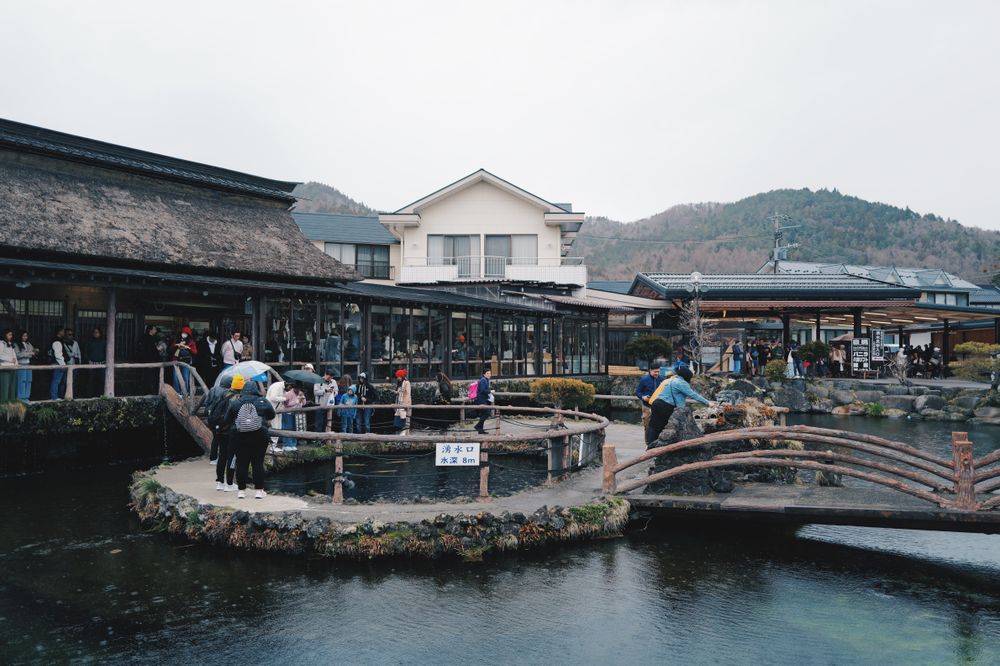
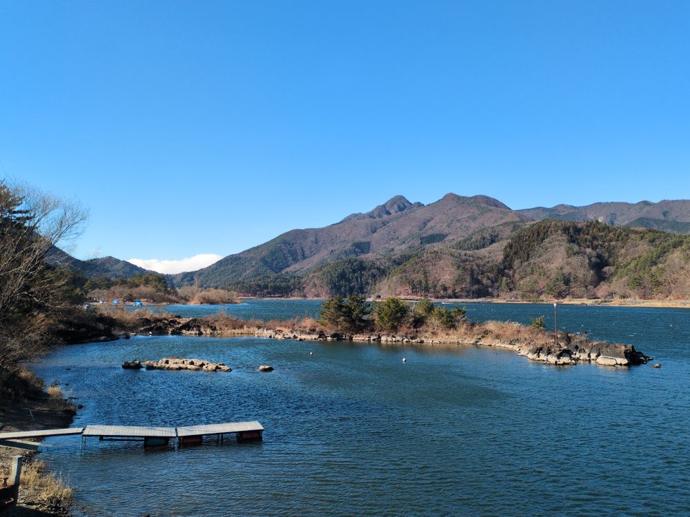
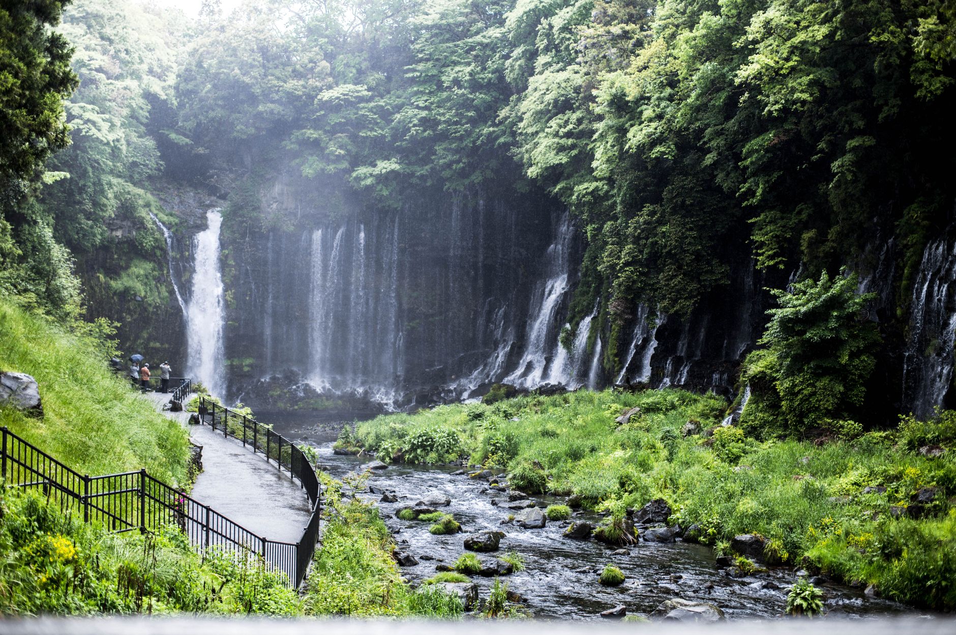
The north shore of Lake Kawaguchiko and Oishi Park give the mirror reflection on still mornings, with lavender in summer. On the Fujinomiya side, Shiraito Falls and the sacred spring pond of Wakutama-ike at the head shrine make a half-day that explains the mountain better than any viewpoint does. The famous image of Fuji only exists at a distance. From the summit there is nothing of it to see, only gravel underfoot and, on a good morning, the cloud floor a long way down.