
The normal route up this 4,164-metre peak starts at Europe's highest cable car station, so a fit hiker with no high alpine experience can reach the top with a guide.
Viewpoint, Zermatt. Meridian Dispatch.
Roughly three and a half hours on the mountain by the normal route. The climb from the top of the lift takes about two hours and the return about one and a half, before the ride down to Zermatt.
Yes. Zermatt Tourism advises never setting out on the route without a mountain guide, and recommends a local one. The village guides' office, Zermatters, advises checking that a guide is certified to the international UIAGM/IFMGA standard.
The normal route can be climbed all year when conditions allow. A harder route, the half traverse, crosses the summits with climbing sections up to UIAA grade IV and is guided daily from mid-July to mid-September.
A harness, crampons with anti-balling plates and a hiking pole, plus ankle-high mountain boots with a stiff, profiled sole. The harness, crampons and pole can all be rented from the guides' office in the village.
Yes. Matterhorn Glacier Paradise, the top cable car station, has an observation window towards the Breithorn, and from the station visitors can watch the rope teams on the slope.
It is an introductory four-thousander, but not a risk-free one. The route crosses glaciers with a constant risk of crevasses, and the weather can change without warning, so beginners climb roped to a guide who reads the conditions.
The Breithorn is a broad crest of several summits running for more than two kilometres along the border between Valais and Italy's Aosta Valley. Its name means "broad". The western summit is the highest and also the simplest to climb, and it is the one the normal route reaches.
East of it, the middle and east summits and the Breithorn Twins carry the chain on to the Roccia Nera, where the mountain ends.
From the top the view goes all the way round: the Matterhorn, Monte Rosa and the Mont Blanc massif, with the Bernese Alps, France and Italy in the full circle. A French party with local mountain guides reached the summit as early as August 1813. The peak became a goal for ambitious beginners once the cable car to the top station opened in 1979.
Zermatt's guides even have a local name for clients they would take only up this peak: "Breithoru-Liit", Breithorn people.
Zermatt's Matterhorn Express valley station is the meeting point, at about 07:30 depending on the season. The lifts climb by way of Furi and Trockener Steg to Klein Matterhorn (Matterhorn Glacier Paradise), at 3,883 metres. At the top station the guide leads the party onto the glacier.
The first kilometre crosses the Breithorn plateau, almost flat glaciated ground. Then the ascent begins: a 35-degree slope of hard old snow to the summit ridge, with crampons on.
The party comes back down the same way to the lift and rides it down to the village. A longer route returns over the Lower Theodul Glacier and past Furi to Zermatt, at 1,620 metres.
Book through Zermatters, the village's mountain guide office, as a private climb or in a group. A private guide takes one to six climbers, with a recommended minimum age of 12. Group tours take three to six per guide and are for adults only.
An email confirms the booking. For a group climb, a link to a customer portal arrives two days before; it shows who is guiding you and takes payment.
The route is open snow at almost 4,000 metres, so pack sunglasses and strong sun protection. Bring warm, weatherproof layers and energy food such as chocolate or dried fruit, in a pack of no more than 30 litres.
Get in touch with the guides' office before the day to go over the weather and conditions with them. The guides recommend valid accident and evacuation insurance; check your cover.
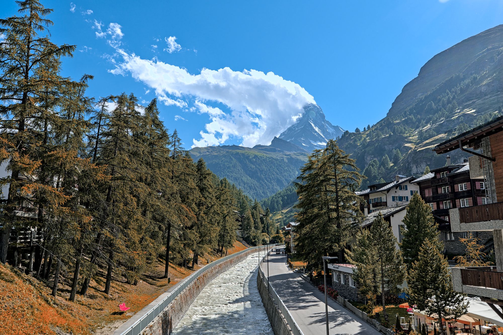
Three lift systems climb out of this car-free village, each to a different side of the Matterhorn. Give each one a morning, and keep a spare day for cloud.
Read the Zermatt guideExplore the rest of Zermatt
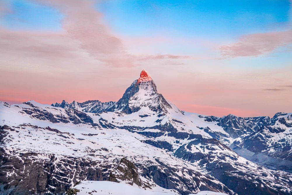
The ski area above Zermatt, climbing from the village through Sunnegga, Gornergrat and the Matterhorn Express to the glacier below Klein…
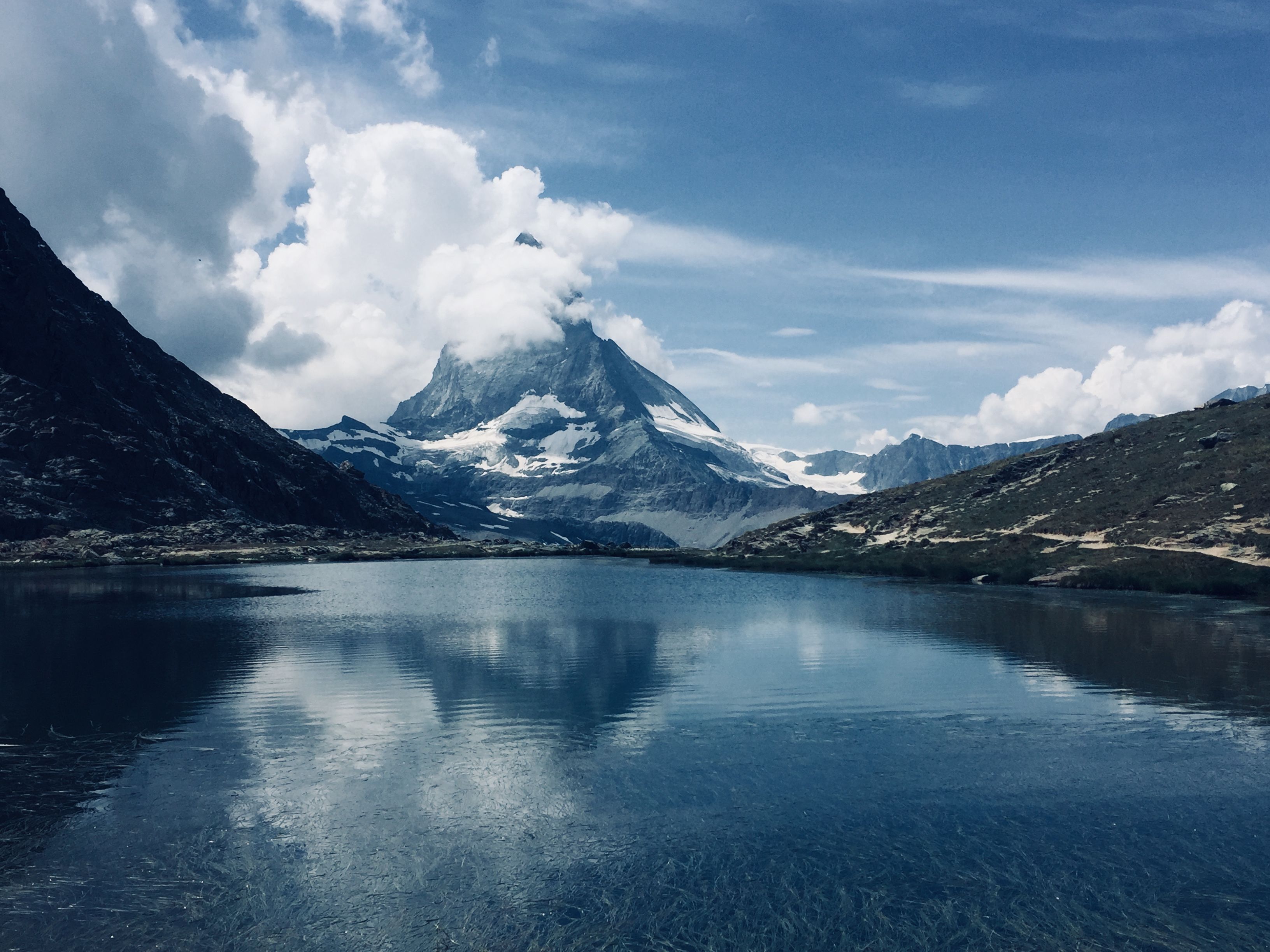
A small tarn five minutes on foot from Rotenboden station on the Gornergrat line, where the Matterhorn lies reflected on the water when the…
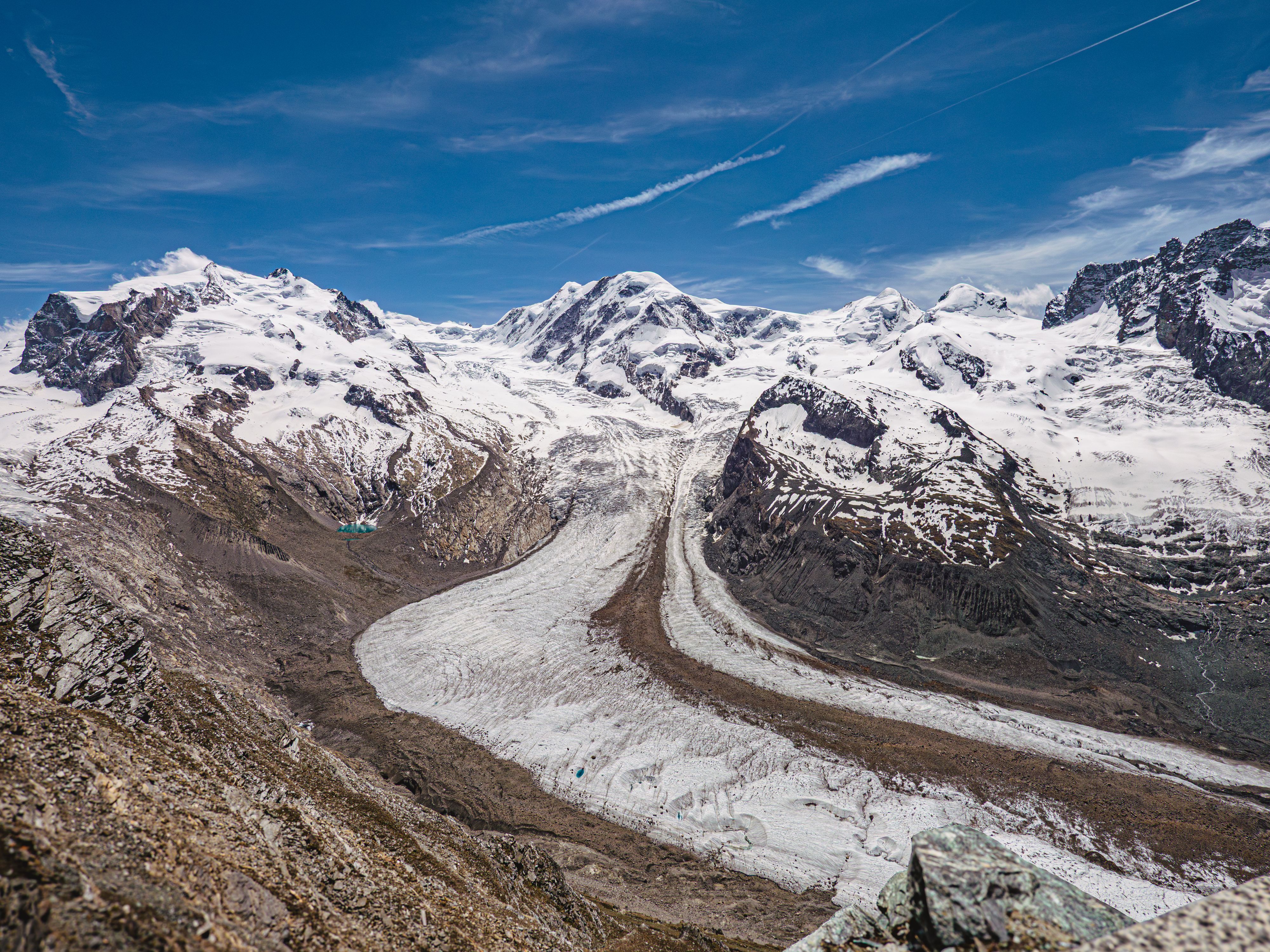
Flowing off Monte Rosa for about twelve kilometres, this is the second largest glacier system in the Alps, and the Gornergrat ridge is the…
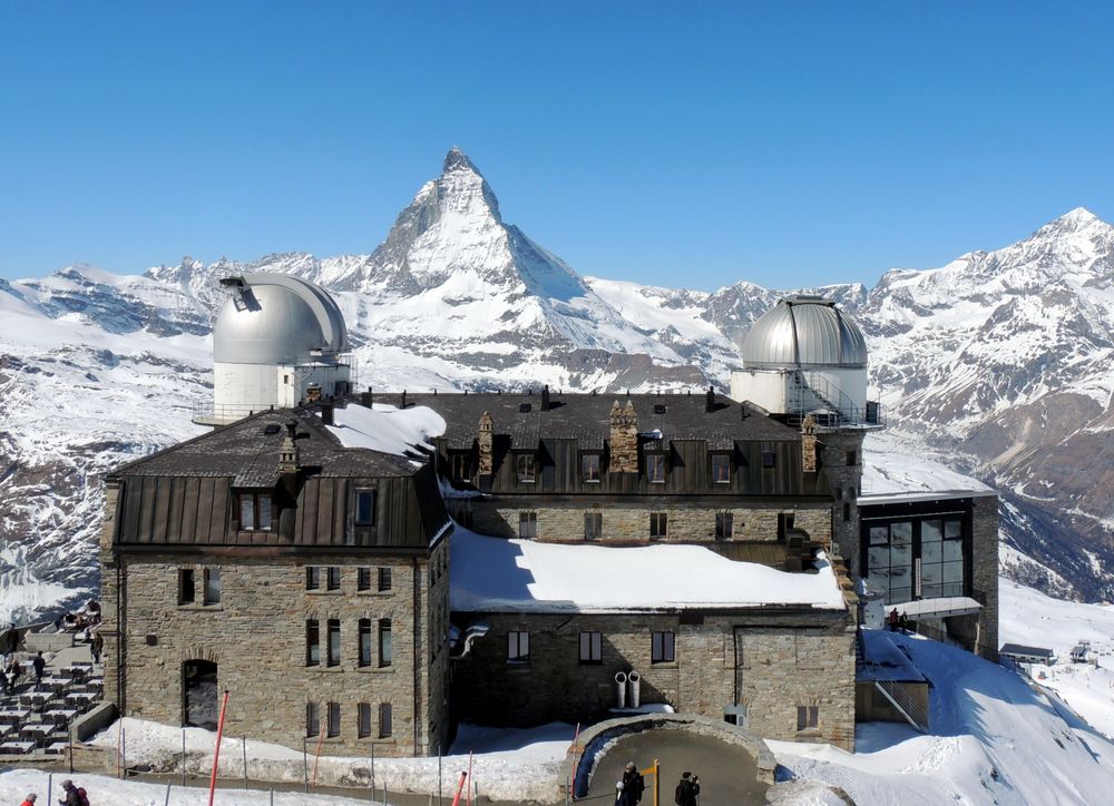
A ridge at 3,089 metres reached by a cogwheel railway that has run since 1898, looking across the Gorner glacier at a wall of twenty-nine…
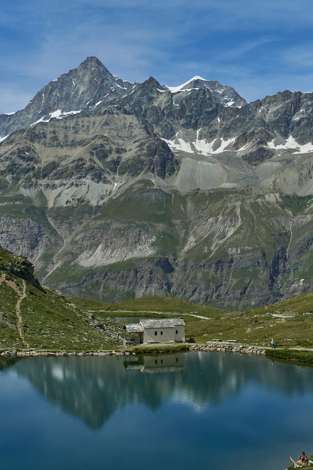
A dark mountain lake with a small white chapel on its shore, sitting right under the Hörnli ridge of the Matterhorn. The cable car from…
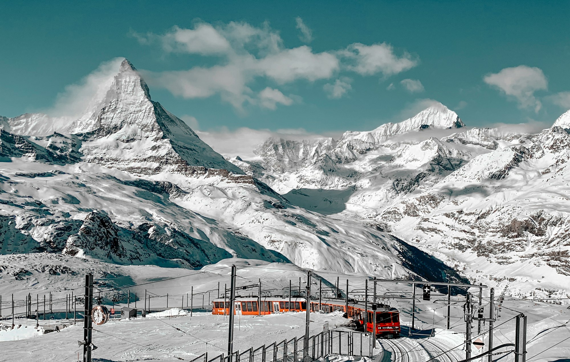

The mountain that put the Alps on a poster, 4,478 metres and standing alone, which is why the shape reads as a single tooth from every…
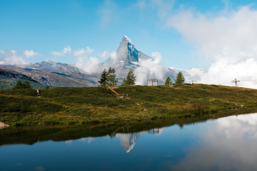
A shallow lake a short walk or a self-service shuttle below Sunnegga, Zermatt's beach, with a bathing beach, a raft, picnic spots and…
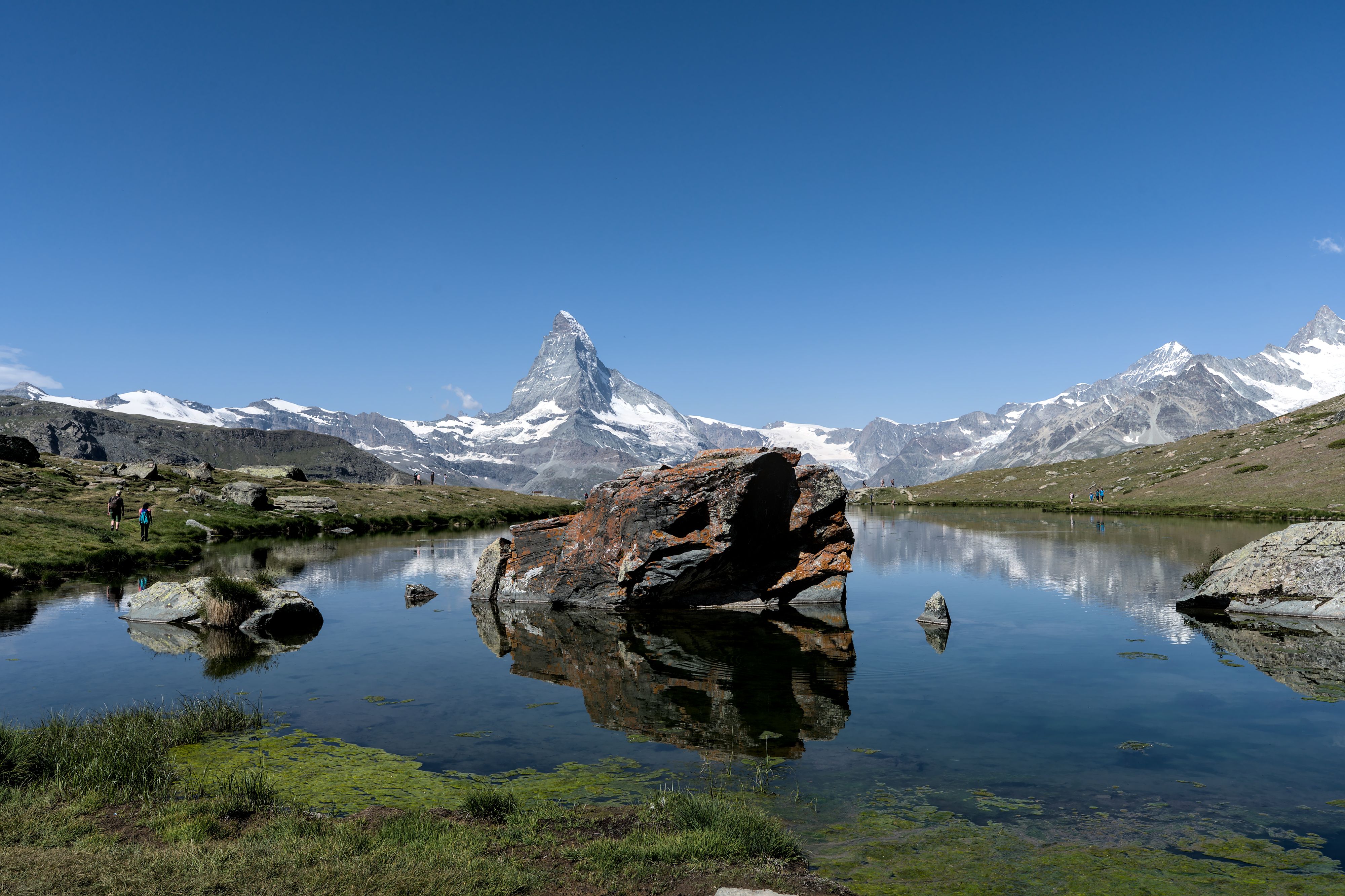
The lake on the Five Lakes Walk that gives the cleanest reflection of the Matterhorn, at 2,537 metres above Sunnegga. The walk that links…




Save Breithorn to your Switzerland trip in the Meridian Dispatch app and build the day around it, with the best of Zermatt pinned on one map.
Download on the App StoreThe official pages this guide was checked against.
Last updated