Things to do
6-
Athabasca Falls
Height is modest and volume does the work: the Athabasca squeezes into a quartzite gorge and drops over twenty metres, carving potholes and an abandoned channel walkers can climb through. Paved paths and footbridges loop the site in twenty minutes, half an hour south of the town on the old highway. Mist coats the railings. Spring melt is the violent season, and the whole gorge runs loud.
-
Athabasca Glacier
One of several tongues flowing off the Columbia Icefield, this glacier reaches almost to the Icefields Parkway about ninety minutes south of the town. Markers along the approach path date the ice that stood there in past decades, and the retreat they record is the point of the walk. Snowcoaches with oversized tyres carry visitors onto the surface in season. Walking out unguided has killed: crevasses lie covered.
-
Jasper SkyTram
A cable car climbs Whistlers Mountain from a station above the town, rising to a terminal on alpine tundra in about seven minutes. From there a rough trail of a kilometre and a half gains the summit, where Mount Robson shows on a clear day. Wind at the top is cold in any month, so a spare layer is worth carrying. The tram runs from spring into autumn and closes for the winter.
-
Maligne Canyon
Water from a vanishing river has cut a limestone slot up to fifty metres deep and in places only a couple of metres wide, spanned by a series of numbered footbridges. The upper bridges carry the crowd; walking down to the fifth and sixth trades the queue for a longer climb back. In deep winter guided groups walk the frozen floor below. Karst springs feed the stream all year, so it never runs dry.
-
Maligne Lake
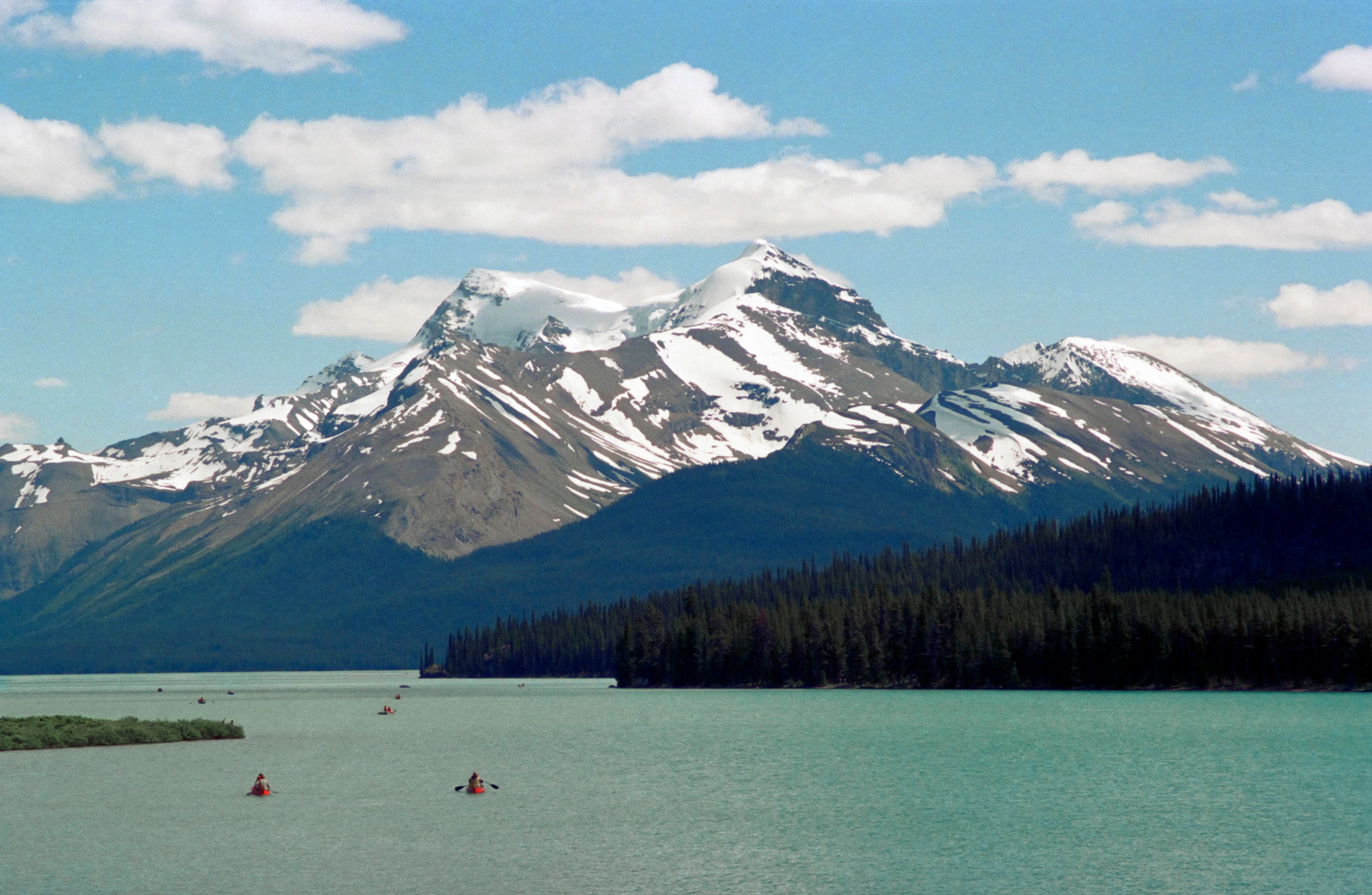
Twenty two kilometres of water lie in a high valley southeast of the town, reached by a road of about an hour that is prime wildlife ground at dawn. A narrow boat cruise to Spirit Island, a small stand of firs on a gravel spit, is what draws most visitors, and it books out in midsummer. Trails climb the Bald Hills for the view down the lake. Ice covers it into June.
-
Pyramid Lake
Ten minutes by road above the town, a small lake sits under the rust-coloured cone of Pyramid Mountain, with a wooden bridge out to a pine-covered island. Canoes and paddleboards are rented in summer, and the ice is cleared for skating in winter. The island serves as a dark sky spot for the northern lights in the cold months. The road up passes Patricia Lake.