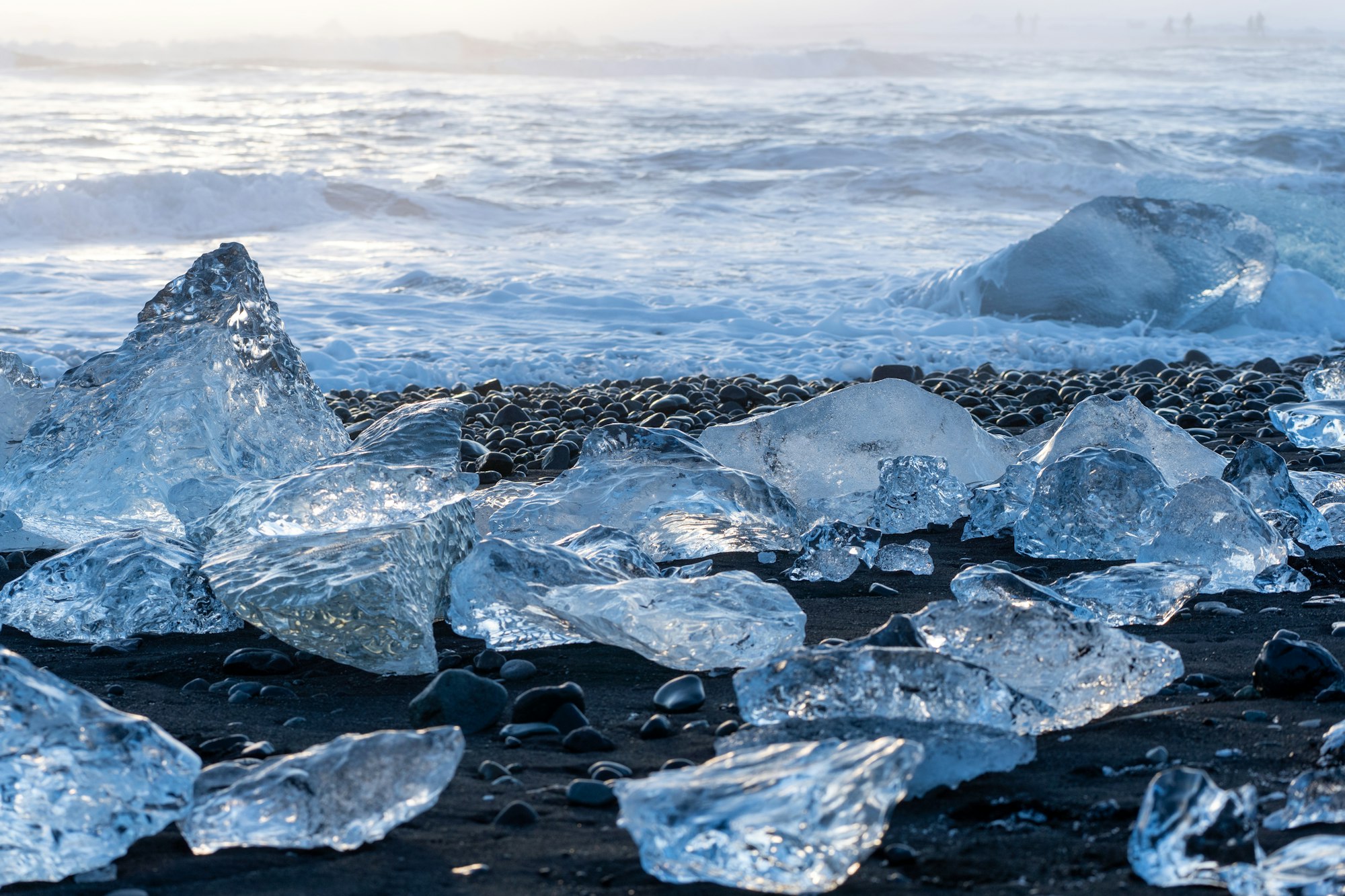
Stopping on the sea side of Route 1, across from Jökulsárlón, puts you on black sand where the lagoon's icebergs wash up: clear and blue blocks of ice you can walk between, at the water's edge.
Beach, Höfn. Meridian Dispatch.
Yes. The two Fellsfjara car parks and the Jökulsárlón lagoon car park form one paid zone, and a single payment covers all three until midnight on the day it is paid. The fee is charged by reading each car's number plate.
Yes, at the water's edge. Sneaker waves arrive there with no warning and can sweep an adult out to sea in a matter of seconds.
February and March have the highest measured cover of floating ice on Jökulsárlón, where the beach's ice comes from. Even then, the amount and position of the ice on the sand change with the tide, the weather and the season.
Allow 30 to 45 minutes on the sand for a quick look and photographs. Walking farther along the shoreline on either side of the river takes closer to an hour and a half.
About 370 km, roughly four and a half to five hours by car. From Vík the drive is about 190 km and takes around two and a half hours.
Not from 15 April to 15 July, when Vatnajökull National Park restricts flights at Jökulsárlón and Fellsfjara to protect birds. Outside those dates the park allows flights only in set daily windows that change through the year, such as before 09:00 or after 18:00 from mid July to late September, and never in its no-fly zones, near or over people, or in a way that disturbs wildlife.
Fellsfjara, the name of the coastline itself. Breiðamerkursandur is the wider glacial outwash plain south of the glacier Breiðamerkurjökull, and Diamond Beach is the nickname international visitors gave it.
The official site of Diamond Beach is vatnajokulsthjodgardur.is.
vatnajokulsthjodgardur.is →The ice on this beach broke from Breiðamerkurjökull, crossed Jökulsárlón Glacier Lagoon and went out to sea down the river under the Route 1 bridge, until the waves carried it back to shore.
Travellers named it Diamond Beach for the way clear ice sparkles against the black volcanic sand. Pieces range from pebbles to blocks as tall as an adult. Look for the blue ones, which stand out most.
How much ice there is changes day to day. Some days the ice lies so thick along the shore that it is hard to reach the water, and on others there is barely any.
Seals fish in the river mouth, and a small tidal island on the east bank shelters Arctic terns and skuas. Signs on the river path explain the wildlife and how Breiðamerkurjökull is retreating and moving the glacial rivers.
Diamond Beach has a car park on each bank of the river, and the east one, Eystri-Fellsfjara, has the park’s marked path down to the sand and a small exhibition of photographs from across the national park. Before you pull in, look from the road to see which bank holds the ice, because the tide and the wind push it to one side or the other.
The first cluster beside each path draws the crowd, so keep walking along the shore for quieter stretches. The park asks visitors not to walk across the bridge, so drive between the two lots.
The beach gets busy once the tour buses arrive, from about ten. For photographs, sunrise brings low light through the ice. Bring waterproof boots: the sand by the surf is always wet and cold.
If both beach lots are full, park at the lagoon and take the path under the bridge. Fjallsárlón Glacier Lagoon is about 10 km west of Jökulsárlón.
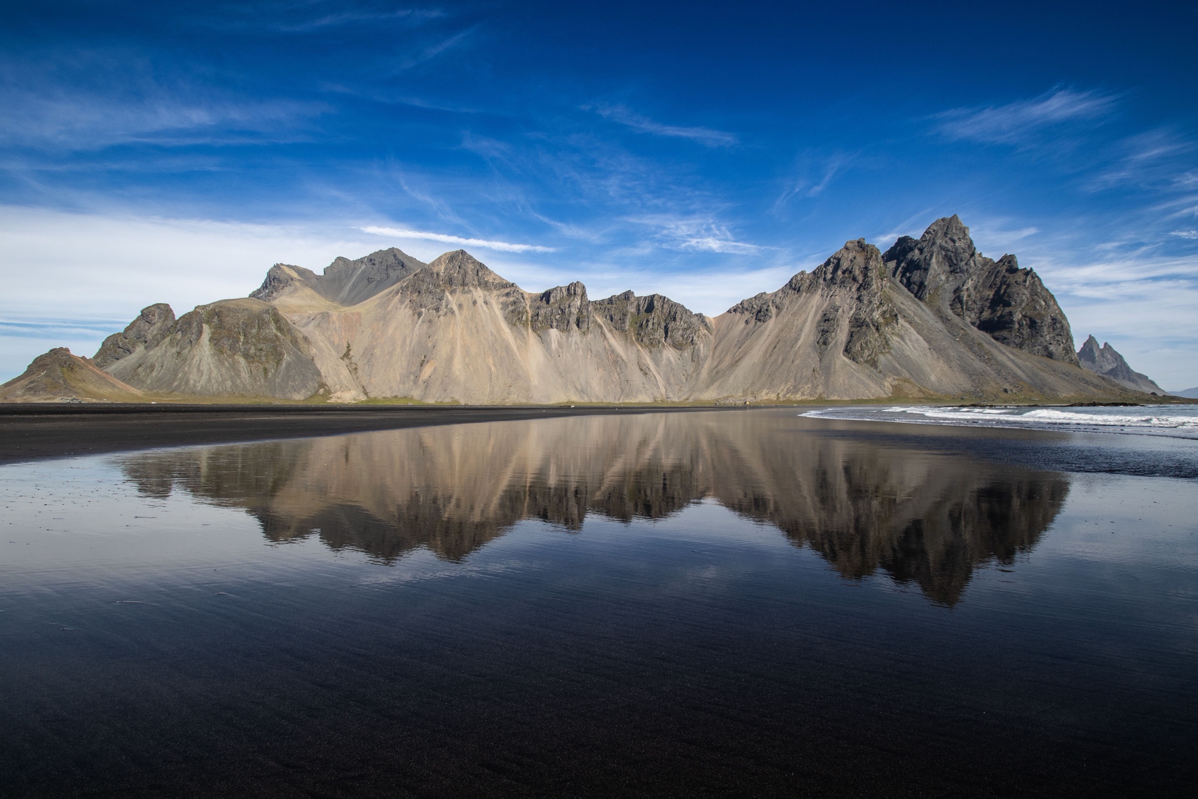
Stay the night for langoustine at the harbour where the boats unload it, and spend the next morning on the black dunes under Vestrahorn, a short drive east.
Read the Höfn guideExplore the rest of Höfn
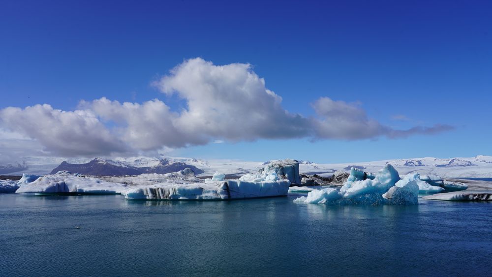

A glacier lagoon beside Route 1 in south-east Iceland, fed by Breiðamerkurjökull, an outlet glacier of Vatnajökull. Icebergs calved from…
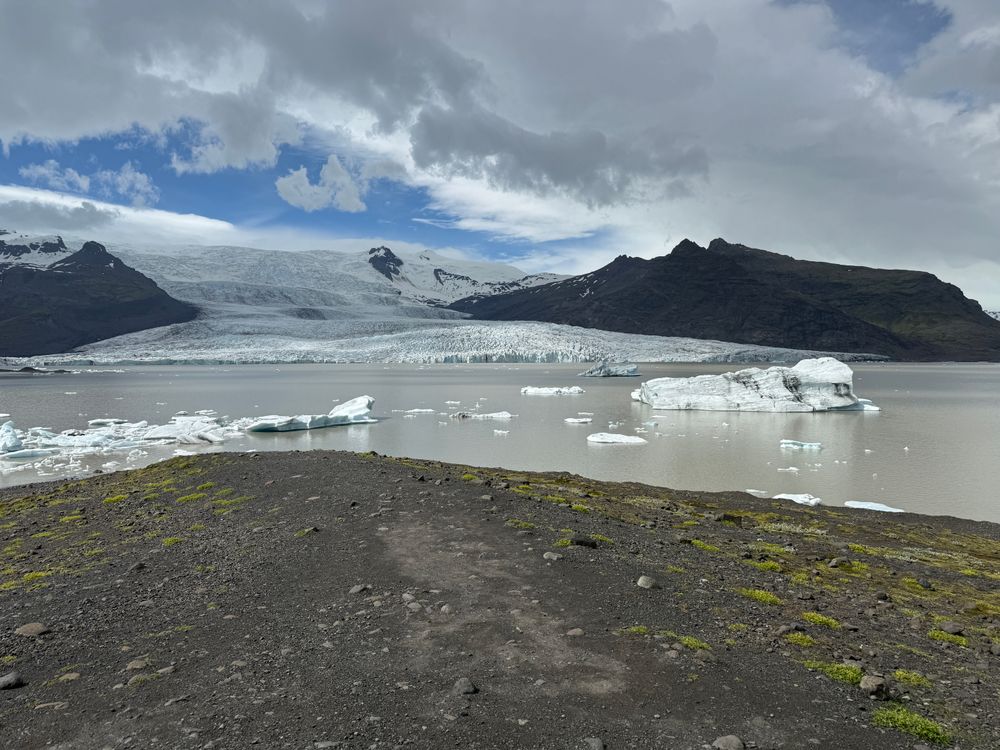
A lagoon of about 4 square kilometres below Fjallsjökull, roughly 10 kilometres west of Jökulsárlón, with the Öræfajökull volcano above it.…
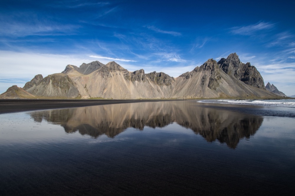
A fishing town of about 1,800 people on a low spit in Hornafjörður, roughly 455 kilometres from Reykjavík on the Ring Road and surrounded…
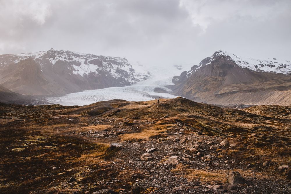
A guided walk on Falljökull, a steep outlet glacier of Vatnajökull above Skaftafell, among crevasses, ridges and blue ice. Tours leave from…
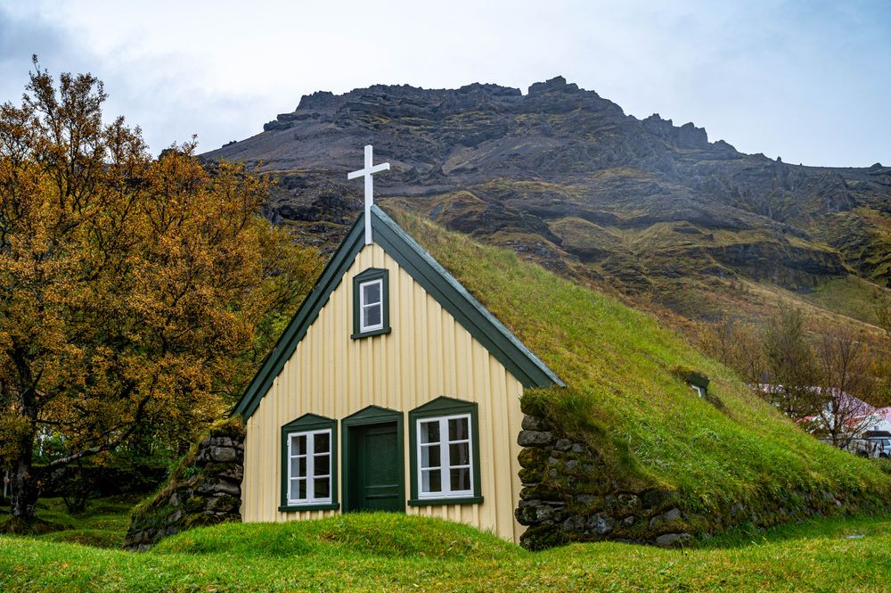
A turf-roofed church at Hof in Öræfi, built between 1883 and 1885 by the carpenter Páll Pálsson, with a timber frame inside thick stone…
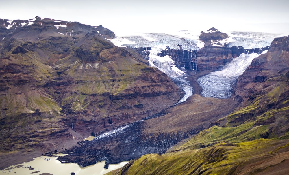
A wooded moraine bench between the Skeiðarársandur outwash plain and the Vatnajökull ice cap. It was a national park in its own right from…
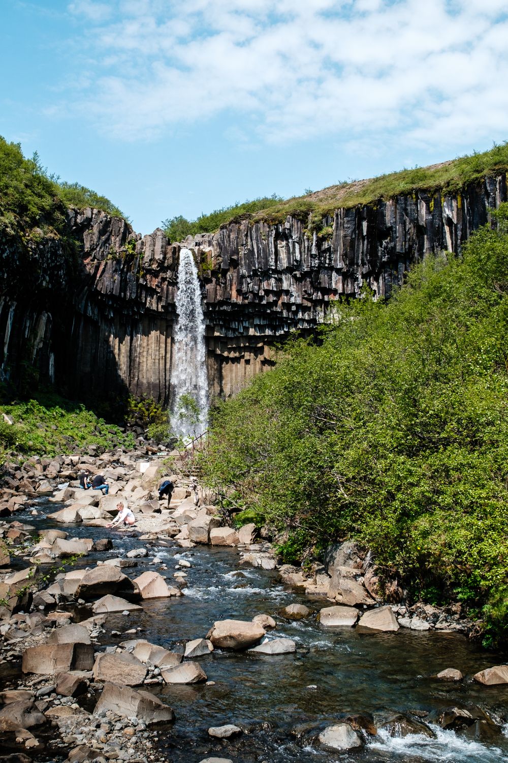
A 20 metre fall in Skaftafell dropping over a curtain of hexagonal basalt columns formed roughly 300,000 years ago. The columned…
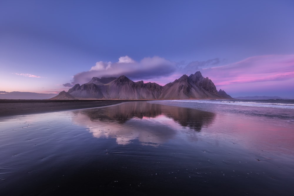
A black sand headland east of Höfn beneath Vestrahorn, a 454-metre gabbro and granophyre mountain rising straight from the shore. The land…




Save Diamond Beach to your Iceland trip in the Meridian Dispatch app and build the day around it, with the best of Höfn pinned on one map.
Download on the App StoreThe official pages this guide was checked against.
Last updated