
You can stand behind the water here, in a hollow of the cliff at the head of Kvernugil, a green canyon a short walk east of the museum at Skógar.
Waterfall, Vík. Meridian Dispatch.
Kvernufoss is in Kvernugil, a small canyon east of Skógafoss, near the Skógar Museum off the Ring Road. The trail is not well signed, but it is easy to find: walk east on the hiking path from the museum car park.
About 20 minutes each way. The round trip is about 1.4 kilometres on a path up through the canyon, which looks up the gorge to the fall along the way.
Yes, through a natural alcove in the cliff face behind the water. The rock there can be loose and slippery, so take care on the ledge.
Yes. The waterfall has no car park of its own, and the museum and the waterfall trail share one lot. Parking there is paid through the Parka app under zone 8208.
Kvernufoss is about 30 metres tall. It drops from cliffs of lava rock at the head of Kvernugil, and the path up the gorge gives a clear view of the full drop.
Kvernufoss is in South Iceland, about 34 kilometres from Vík í Mýrdal and about 156 kilometres from Reykjavík. From Vík, it is a short drive along the coast to the canyon.
Kvernufoss pours off the rock face at the end of Kvernugil, a small, green canyon about 500 metres east of the Skógar Museum. The river Kverna runs through the canyon below the fall, and the hiking path follows it in.
Look at the canyon walls on the way. They show basalt columns and cube-jointed basalt, as well as stratified palagonite tuff.
Kvernufoss is one of the few waterfalls in Iceland that you can walk behind. It lies 1.5 kilometres east of Skógafoss and draws far fewer visitors. Travel guides to South Iceland rarely list it, so the canyon makes a calmer stop on the same stretch of the Ring Road.
From the car park, follow the hiking path east and turn up into Kvernugil beside the river Kverna. The path runs up beside the water towards Kvernufoss.
Several viewpoints on the way look up the gorge to Kvernufoss, framed by the rock walls and the grass on the slopes. Stop at each one for photos.
At the head of the canyon, a trail leads carefully into a cave in the cliff under the falling water. It gives a second view of the canyon from inside. Go back the way you came.
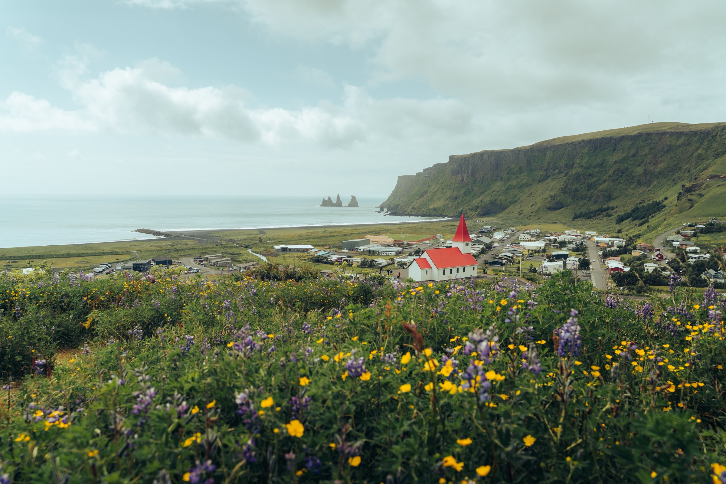
Storms on this coast can close the Ring Road and Reynisfjara for hours at a time, so stay the night: with a bed in the village, you just go back out when the weather turns.
Read the Vík guideExplore the rest of Vík
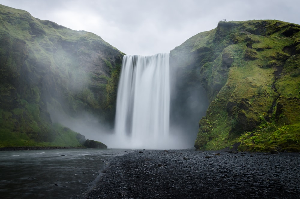
A 60 metre waterfall, 25 metres wide, on the Skógá river where it drops over the old coastal cliff line at Skógar. A staircase of 527 steps…
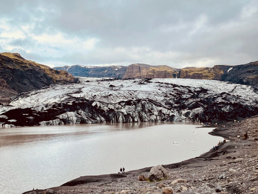
An outlet tongue of the Mýrdalsjökull ice cap, several kilometres long, ending in a meltwater lagoon that has widened as the ice has pulled…
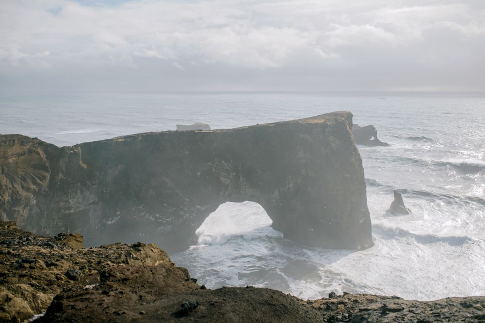
A headland on the coast west of Vík with two hills: low Lágey by the beach, and higher Háey, topped by a small lighthouse beside the sea…
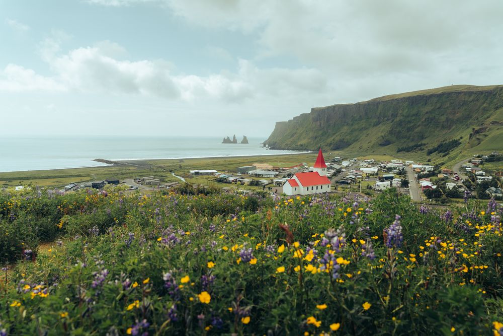
The southernmost village in Iceland, on the Ring Road about 185 kilometres southeast of Reykjavík, between the sea and the slopes under the…
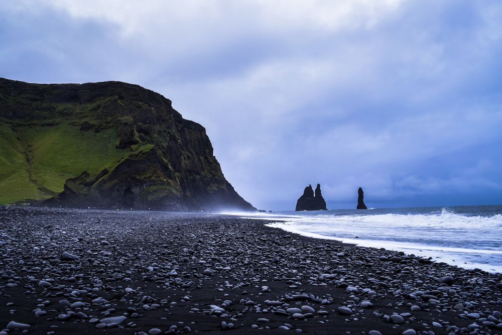

A black sand beach under Reynisfjall, backed by hexagonal basalt columns and the Hálsanefshellir sea cave, with the Reynisdrangar stacks…
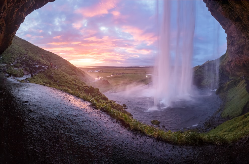
A fall of about sixty metres off the old sea cliff west of Eyjafjallajökull, dropping clear of the rock so that a path runs behind the…
A small country hotel on a farm below Eyjafjallajökull, held by the same family for generations and converted from the working steading in…
A hotel on the western side of the village, under the slopes of Reynisfjall and a short walk from the church and the black beach. Staying…




Save Kvernufoss to your Iceland trip in the Meridian Dispatch app and build the day around it, with the best of Vík pinned on one map.
Download on the App StoreThe official pages this guide was checked against.
Last updated