 Submit a photo
Ninety seconds on Chadwick Lakes
Winter and spring, on sunny days. The dams were built to let fresh water gather after the winter rain, and the streams tend to dry out in the hot summer, so the pools are at their best in the cooler months.
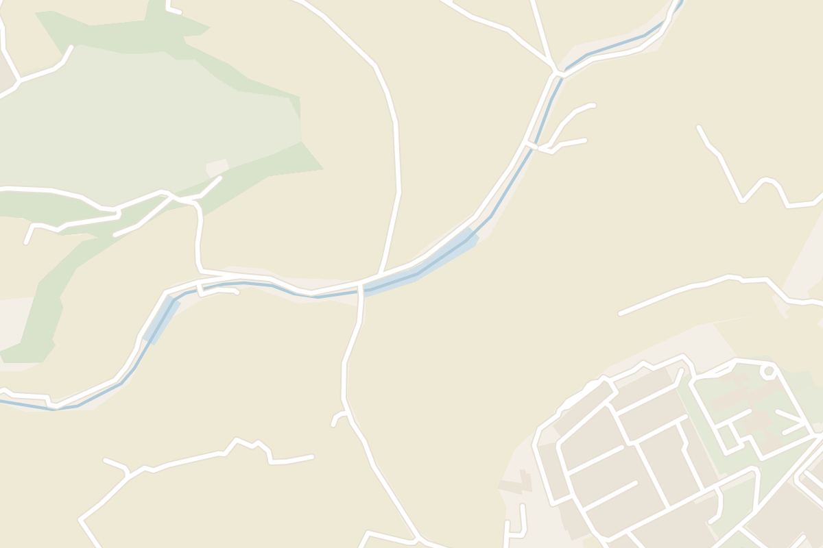
The upper end of the walk is where the Fiddien valley crosses the Rabat to Binġemma road. The lower end is the crossing of the Mdina to St Paul's road.
Yes. The ground is flat and open along the floor of the Fiddien, and one guide rates it an average walk. Take shoes with grip, because the path is slippery in places, especially on the narrow sections.
Two kilometres of protected wetland in the Fiddien, at the edge of Rabat, let you walk the whole valley floor through natural vegetation.
The site is a Special Area of Conservation of National Importance. Its ponds sit behind dams of various sizes and forms, each placed to keep back as much rainwater as possible.
They carry the name of Sir Osbert Chadwick, the British engineer who planned them in the late 19th century. A twin-arch masonry bridge from the same years still carries the crossing that links the site with Mtarfa and Rabat.
The water the dams hold soaks down into the groundwater aquifers, and farmers along the valley use it to irrigate their land. Farmland surrounds the ponds, and the ground is classed as wetland.
Small frogs live around the pools, and children try to catch them.
Between the two road crossings that bound the site, the trail keeps to the valley floor on a path beside the watercourse, and passes the dams and ponds along the way. You can start at either end.
The route mixes paved road with narrow trail. Stop at the pools as you go to look for birds on the water.
The trail is not a loop. Once you reach the far crossing, you walk back up the valley the same way.
Pack a picnic. Many visitors come on winter Sunday afternoons, so pick another day for a calmer walk.
Binoculars are enough here; leave the telescope at home.
For a longer day, one walker's route links a section of the lakes with two country chapels and a length of the Victoria Lines infantry wall.
Explore the rest of Rabat
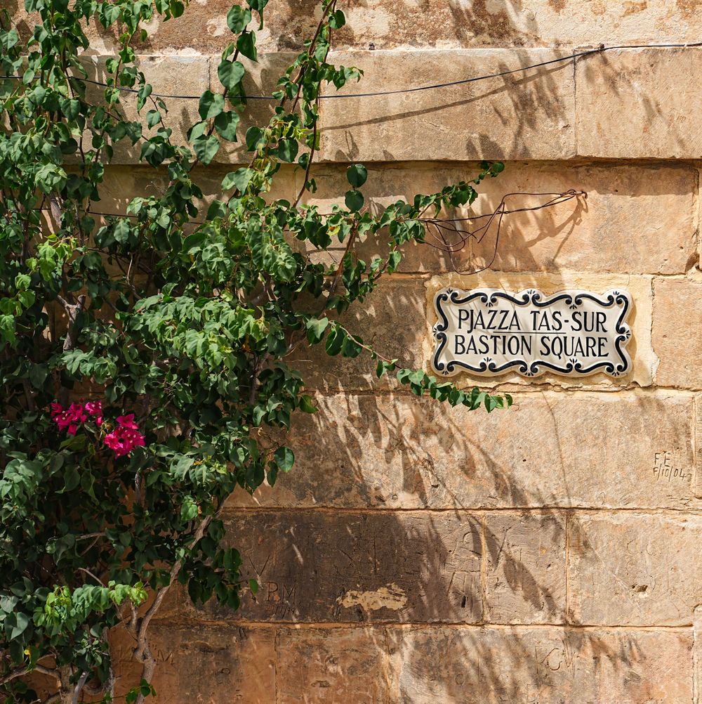
From the ramparts at the northern tip of Mdina, the view runs across central Malta to the Mosta dome and on to the sea at St Paul's Bay.…
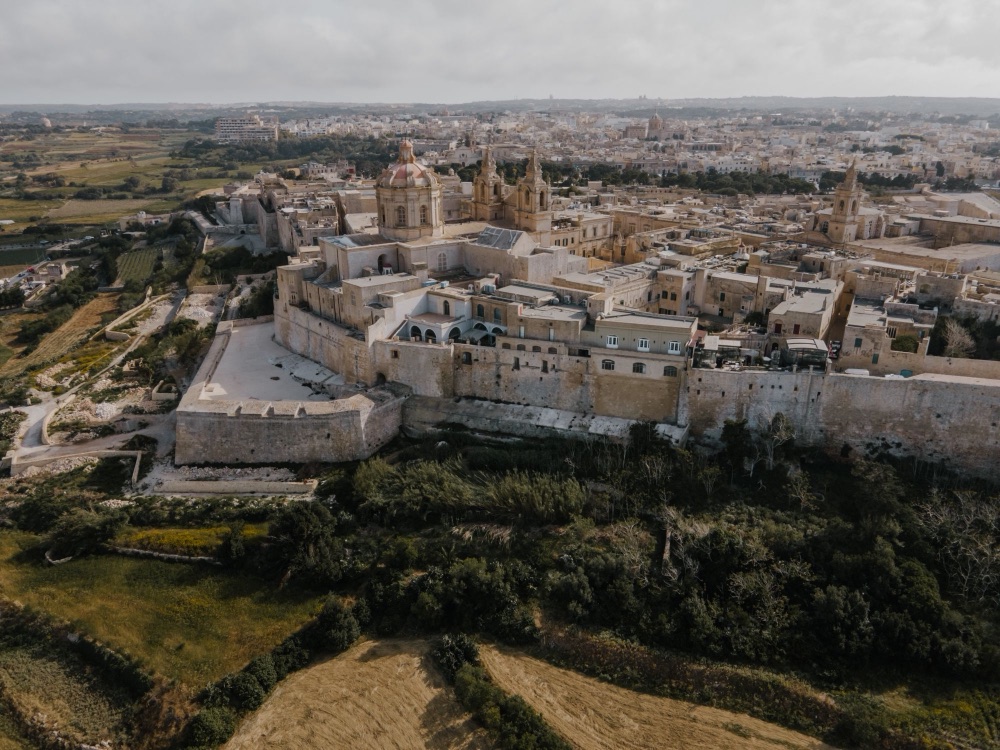
Inside a ring of bastions on a hill at the centre of Malta, the old capital is a quiet walled city of palazzi, churches and narrow lanes. A…
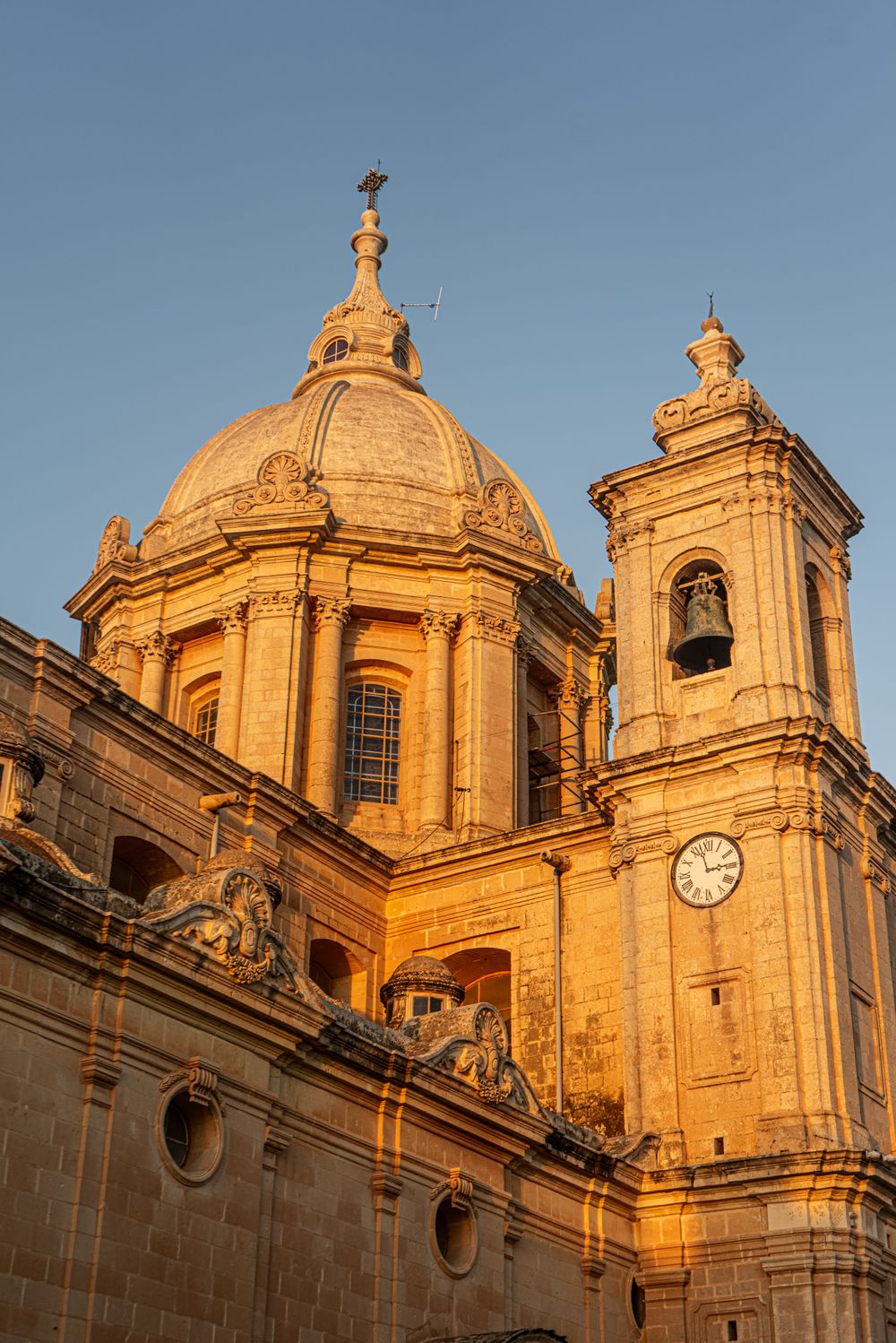
Baroque architecture and a floor of inlaid marble tombstones fill Mdina's cathedral, rebuilt by Lorenzo Gafà after the 1693 earthquake.…
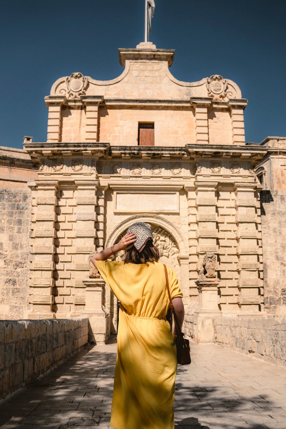
A stone bridge over the dry moat leads to Mdina's main gate, a baroque archway built in 1724 and carved with the arms of Grand Master…
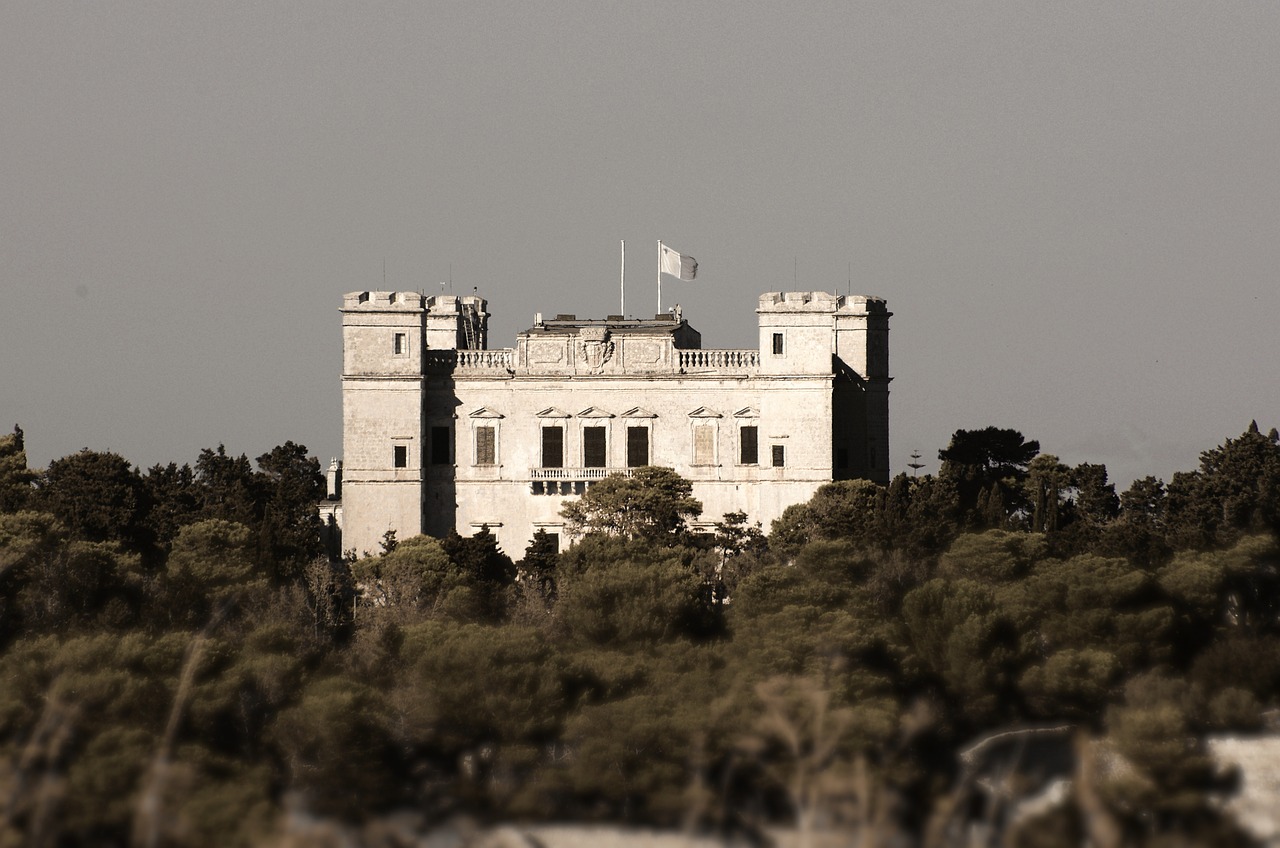
Malta's largest woodland fills a valley below Verdala Palace, with Aleppo pines, oaks, citrus groves and a stream that runs in winter.…
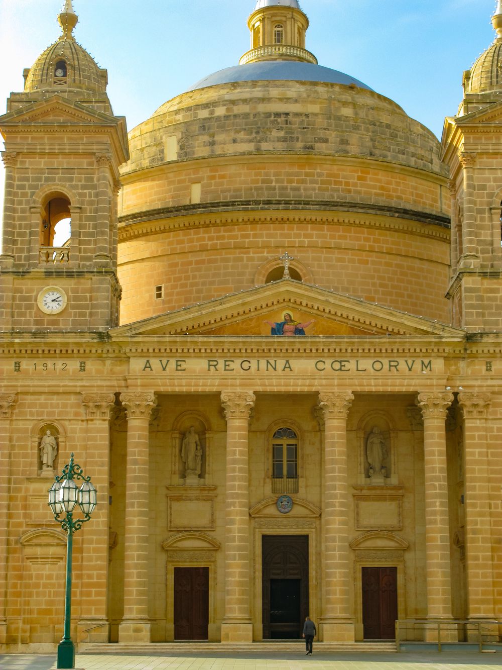
A dome among the largest unsupported church domes in Europe crowns Mosta's parish church, modelled on the Pantheon in Rome. In April 1942 a…
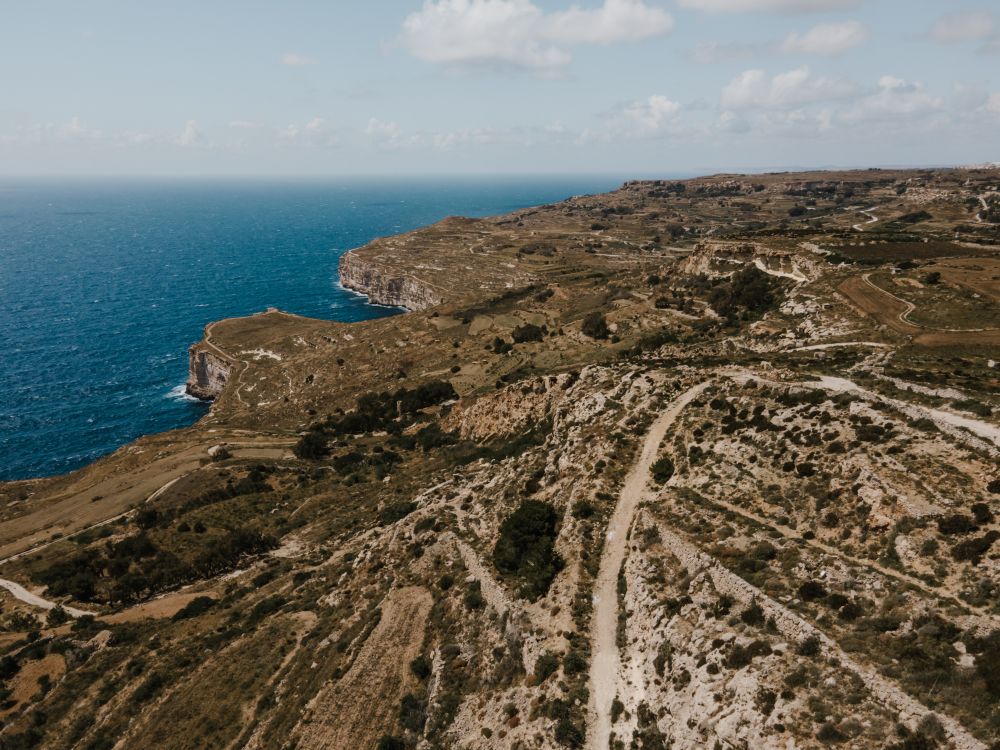
Sea cliffs drop around 250 m to the water along Malta's southwest edge at Dingli, the highest point on the island. A road and a footpath…
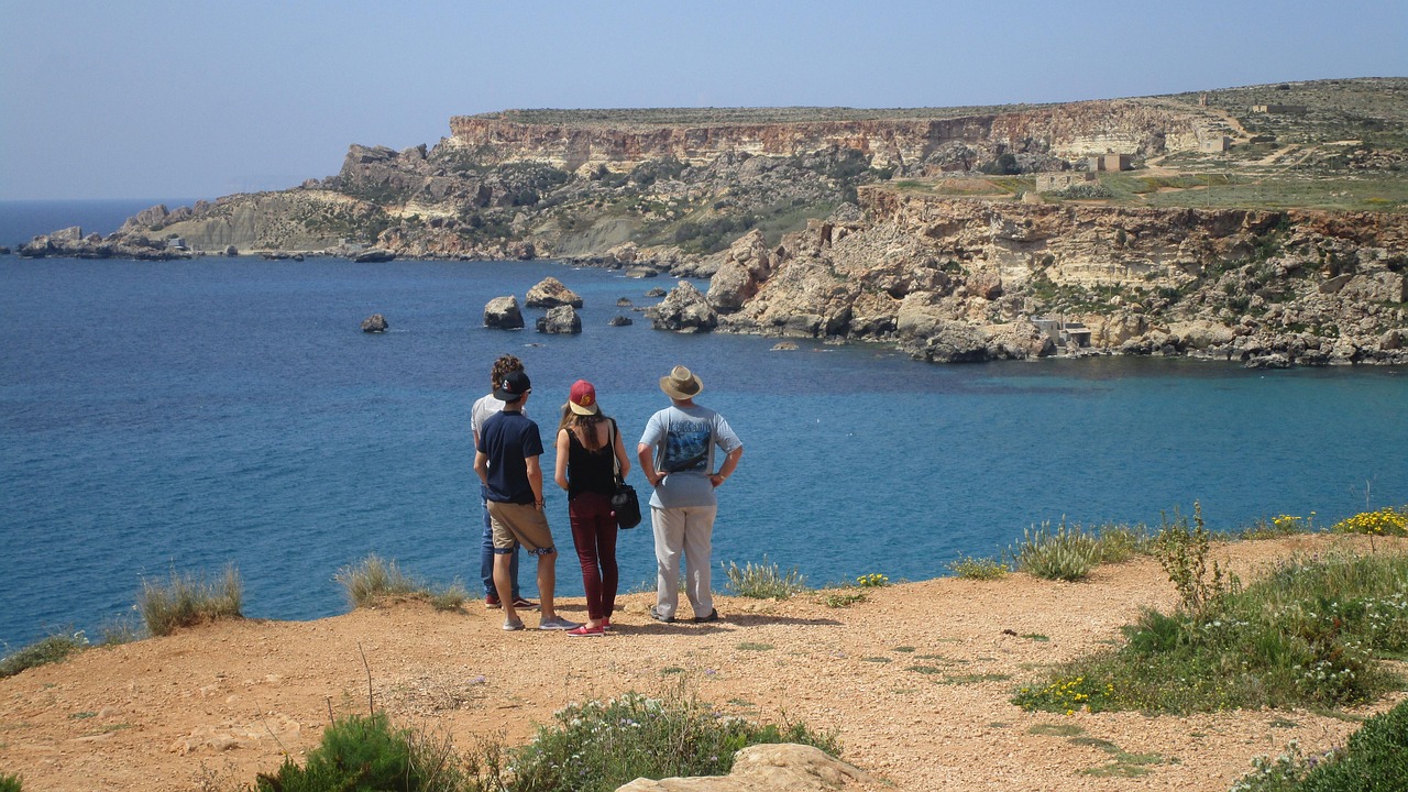
Steep clay slopes drop to a small sandy beach and broad flat rock shelves at the end of a narrow road below Mġarr. Fishermen's boathouses…
Last updated