
Eight kilometres of path follow a ruined wall along the escarpment that crosses Malta. You stay high on the ridge for the first five, from a country church above Baħrija, then drop into Mosta for the bus home.
Hike, Mdina. Meridian Dispatch.
Walking from Kunċizzjoni church to Mosta covers about 8 km one way and takes two and a half to three and a half hours with stops. The whole trail runs across Malta from Fomm ir-Riħ to Pembroke, and the government is turning it into the island's first national walking trail.
In part. Ambjent Malta, the government's environment agency, has put up direction signs and painted blazes along the Dwejra Lines, but signs elsewhere are patchy, so walkers load the route on a phone before setting off.
Take route 109 to Baħrija; it runs about once an hour on weekdays. The path starts at the end of the lane from Kunċizzjoni church, above the village.
Heights are approximate; the chart shows the shape of the walk.
On the walk the Great Fault reads as a giant step: the low northern half of Malta lies below you, with Gozo on the horizon. The Victoria Lines follow it from Madliena in the east to Binġemma in the west.
A string of British forts was linked by a wall and named for Queen Victoria's Diamond Jubilee. Army exercises soon showed it was of dubious value, and it was abandoned; long stretches have since collapsed or been built over.
The western section, from Kunċizzjoni to Mosta, is the longer and more varied stretch, with the better views. At Binġemma Gap the wall crosses a deep green valley on a masonry bridge, with caves in the rock below.
Further east, the Dwejra Lines run as a trench lined with gun emplacements. From this stretch you can see Malta's east and west coasts at the same time.
For the first five kilometres the walk stays high on the ridge. It dips a few times, deepest at Binġemma Gap, then climbs to the Dwejra Lines; those short rises add up to about 90 m of climbing.
After nearly a kilometre of lane at the start, the path passes Fort Binġemma. The rest of the high section is track and narrow path over rocky ground.
The path then meets the Mġarr road. From there the route drops about 130 m on road into Mosta, passing Tarġa Battery on the way.
Load the route on your phone before you set off, because the signs are patchy and the start at Kunċizzjoni is the easiest place to go wrong. About ten minutes along the wall, ignore the path down into a field and keep right up the hill.
Private-property signs appear along the way, some of them put up informally. Stay on the mapped route and walk around them.
There is no bus partway along the ridge, so once you set off, plan on walking all the way to Mosta.
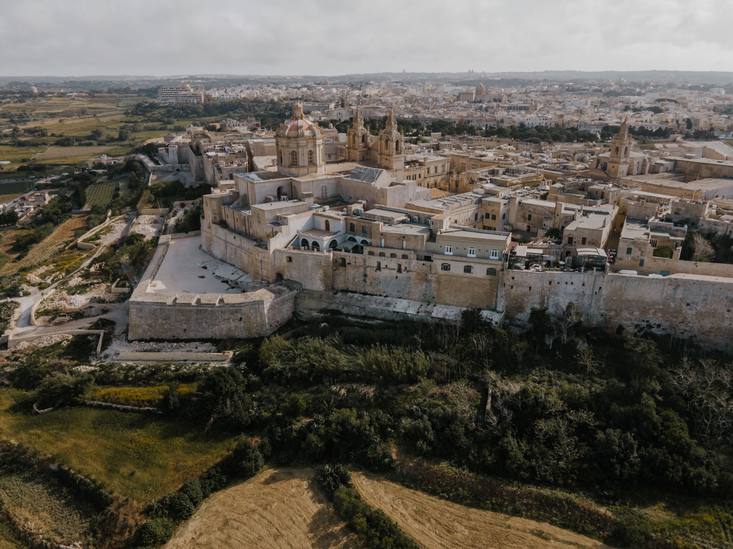
Give your afternoon to St Paul's Cathedral and the rooms of Palazzo Falson, then walk to Bastion Square on the city walls and watch the sun set over the countryside and the coast.
Read the Mdina guideEight more walks on Malta, Comino and Gozo
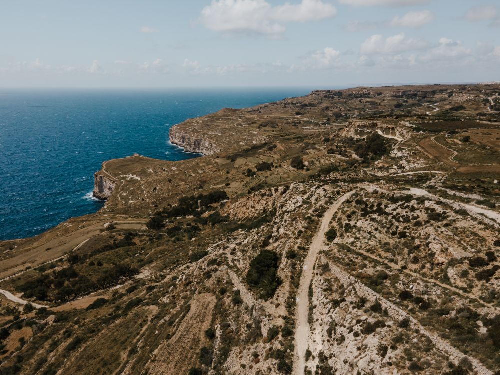
Malta's highest sea cliffs, from Dingli village to the chapel on the edge, then inland past the cart ruts to Buskett.
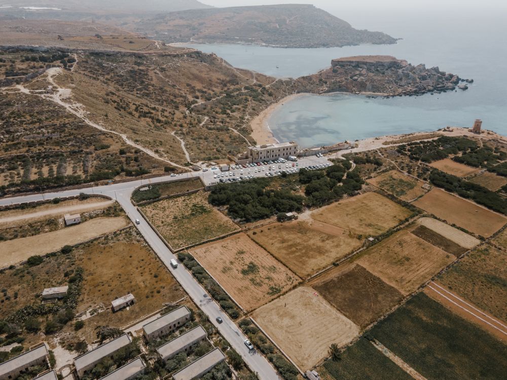
The protected cliffs above Golden Bay, walked north past two old towers and a swimming cove to Anchor Bay.
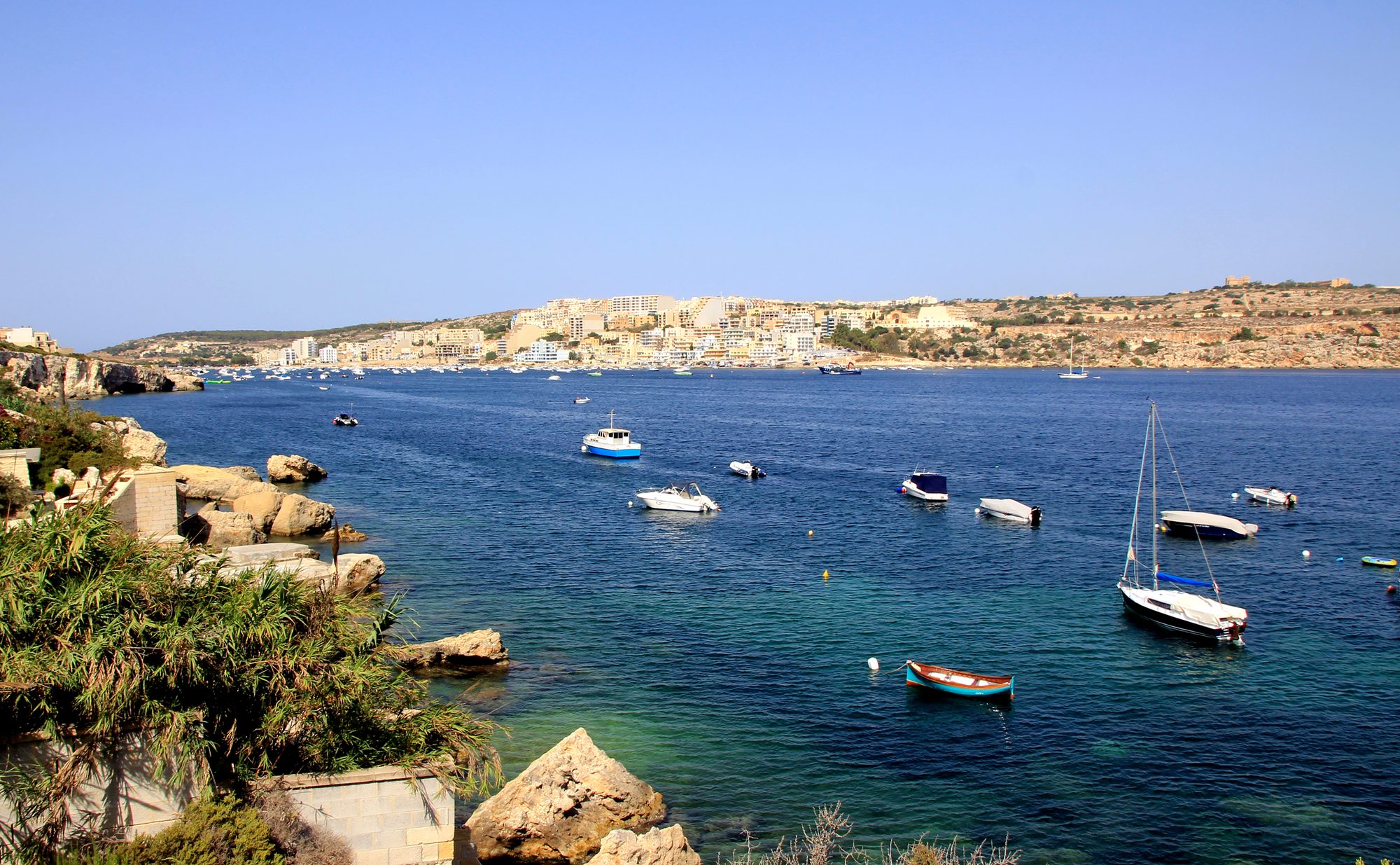
Two thousand years of Maltese country life on the low hill above Xemxija Bay, the sites a few minutes apart.
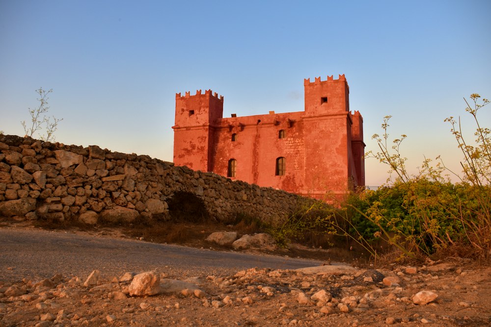
Round the whole Marfa peninsula from the Red Tower, with Comino and Gozo in view and a swim at Paradise Bay.
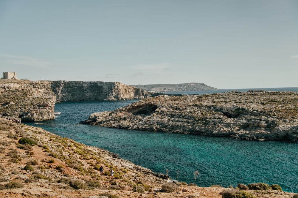
Round the island along the south cliffs, then back to the Blue Lagoon for a swim.
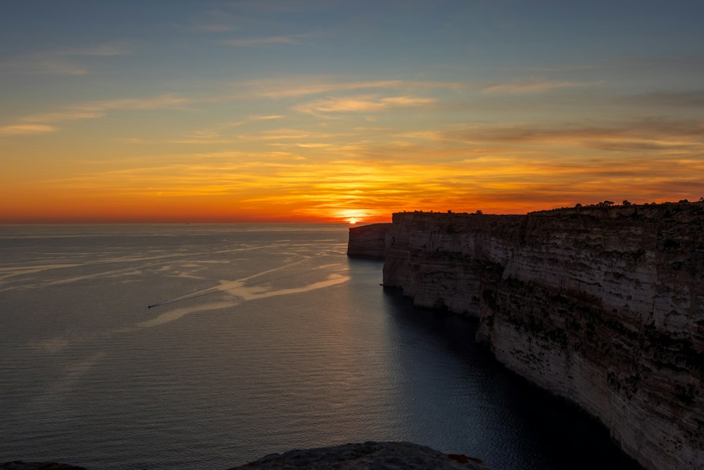
Gozo's tallest sea cliffs, walked from Sannat down to a swimming inlet.
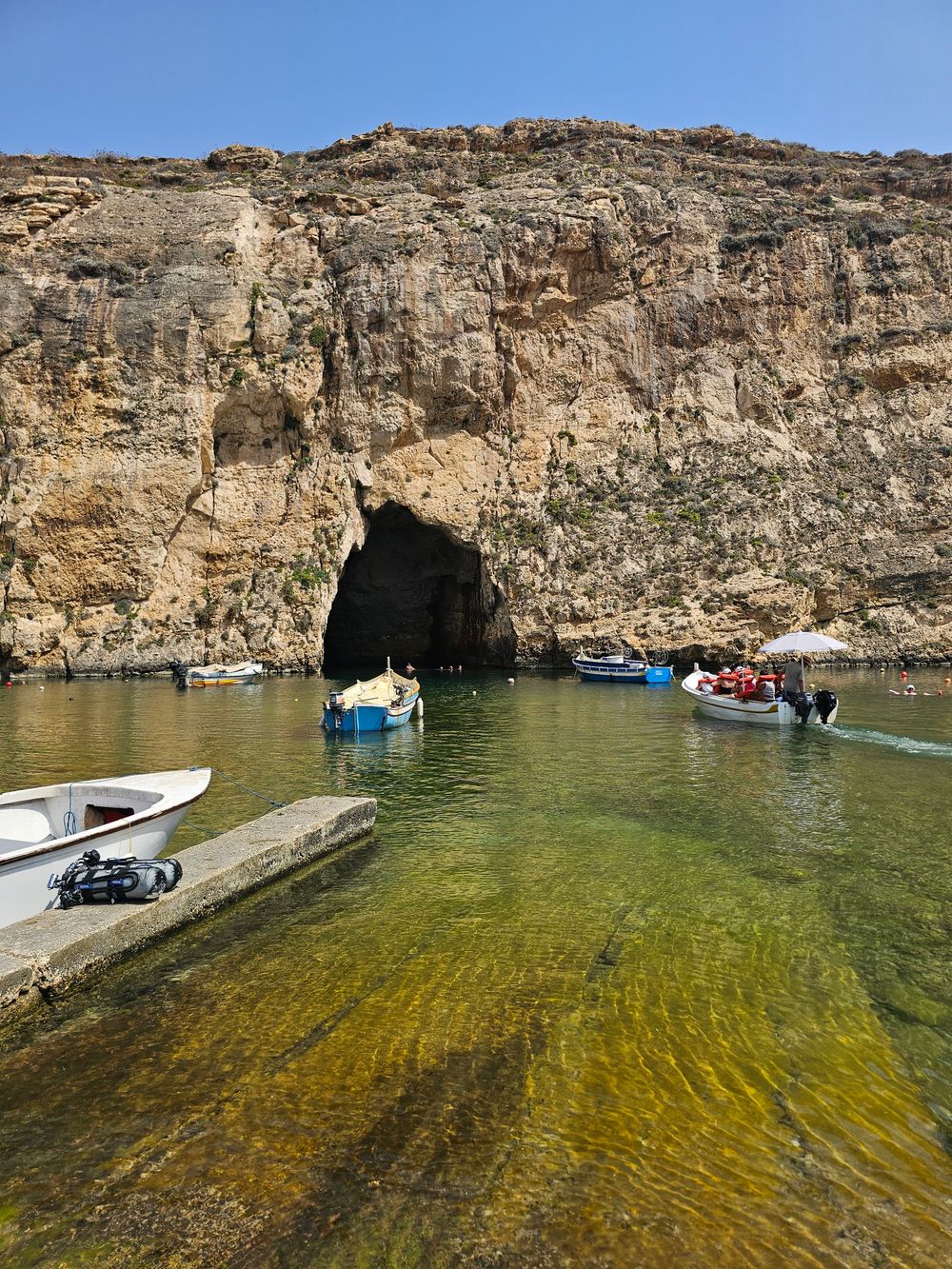
West Gozo's open cliff tops from Xlendi Bay to Fungus Rock, with the Inland Sea at the end.
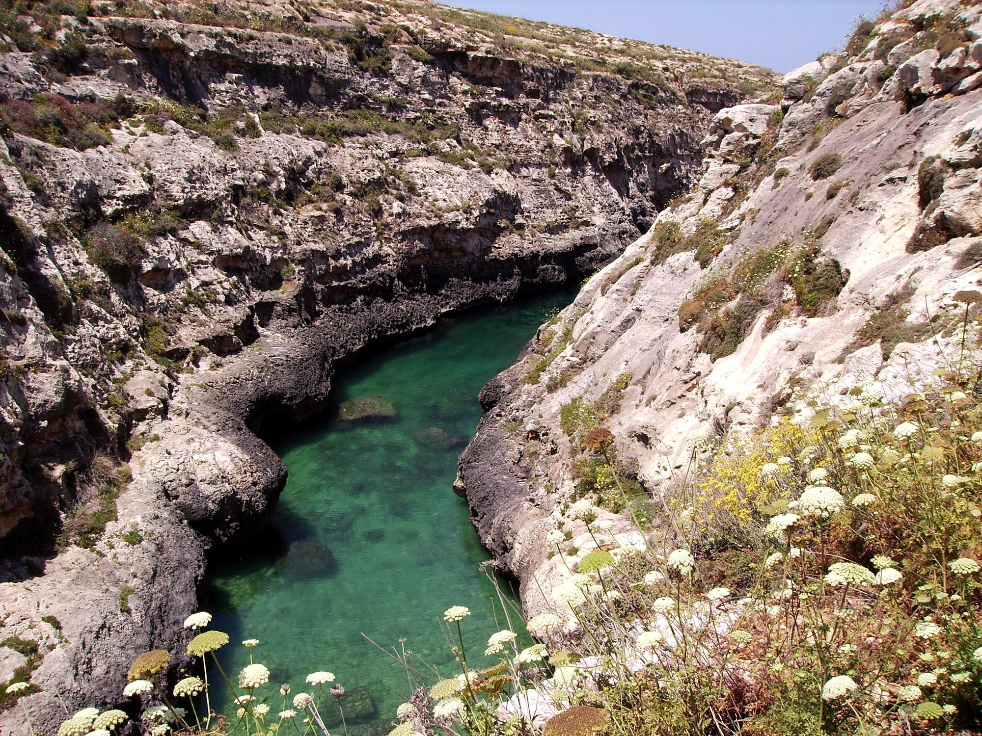
Gozo's north shore from Marsalforn, across the salt pans to a narrow sea gorge and its pebble cove.



Save Victoria Lines to your Malta trip in the Meridian Dispatch app and build the day around it, with the best of Mdina pinned on one map.
Download on the App StoreLast updated