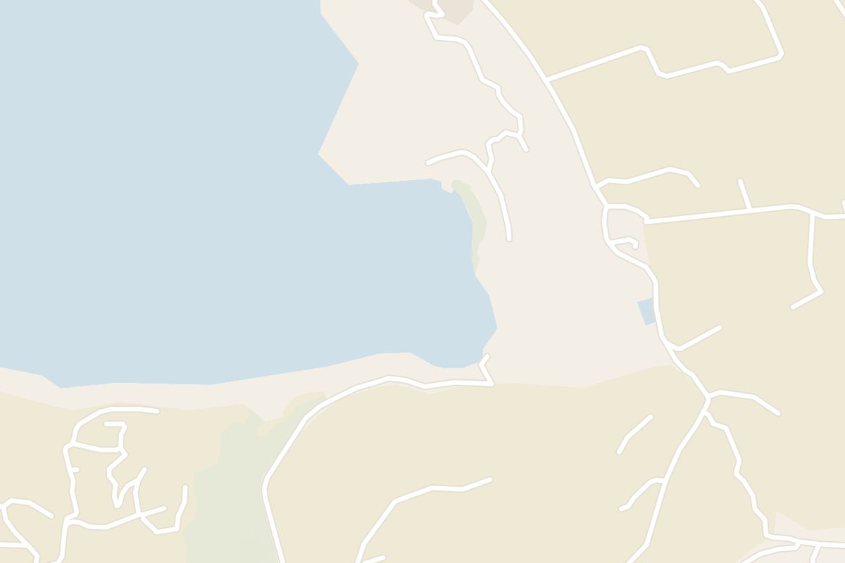
Fomm ir-Riħ means mouth of the wind in Maltese. It names a west-coast bay where a pebble beach lies under sheer cliffs and an unusual fold in the rock layers.
Beach, Rabat. Meridian Dispatch.
Only on foot. The path begins at the car park in Baħrija village and drops steeply over clay with no waymarks, and its last stretch runs along the face of the cliff down to the stones.
Buses reach Baħrija village; check current times with Malta Public Transport, then walk the rest. By car the village is 15 to 20 minutes from Rabat or Mdina.
No. The clay path turns dangerously slippery when wet, and the cliffs above are unstable after rain. Do not go down until the ground has dried.
Pebble and boulder, with no sand at all. It is a wild cove at the foot of clay cliffs on Malta's west coast rather than a regular beach day.
It is not ideal for swimming. The water is open sea rather than a sheltered lagoon, and the rocky, slippery clay shore makes getting in and out of the water awkward.
None. The bay has no facilities of any kind, so all the water and food for the day has to be carried down the cliff path from Baħrija and back up again at the end.
A fault line runs through the bay and shapes the vertical cliffs. The walls show a mix of sedimentary rock layers, stacked in bands from the shore upward.
Behind the beach is a syncline: the layers bend downward into a trough instead of lying flat. Stand at the water's edge and look back inland to see the curve.
Halfway along the descent, a natural gap in the clay banks frames the cove and the open sea beyond it, sharpest in the morning light of a June or July day. Further on, the whole bay opens below you as one panorama.
Watch the slopes high above the water for the Maltese freshwater crab, which makes its home there.
Turning right in the centre of Baħrija village brings you to the car park where the walk starts, about 2 km from the water. Private land surrounds the bay, and the path from this car park is the access most visitors use.
A rough, unpaved track soon gives way to an unmarked path of loose clay. The scramble down is steep.
The final stretch is a narrow ledge cut into the side of the cliff, then a short climb down onto the stones. Spend your time on the beach and save strength for the return, which is the same path uphill.
There is no mobile signal at the bay, so tell someone your plan before you set off and carry what you need for the walk back up.
You can also see these cliffs from the water on a boat trip along this coast, and the view is at its best at golden hour.

Two nights in Rabat, next door to Mdina, give you one day in the catacombs under the town and another on the sea cliffs at Dingli.
Read the Rabat guideAround Rabat
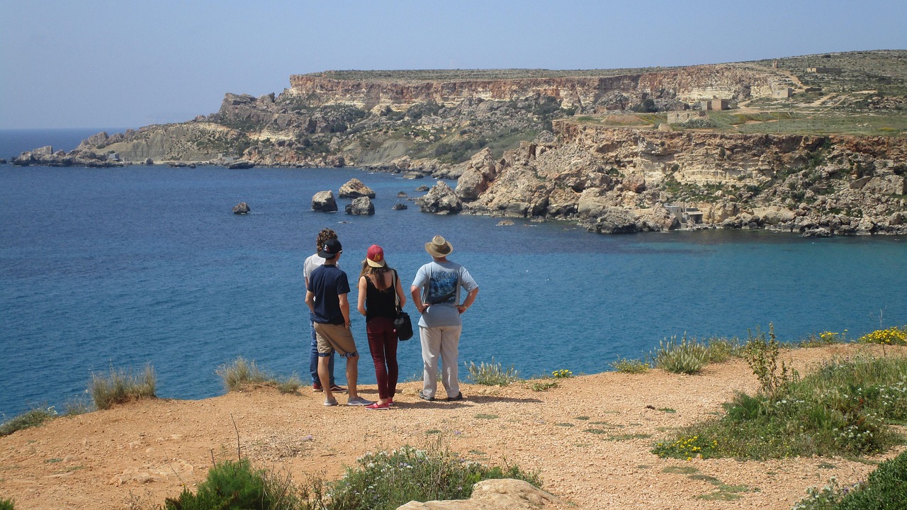
Steep clay slopes drop to a small sandy beach and broad flat rock shelves at the end of a narrow road below Mġarr. Fishermen's boathouses…
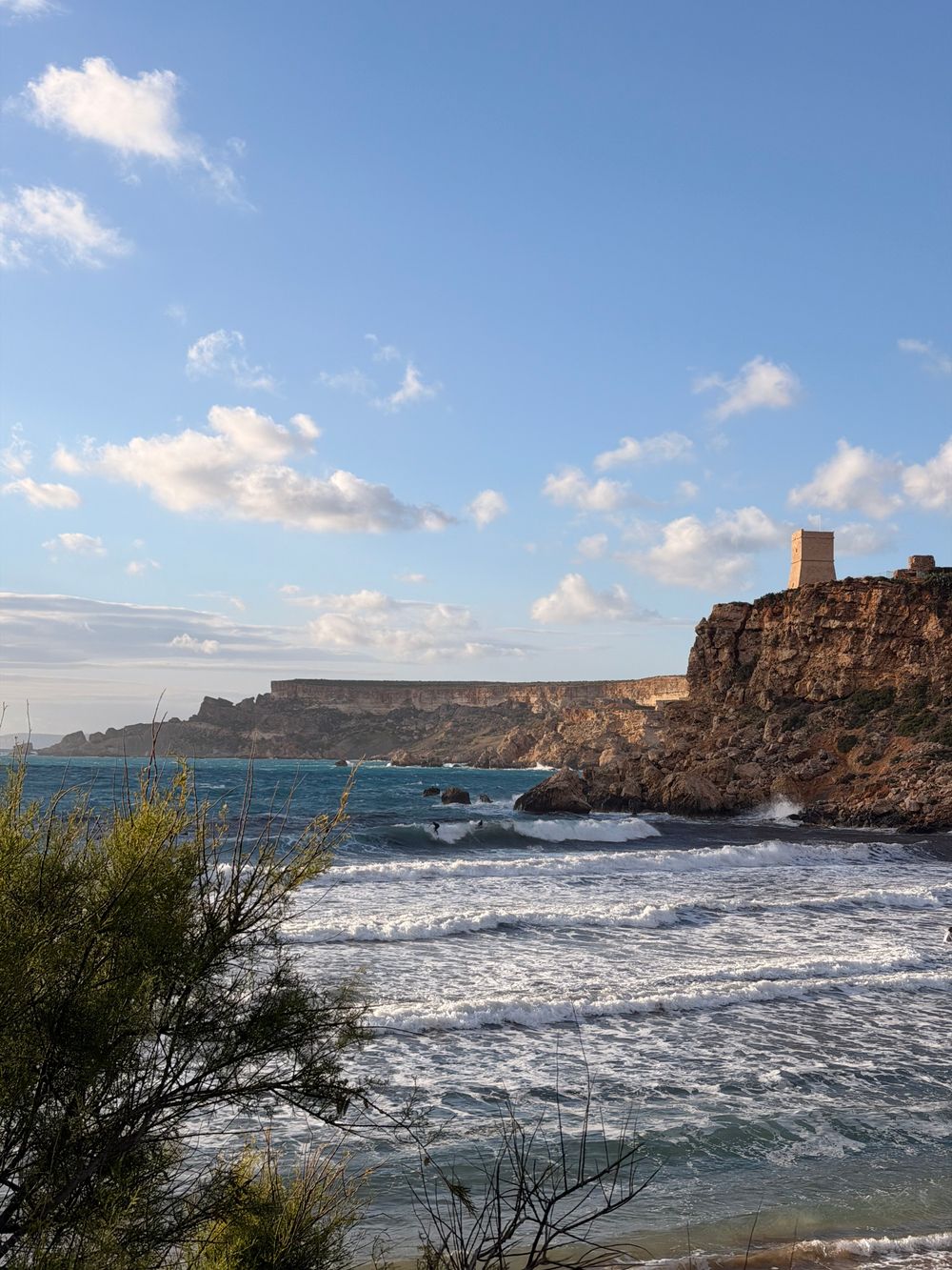
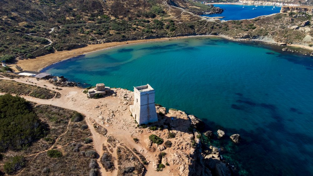
Square and stone-built, this small watchtower stands on the headland between Golden Bay and Għajn Tuffieħa, and the reason to climb to it…
Reddish sand sits at the foot of eroding clay slopes, reached only by a long stairway of roughly two hundred steps from the car park above.…
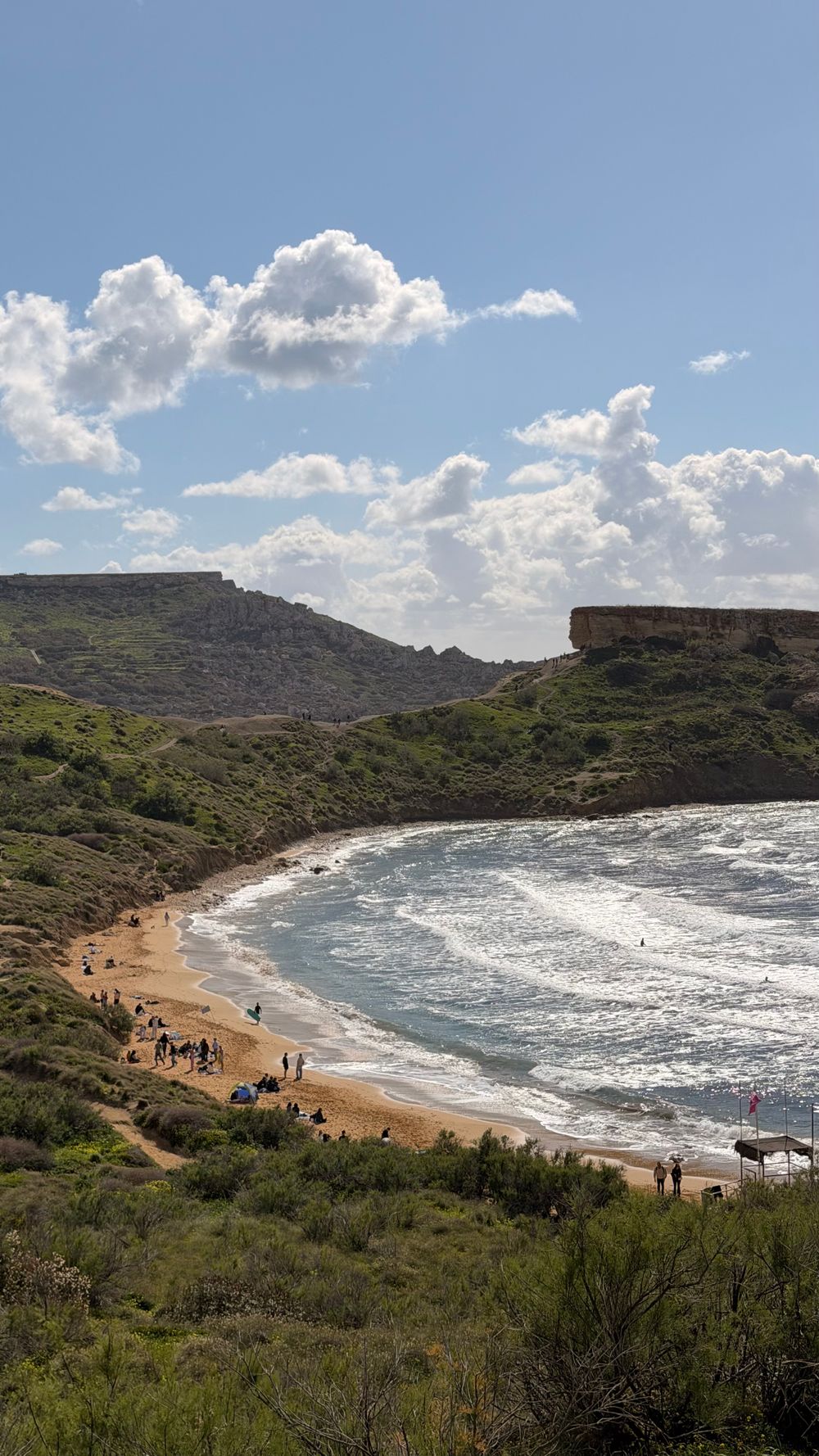
A wide arc of soft sand faces due west, so evenings here end with the sun dropping into open sea. Lifeguards, sunbed rental and kiosks run…
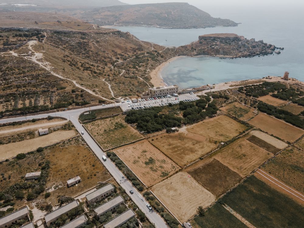
Garrigue, clay slopes and limestone plateau run along the northwest coast here, protected as Majjistral Nature and History Park. Waymarked…
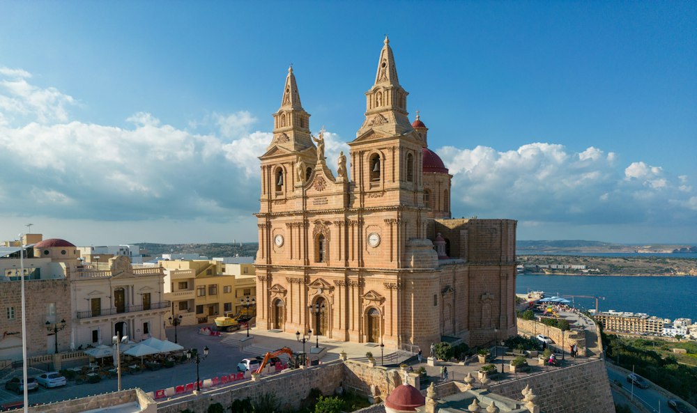
On a ridge above a sandy bay, this hilltop town is the base for the northern beaches, the boats to Comino and the Gozo ferry at Ċirkewwa.…
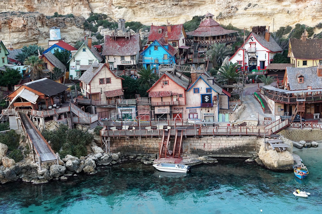
A narrow rocky inlet on the west coast, this cove holds the film set of Popeye Village on its northern side. The free viewpoint on the…
Starting at a road sign reading The Roman Road above Xemxija Bay, this walk of about 4 kilometres links some twenty sites: an old road,…




Save Fomm ir-Riħ to your Malta trip in the Meridian Dispatch app and build the day around it, with the best of Rabat pinned on one map.
Download on the App StoreLast updated