 Submit a photo
Ninety seconds on Epupa Falls Viewpoint
The viewpoint lies just before the settlement of Epupa, about three to four hours' drive from Opuwo on the C43. A sign on the approach points the way up. For a self-drive trip, a 4x4 with reasonable ground clearance is strongly recommended.
Yes. The hill charges a small fee, which may be settled in money, in kind or as a single combined charge. Visitors should ask at their camp how it is collected.
The hill is recommended especially in the evening, when the sun disappears behind the Baines Mountains. Lodge tours that take in the falls leave at five or six in the afternoon and last one to two hours.
April and May are the best months to view the falls, when the normally divided channels can carry much more water and turn brown. June and July are drier and easier to travel.
The walk up from the Epupa Lodge campsite takes about 20 minutes. Most visitors stay around half an hour on top, where makeshift roofs give shade and benches give a rest after the climb.
No. Swimming and wading in the Kunene at Epupa are not allowed, given the strong currents and the Nile crocodiles living in the river. Keeping a safe distance from the water's edge is also advised.
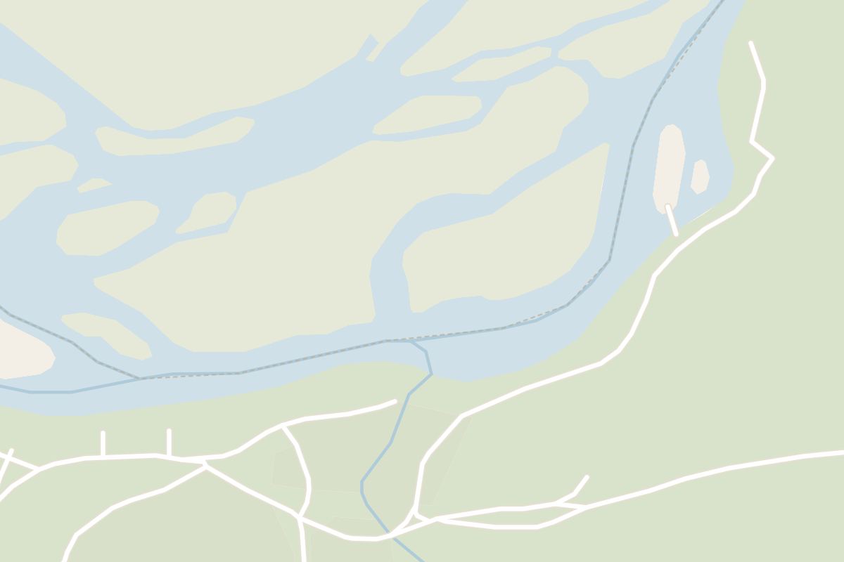
Climb the hill just west of the Epupa camps and the Kunene River spreads out below you, split into channels and cascades, with Angola on the far bank. In the evening the sun goes down over the whole spread of falls.
From the top, the Kunene stops looking like one river. It breaks into dozens of small waterfalls spread over about 1.5 kilometres, and at several points a channel seems to vanish into the gorge altogether. The greatest single drop is 37 metres, but the spread is what the hill gives you.
Look next at the colour: white spray rising against red rock walls. Down at the falls, baobabs hold on to the bare cliffs with the spray drifting round their trunks.
The river is the border here, so the far bank and the hills beyond it are Angola, and rust-coloured mountains rise on every side. The semi-nomadic Ovahimba people live around the falls.
The Kunene runs all year, but the spread, the spray and the force of the cascades change with the rains. After a good rainy season the river swells; in a dry spell the falls can run thin, though the rock face still holds the eye. No month promises the view in the photographs, so ask at your camp how high the river is running.
A small sign on the road in, just before the settlement, points to the viewpoint, and from there a narrow path climbs the steep hill. Go up in the late afternoon.
On top, shade roofs and benches give you somewhere to get your breath back. A local man is sometimes waiting under them and will explain what you are looking at. Half an hour on top is the usual stay.
If you would rather not walk, drive back out along the main road the way you came in. Behind the hill, seen from Epupa, a signposted track on the right climbs to the top.
Take a sun hat and comfortable shoes up with you, because the path is steep and the rocks around Epupa can be uneven and slippery. If anyone in your group is slow on rough ground, ask your camp or guide to match the route to the day's heat, the river level and the slowest walker. Down at the falls themselves, keep well back from the water's edge.
Epupa Falls, and further afield
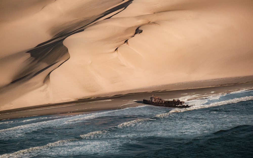
Black gravel plains, bone coloured dunes and a fogbound shore run north from the Ugab gate for hundreds of kilometres. The southern section…
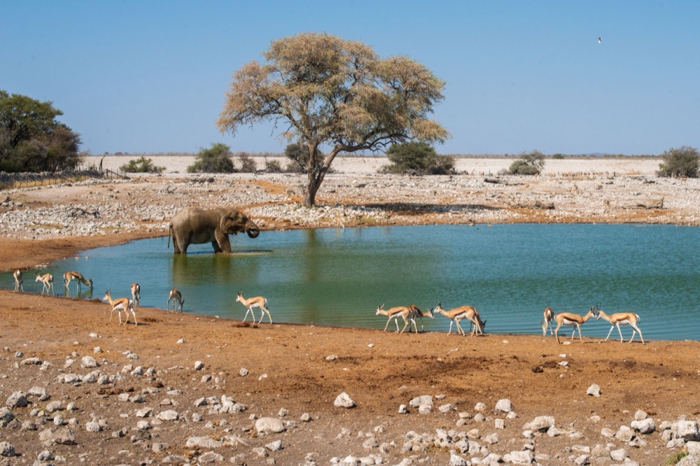
Etosha's oldest rest camp, and the largest, sits 17 kilometres inside the park's southern gate, with chalets, a campsite, a fuel station…
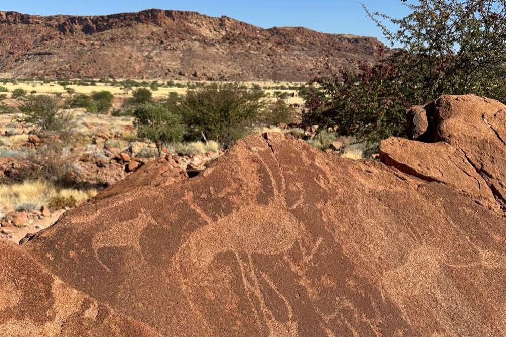
More than two thousand engravings are cut into the sandstone slabs of a valley here, and the site became Namibia's first World Heritage…
Makalani palms and baobabs line the Kunene where it breaks into channels and drops over a rock shelf, with Angola on the far bank. Himba…
Administrative capital of the Kunene, where Himba, Herero and Zemba come in to trade and where the tar road gives out. It is a working town…
A veterinary cordon fence crosses the road at this point, and past it lies a concession of several thousand square kilometres held for…
The public road up the Skeleton Coast ends at a barrier just north of this camp, and nothing beyond it is open to self-drive. Low buildings…
A community-run open-air museum near the Twyfelfontein engravings, where Damara men and women show fire-making, blacksmithing, plant…
Last updated