 Submit a photo
Ninety seconds on Skeleton Coast National Park
As of 2026 both gates, Springbokwasser in the east and Ugabmund in the south, open at sunrise, set at 7am, and the last vehicle is let in at 3pm. Nothing later gets through, so a day's drive from Swakopmund or Palmwag has to be timed to reach the barrier well before mid-afternoon.
Yes. A permit is required for any part of the park, and entrance fees are charged per person and per vehicle for each day. Those fees are separate from any accommodation booking. Terrace Bay admits only guests with a confirmed booking, and anglers must get a fishing licence before they enter.
On Namibia's northwest coast. The park runs about 500 km from the Ugab River in the south to the Kunene River on the Angolan border, and reaches about 40 km inland. At 16,390 square km it is a long, narrow strip of dunes, gravel plain and beach rather than a park with one centre.
Yes, but only at designated sites run by Namibia Wildlife Resorts. Terrace Bay has double rooms, a single beach chalet, a restaurant and a bar. Torra Bay campsite, further south, opens only in December and January. Sleeping anywhere else along the coast road is not allowed.
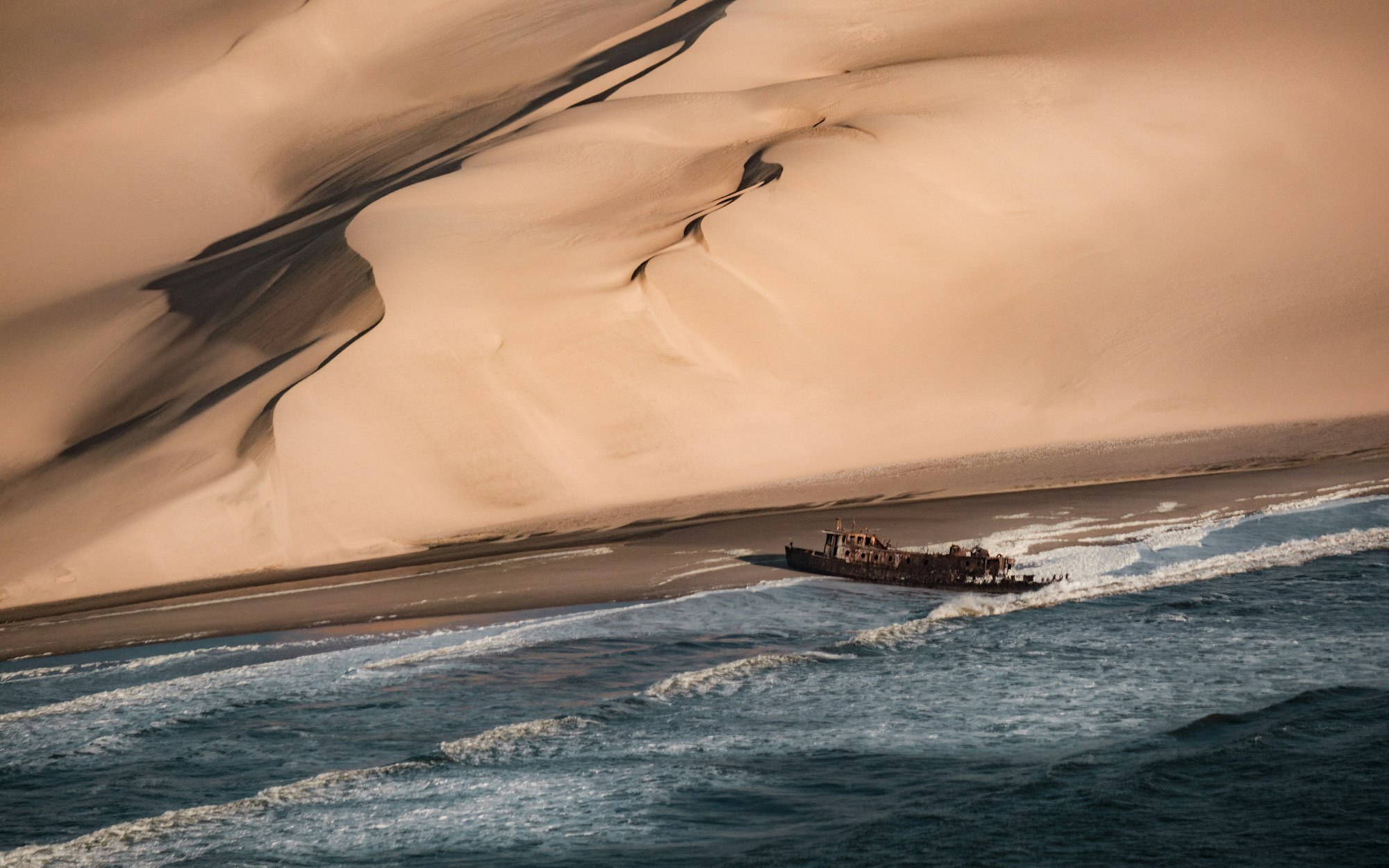
For the hulls and the bones. Thick fog and the cold Benguela Current drove ships onto this shore, and the windswept beaches are still littered with hulls, bones and other debris. The same current brings the cold sea breeze that keeps this coast cold and grey even in summer.
Desert-adapted elephant and lion head the list, along with cheetah, crocodile, springbok, Hartmann's zebra and oryx. Offshore there are Heaviside's dolphins and green turtles, and 306 bird species have been recorded. The smallest residents are the lichens: more than a hundred species grow on the plains and the west-facing slopes.
Worth a full day of driving: the salt road north from the Ugab gate passes shipwrecks rusting in the surf and gravel plains spotted orange and green. The cold Atlantic stays beside you the whole way.
Three wrecks and an old drilling rig are within reach of the southern road. The South West Seal, a vessel that caught fire and beached, is mostly gone, its ribs poking through the sand at the waterline. The Winston, near the Ugab, is further gone still, and Rondeklip lies on the same stretch.
Further north, the rig lies on its side in the surf, its steel eaten through by the salt. The Eduard Bohlen is not on this road: it sits inside a restricted diamond concession in the south and is off-limits to self-drive visitors.
Between these sights, the gravel plains are covered in lichens, from deep orange through greens to dull black, and more than 100 species have been recorded. They live on the fog that rolls in off the ocean every day, and one rock can carry five species. On a cool, foggy morning they open and show their colours; on a dry, windy afternoon they fold and turn hard to spot.
The Ugab and Huab rivers cross the park as dry beds, but water runs under the sand for most of the year. That is why the plants and almost all the wildlife gather along them. Down on the beaches, brown hyenas feed on whatever the sea washes up.
Arriving at the Ugab gate from the south, you fill in the paperwork for a transit permit, which you can buy at the gate. The first of them sit on the stretch near the Ugab: the South West Seal just off the main road, with the Winston and Rondeklip close by.
Watch the ocean side for the drilling rig further on, because there is no sign and no pull-off. Look at it from the beach rather than climbing on it, since the salt has eaten through the metal.
Between stops, pull over on the gravel plains and walk a few paces from the car to look at the crust, and put back any stone you lift the way it lay.
The first stretch of road north is notorious for shredding tyres, so carry a spare, or two, and a jack that works. Fill up at Mile 108 on the way north or at Palmwag from the east, and do not rely on fuel inside the park.
Slow right down in fog. Pack a windbreaker, warm shoes and sun cream, since the coast is cold and windy in every month. Phone reception ends at the gates, so download your maps before you go in.
Stay on the road: a tyre track across the gravel plains kills the crust and stays visible for decades. The sand and riverbed tracks off the main road need a vehicle with low range.
Terrace Bay, and further afield
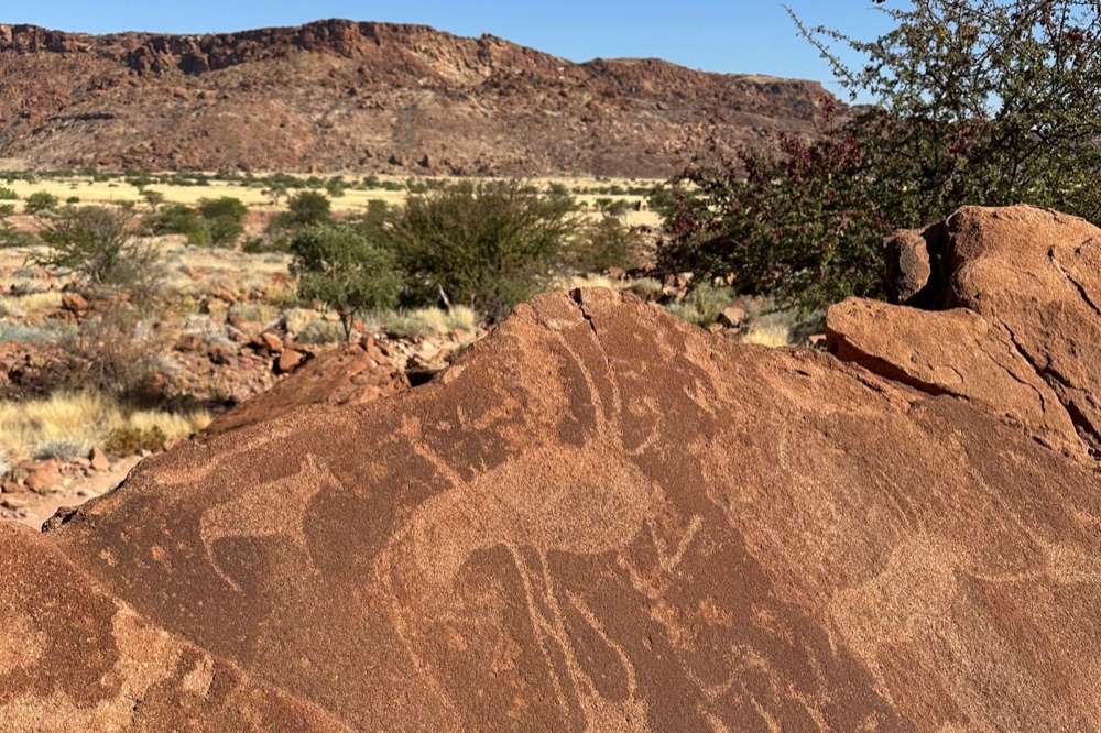
More than two thousand engravings are cut into the sandstone slabs of a valley here, and the site became Namibia's first World Heritage…
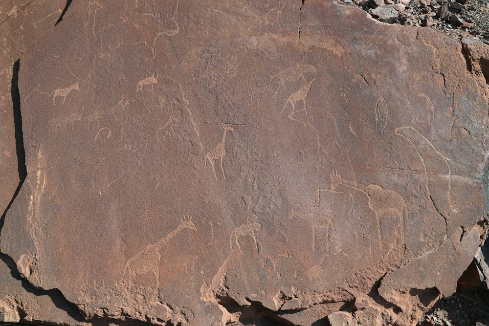
Hunter gatherers cut animals, spoor and geometric figures into the slabs above a spring over a period running to several thousand years,…
The public road up the Skeleton Coast ends at a barrier just north of this camp, and nothing beyond it is open to self-drive. Low buildings…
A veterinary cordon fence crosses the road at this point, and past it lies a concession of several thousand square kilometres held for…
Administrative capital of the Kunene, where Himba, Herero and Zemba come in to trade and where the tar road gives out. It is a working town…
A community-run open-air museum near the Twyfelfontein engravings, where Damara men and women show fire-making, blacksmithing, plant…
A steep hill just before the settlement on the road in, rising over the Namibian bank of the Kunene where the river splits around rocky…
Makalani palms and baobabs line the Kunene where it breaks into channels and drops over a rock shelf, with Angola on the far bank. Himba…
Last updated