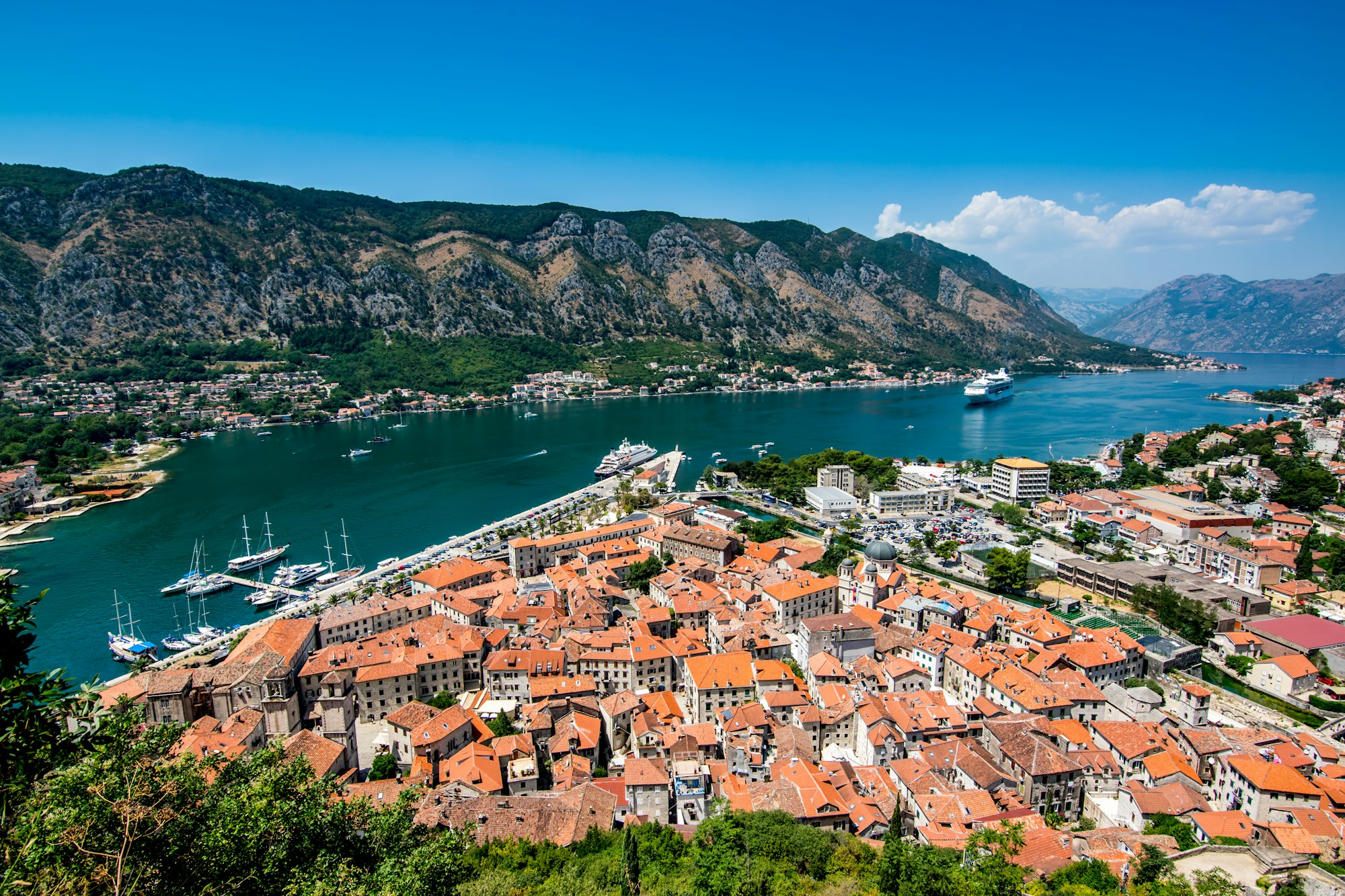
Six medieval towns sit on the shores of this one bay, and a single loop by road and ferry runs past most of them. Drive it in an afternoon, or give it two days and stop in each.
Landmark, Kotor. Meridian Dispatch.
No, although it is often sold as the world's southernmost fjord. Geologically it is a ria, a river valley that the sea flooded, rather than a trough carved out by ice.
Not very deep: roughly 60 to 70 metres at its deepest point. Across the whole bay the average is closer to 27 metres, which is shallow water for an inlet walled in by limestone mountains rising straight off the shore.
By car ferry across the Verige Strait, between Kamenari and Lepetane, which runs all year. As of 2026 the operator's winter timetable sends a boat every 20 minutes between 06:00 and midnight. Summer runs on a separate timetable, so the operator's current schedule is the one to check before planning a crossing.
Yes, though the shore is not one long beach. Perast has no beach zone at all, and its waterfront is not suited to a day of sunbathing. The better swimming comes from getting out on the water, by boat, paddleboard or kayak, with the Blue Cave on the Luštica peninsula the best-known place to go in.
Chiefly the old towns on its shore, six in all, and the islands between them. Off Perast, the church of Our Lady of the Rocks appears to float in mid-bay, and around Herceg Novi and Risan farms raise Adriatic oysters and mussels.
The shore road from Kotor through Perast and Morinj to Herceg Novi runs 43 kilometres, about one hour of driving without stops. Two days is the recommended time to travel the whole route at an easy pace.
The Bay of Kotor looks like a fjord, but it is a ria: the drowned valley of a river that once ran down from the high plateaus of Mount Orjen. The sea filled the valley and left the long, winding inlet you drive round from Kotor.
Halfway in, the two shores close in to form the Verige Strait, only 340 metres across at its narrowest. The car ferry from Kamenari to Lepetane crosses here, and it is what turns a drive round the bay into a loop.
The medieval towns on the water are Kotor, Risan, Perast, Prčanj, Tivat and Herceg Novi. Off Perast, two islets sit in the bay: Saint George and Our Lady of the Rocks.
Start in Kotor and follow the shore road out of town. Perast is the first stop: leave the car in one of the two small car parks at either end of the village and walk in along the water.
From the Perast quay, a boat crosses to Our Lady of the Rocks in under ten minutes. Back on the road, carry on through Morinj to Herceg Novi at the mouth of the bay.
On the way back, turn off at Kamenari for the ferry, five minutes on the water across the strait. From Lepetane the road runs back toward Kotor along the opposite shore, with the inner bay in front of you.
In July and August the Kamenari ferry queues badly, worst at weekends and at the morning and evening rush, when the wait can reach an hour. Cross before 7am or after 6pm, and buy the ticket online to skip the wait at the kiosk.
Expect delays on the bus, and do not plan a tight connection on the way back to Kotor.
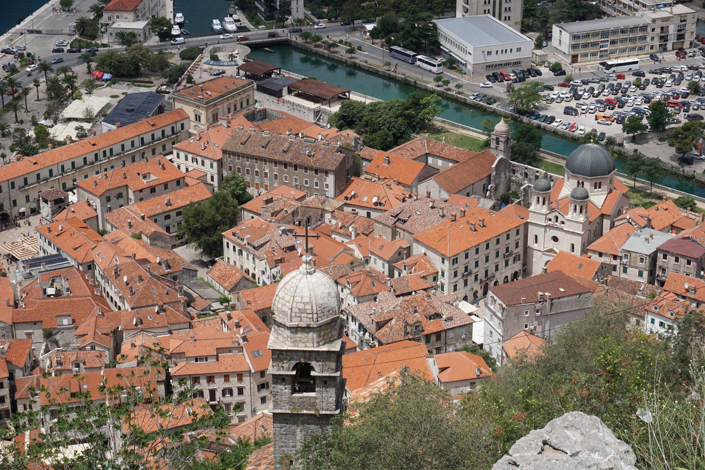
Kotor is a town for evenings: once the cruise ships sail, you have the lanes and squares inside the walls almost to yourself.
Read the Kotor guideExplore the rest of Kotor
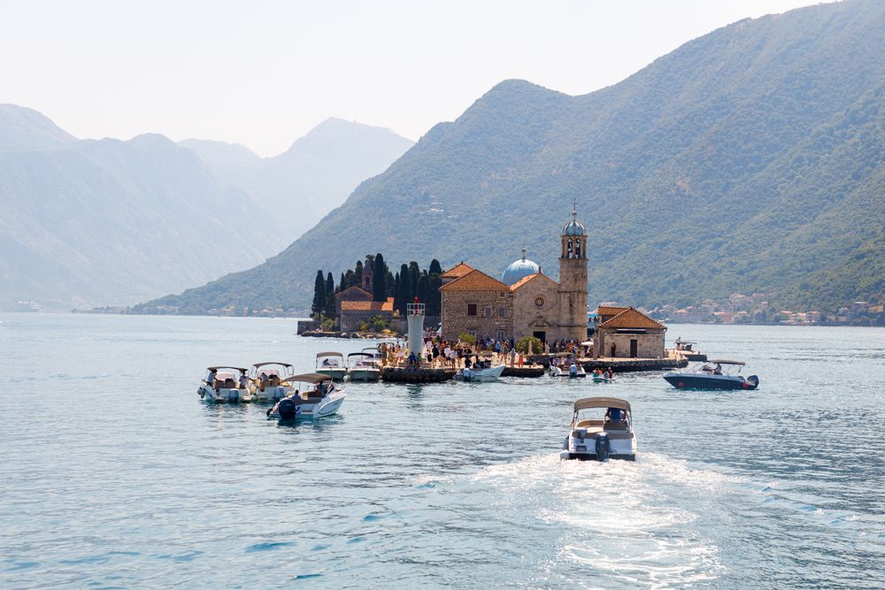
A man-made islet built up from rocks and scuttled ships, holding a church begun in 1630 with ceiling paintings by Tripo Kokolja and a…
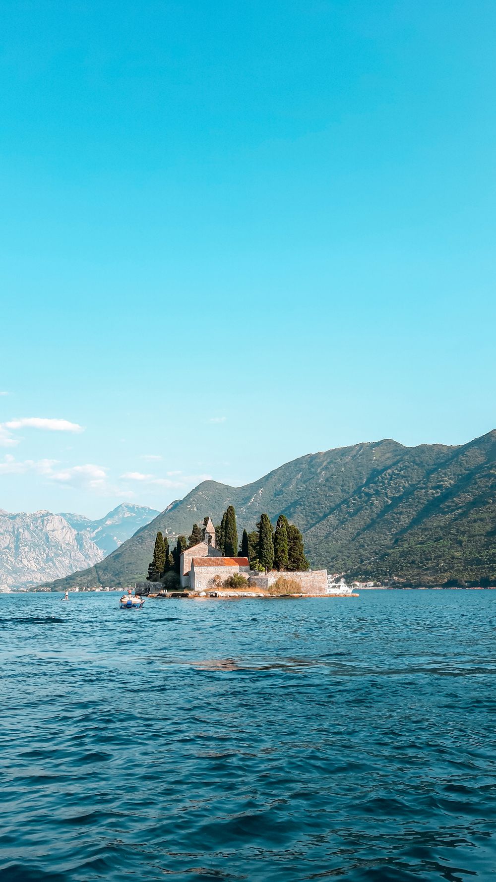
Boats out of Perast pass it on the way to Our Lady of the Rocks. Sveti Đorđe is the natural island of the pair, carrying a Benedictine…
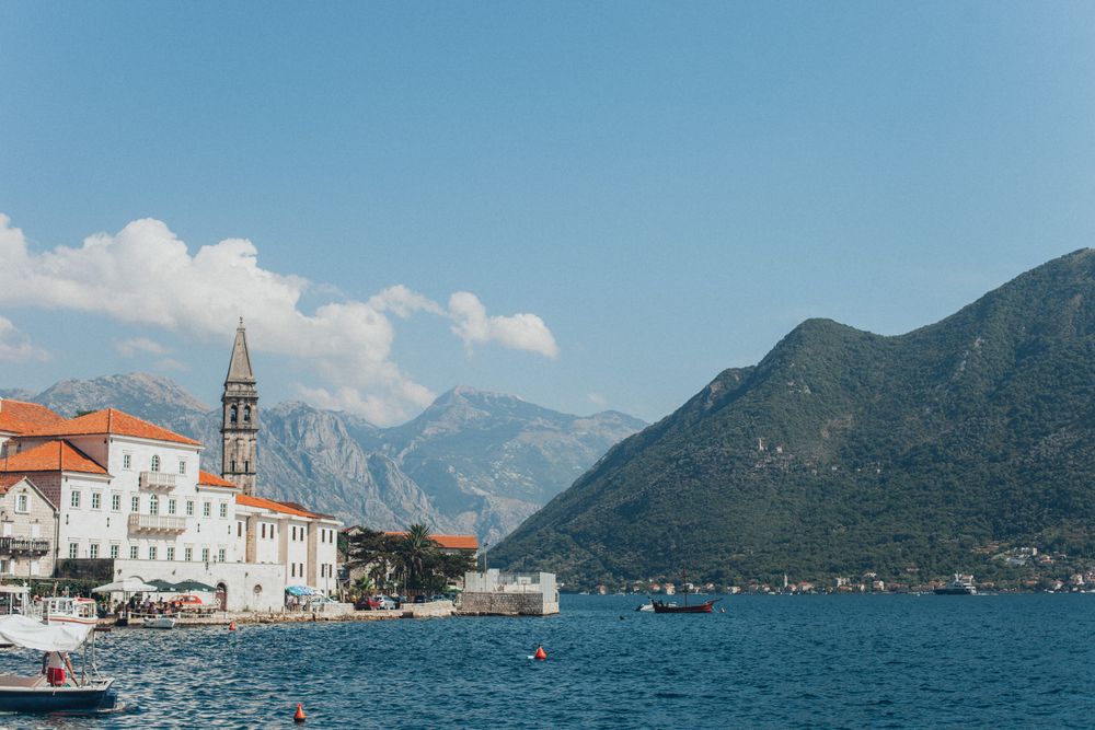
A five-star hotel in a restored 18th-century palace on the Perast waterfront. Breakfast is served in the Panoramic restaurant over the bay,…
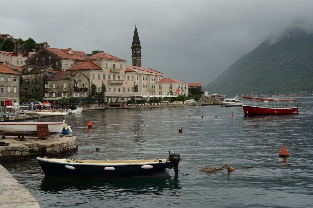
A single baroque street facing the narrows of the bay, built on the wealth of sea captains who once sailed for Venice. Stone palaces and…
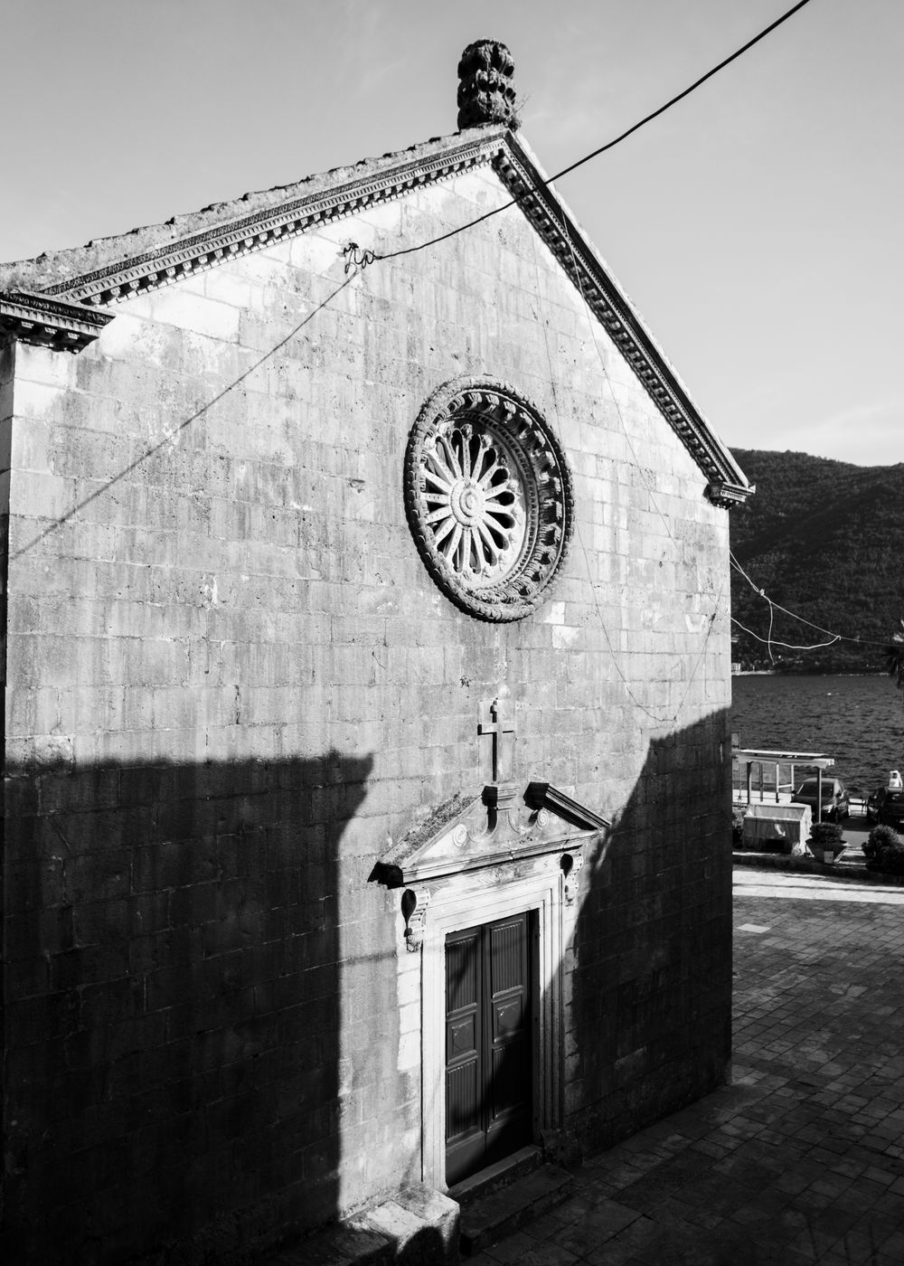
A Baroque parish church built in the 17th century and overlooking Perast's waterfront; notable for its bell tower and views across the Bay…
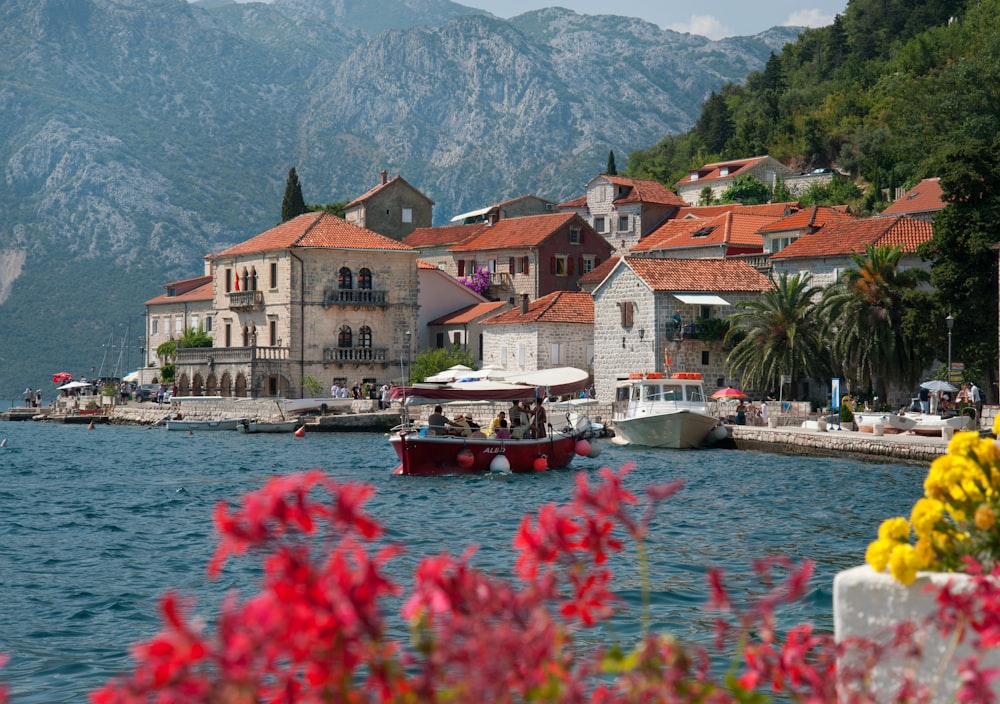
Perast contains some 17 baroque and Renaissance palaces built between the 16th and 18th centuries by wealthy sea captains and merchants.…
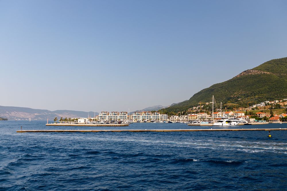
Tivat is the arrival town for the Bay of Kotor, with the international airport on its edge. Porto Montenegro, the superyacht marina, holds…
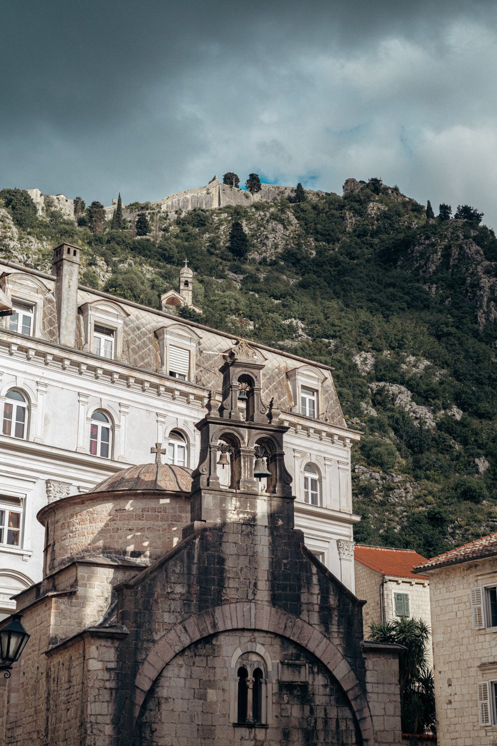
A small Romanesque church on St Luke’s Square in the old town of Kotor, with a dome over a single nave and a floor laid with tomb slabs. It…




Save Bay of Kotor to your Montenegro trip in the Meridian Dispatch app and build the day around it, with the best of Kotor pinned on one map.
Download on the App StoreLast updated