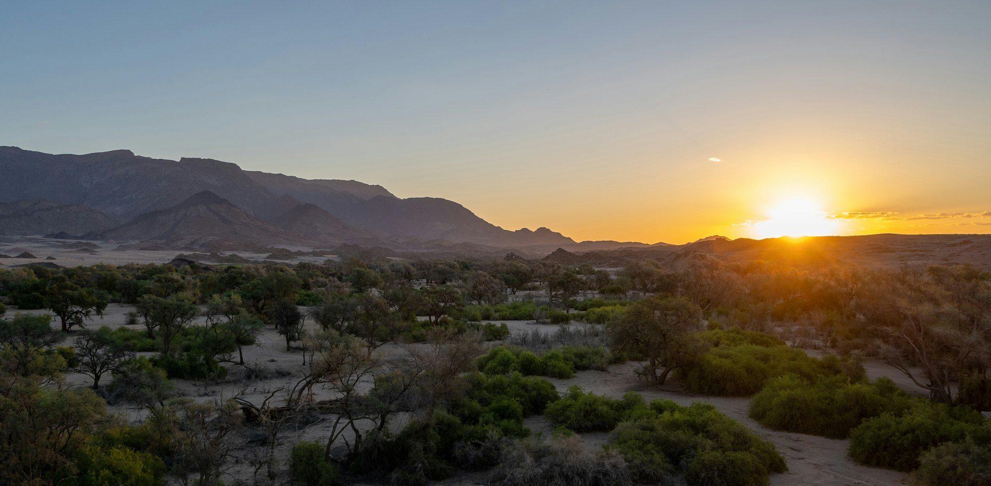
 Submit a photo
Ninety seconds on Brandberg
Its summit, Königstein, stands at 2,573 metres, or 8,442 feet, and is Namibia's top summit. The massif is one block of granite across about 650 square km of desert, a single mountain rather than a range.
In the west of Namibia, roughly 30 km from Uis, the nearest settlement. The last stretch to the White Lady car park is gravel, and the Uis information centre is the place to ask about the mountain, the roads to it and the guided walks to the painted shelters.
Only with an official guide. The route climbs the Tsisab gorge by foot. The walk takes about 45 minutes to an hour each way over rough, bouldery ground, so the round trip with time at the painting fills most of a morning. Guided walks to the San paintings, the White Lady among them, are also arranged through the information centre in Uis.
Yes. The core of the mountain, an area of about 450 square km, was declared a National Monument in 1951. Visitors now need a local guide throughout, and any hike or camp beyond the White Lady walk requires written permission from the heritage body's Windhoek office.
More than 45,000, in more than 1,000 rock shelters in the Tsisab ravine. The White Lady is the best known. The same permit also takes in the White Giraffe and Jochman shelters lower down.
45 minutes on foot up a dry granite gorge takes you to the White Lady, the best known painting on Namibia's highest mountain. Under a rock overhang, a line of human figures and animals crosses the wall, and some of the figures have antelope features.
The Brandberg is a single granite massif that rises more than 2,000 metres above the Namib plain, and from space it is one of the most eye-catching circular shapes on Earth. Its weathered granite turns reddish, which is why its German name means burning mountain. Königstein, the summit, is the highest point in Namibia at 2,573 metres.
The ravines hold about 45,000 rock paintings in some 1,000 shelters and caves, and the White Lady in the Tsisab ravine is the most famous of them. It is a scene rather than a portrait: several people and oryx move across the rock, painted with pigments made from animal blood, charcoal and ground sandstone. Excavations at the site show the figures are of local origin.
The pale central figure is not a woman at all. An early reading took it for a young Cretan girl dressed as a bull jumper, which is where the name came from; today it and its neighbour are read as male, a shaman or healer. Look past the centre for the details: three figures in trance, an oryx with human legs and people with antelope features.
Drive to the ticket office, pay the fee at the information office and you are paired with a guide there, with no booking needed. From the office you follow the guide on foot up the Tsisab riverbed, picking a way over boulders and smooth granite. The guide stops along the way to explain the trees, the plants and the geology.
The path ends at Maack Shelter, an overhang where you view the panel from a small platform behind two metal bars. Bags and bottles stay behind before this last stretch, because drinks have been poured over the painting in the past, so drink on the way up.
Ask at the office about the other painted shelters of the lower gorge. The White Giraffe cave and the Jochman paintings are included in the same permit.
There is no unguided option: the mountain is closed to anyone without a local guide, and the guides who lead the White Lady walk grew up and live in the area.
A summit of Königstein is a separate trip, and it needs a letter of permission from the National Heritage Council and a guide supplied with it. Plan on at least two days, with a first night at a natural campsite at 2,000 metres after about seven hours of hiking.
The riverbed is almost flat, so water matters more than fitness: carry plenty, with something salty to eat, and wear walking shoes, a hat, sunglasses and a light long-sleeved shirt against the sun. A telephoto lens helps for photographs.
If you go for the summit, walk on past the trig pillar: the true high point of Königstein is a boulder about 60 metres south of it.
Uis, and further afield
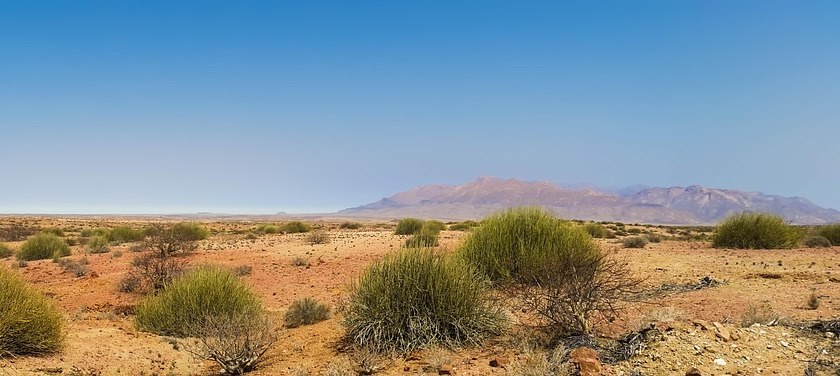
Halfway between Henties Bay and Khorixas, this old tin-mining settlement is the gateway to the Brandberg and the supply stop on the road…
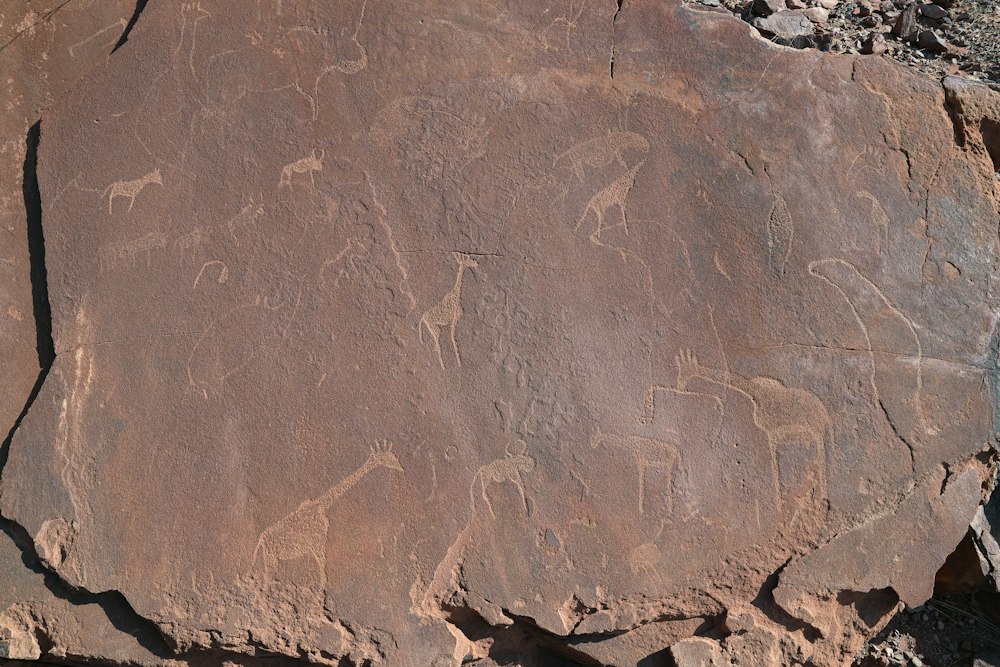
Hunter gatherers cut animals, spoor and geometric figures into the slabs above a spring over a period running to several thousand years,…
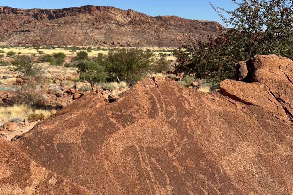
More than two thousand engravings are cut into the sandstone slabs of a valley here, and the site became Namibia's first World Heritage…
Diogo Cão landed on this headland in 1486 and raised a stone cross, later removed to Berlin, with replicas standing in its place today. The…
A massif of bald granite peaks on open gravel plains, with a community campsite at its foot, a natural rock arch and San rock paintings…
A community-run open-air museum near the Twyfelfontein engravings, where Damara men and women show fire-making, blacksmithing, plant…
Granite domes stand some seven hundred metres above the gravel plain here, worked into arches and stacked boulders by a very long spell of…
Last updated