Globe Countries Cities Itineraries World's Best Hotels Events Login
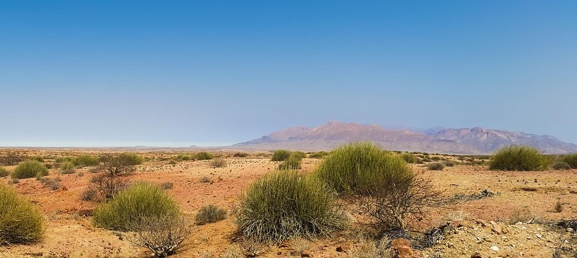
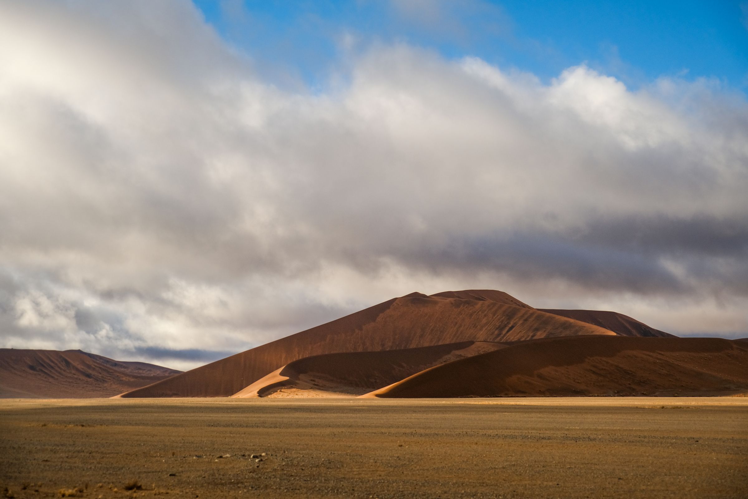
A flat gravel plain with low green bushes in front and the long reddish-violet block of the Brandberg on the horizon under a clear blue sky
The Brandberg, about 30 kilometres northwest of town
Town brief · 21.2208°S 14.8709°E

Uis

With a bed in Uis you are close enough to the Brandberg for a dawn drive to the White Lady trailhead, and a second night leaves a morning for the desert-adapted elephants of the Ugab.

View on globe

Why you should go

Ninety seconds on Uis

How long
Two nightsone morning on the White Lady trail, one in the Ugab riverbed
Getting around
Your own car, ideally a 4x4gravel roads and sandy tracks near the mountain
When
July to Octoberdry season; November to March is too hot for walking
Language
Englishthe official language of Namibia
Money
Namibian dollarthe South African rand is listed alongside it
Airports
Windhoek WDHnearest international airport; Walvis Bay WVB on the coast
How long

How many days do you need in Uis?

Two nights. One morning goes to the guided walk to the White Lady and the second to a drive in the Ugab riverbed for desert-adapted elephants. A climb of the Königstein adds three days on the mountain.

Getting around

Do you need a 4x4 around Uis?

A car is essential, and a 4x4 is the safe choice on the gravel roads and sandy tracks. The White Lady trailhead is reached by driving 14 kilometres north on the C35, then 28 kilometres on the D2359. Between Uis and Khorixas the C35 crosses three dry riverbeds, the Ugab, the Aba Huab and the Huab, which can flood after heavy rain.

When

When is the best time to visit Uis?

July to October, the heart of the dry season, when elephants are found along the rivers and July days peak around 28°C. November is the hottest month, with highs in the mid thirties, and walking is not recommended from November to March.

Language

What language is spoken in Uis?

English, the official language of Namibia.

Money

What currency is used in Uis?

The Namibian dollar, with the South African rand listed alongside it as a second currency. The White Lady trailhead charges an entrance fee and the guides are paid in cash, so carry enough cash for the fee, the guide and any Brandberg permit.

Airports

Which airport is closest to Uis?

Windhoek's Hosea Kutako International, WDH, 45 kilometres east of the capital, is the nearest international airport. Walvis Bay, WVB, lies about 15 kilometres east of the town of Walvis Bay on the coast. From the coast, the C35 to Uis starts about 6 kilometres north of Henties Bay, which is 72 kilometres north of Swakopmund.

Make the White Lady walk the first job of the day, because by late morning the ravine is hot and almost shadeless. Back in town by lunch, keep the middle of the day for shade and Daureb Crafts, which sells local frames, candles and prints from two signposted outlets: one on the Khorixas road out of town, one in the old mine buildings.

The second reason to stay is the desert-adapted elephants of the Ugab, Huab and Aba Huab riverbeds. Brandberg White Lady Lodge runs guided drives along the Ugab, and Uis Elephant Guesthouse runs three to four hour drives toward the Brandberg, morning or afternoon. The herds move with the seasons, and a tracker finds them far more often than a search from the road.

In town, Brandberg Rest Camp fills the old mine casino, a short walk from the fuel station and the shops. Out on the Ugab, Brandberg White Lady Lodge sends its elephant drives along the river, and Elephant-Human Relations Aid (EHRA) runs eco campsites on the same riverbed northwest of Uis. A Königstein climb must go with a guide provided by the heritage council.

From the coast, drive north from Swakopmund to Henties Bay and turn inland on the C35, a gravel road still due to be tarred. From Windhoek, the C36 comes in by way of Omaruru and is unpaved apart from a stretch around Omaruru and the last few kilometres into Uis. Fill the tank in Uis before driving on toward the mountain or Khorixas.

From November to March, summer days often pass 40°C, and the trailhead opens at eight in the morning. The rains peak in February, when floods can cut off the White Lady path and the elephant drives. A full flood on the Ugab can wash out the lodge road, and repairs can take months.

Things to do

5
  1. Brandberg

    Brandberg

    Landmark · 2.5 hr

    45 minutes on foot up a dry granite gorge takes you to the White Lady, the best known painting on Namibia's highest mountain. Under a rock overhang, a line of human figures and oryx crosses the wall, and some of the figures have antelope features.

    View more →
  2. Brandberg Rest Camp

    Hotel

    The old mine casino in the centre of Uis now holds rooms and a campsite whose pitches have power, a light and their own outside toilet and shower. A bar, a restaurant and a pool are on site, and the shops and the fuel station are close by. The camp also sells the permits needed for hiking on the Brandberg.

  3. Brandberg White Lady Lodge

    Hotel

    On the bank of the dry Ugab, about 30 kilometres northwest of Uis, basic chalets and campsites sit under camel thorn trees with the Brandberg behind. Desert-adapted elephants live along the riverbed, where water surfaces in pools through much of the dry season, and the lodge's guided drives go out along the river early in the morning to find them. The access road is rough and corrugated.

  4. Uis Tin Mine

    Other · 1.5 hr

    White spoil dumps on the edge of town, plain from the road and from the streets of Uis, are the waste of what was once the largest hard-rock tin mine in the world. The mine is working again, producing tin and tantalum with expansion under way, and the plant beyond the dumps is a working industrial site, seen from the road.

  5. White Lady Rock Painting

    Archaeological Site · 3 hr

    Every walk to the painting goes with a guide accredited by the National Heritage Council, assigned at the Tsisab trailhead on arrival. Walks leave daily from eight until mid-afternoon up a boulder-strewn ravine; allow two to three hours for the round trip and carry water. Bags and bottles are not allowed at the painting itself, because visitors have poured drinks over it in the past.
Basemap Meridian · data © OpenStreetMap
Explore

More of Namibia

Namibia
Country

Namibia

Every Namibia town, place and dispatch, on one map.

Spitzkoppe
Town

Spitzkoppe

Groot Spitzkoppe
Landmark · Spitzkoppe

Groot Spitzkoppe

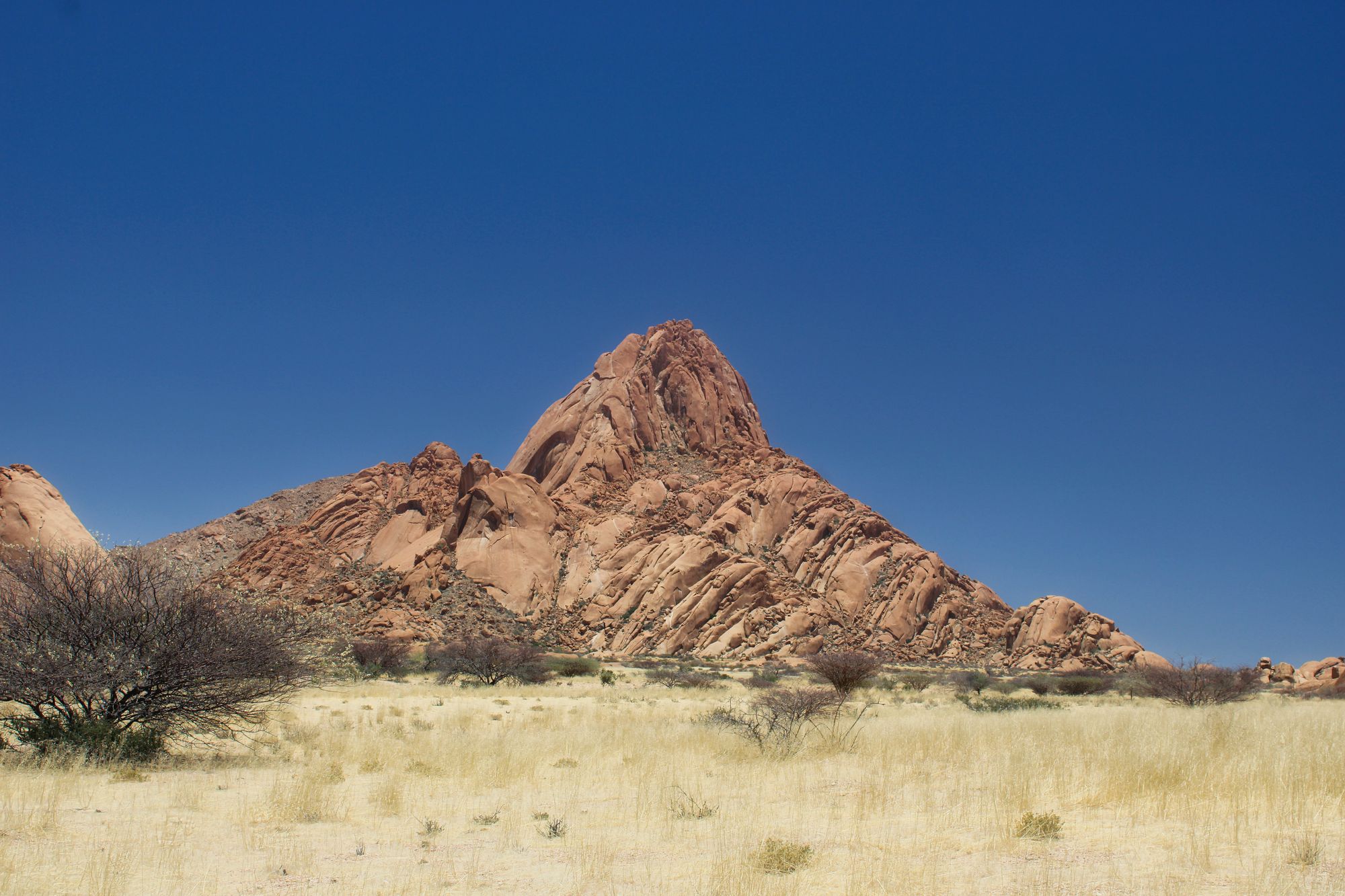
Groot Spitzkoppe's bare granite rises about 700 metres straight out of a flat gravel plain.

Twyfelfontein
Town

Twyfelfontein

Twyfelfontein Rock Engravings
Archaeological Site · Twyfelfontein

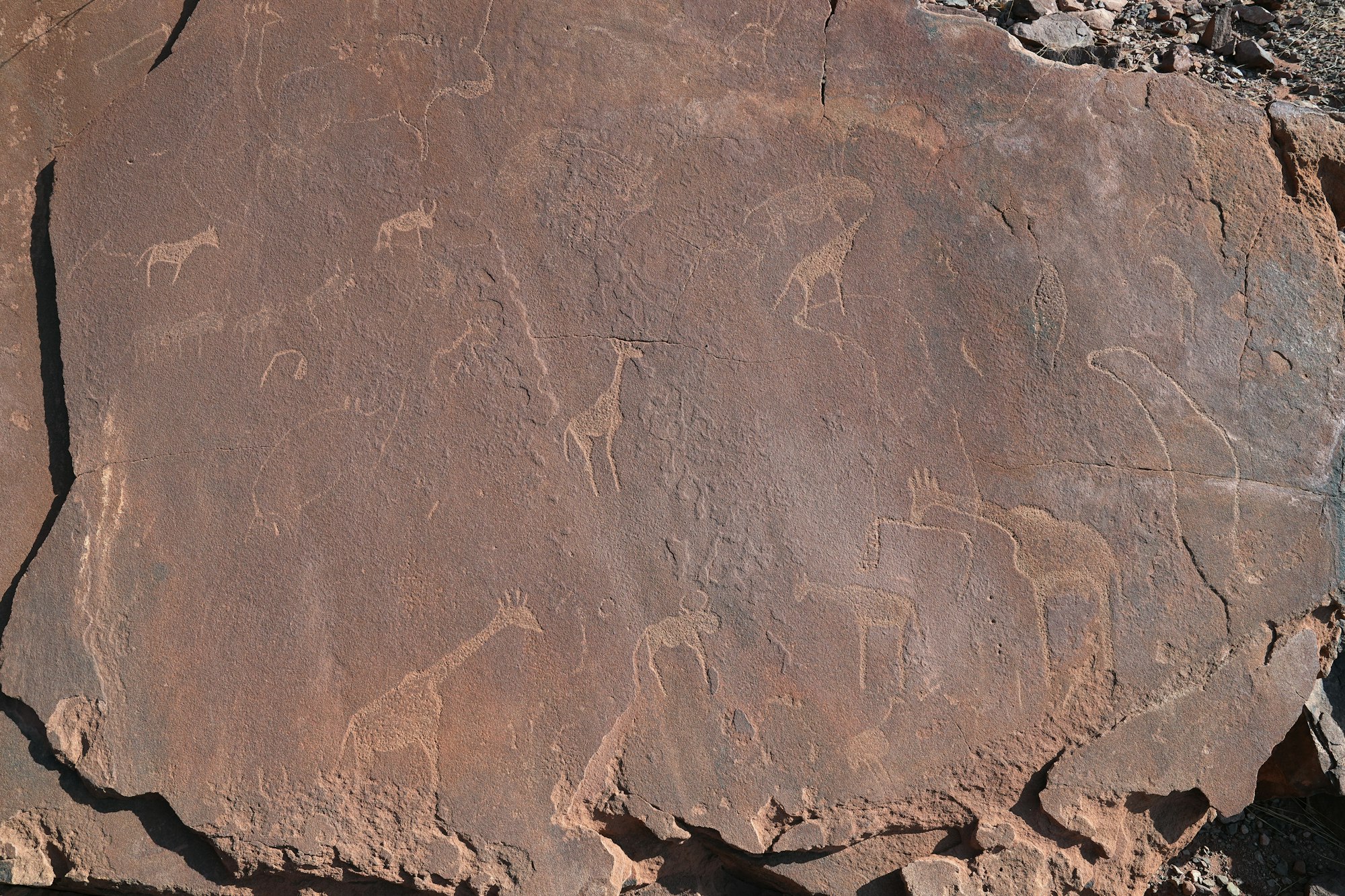
Twyfelfontein Rock Engravings

Sources 3

The official pages this guide was checked against.

Last updated