 Submit a photo
Ninety seconds on Ireland Island
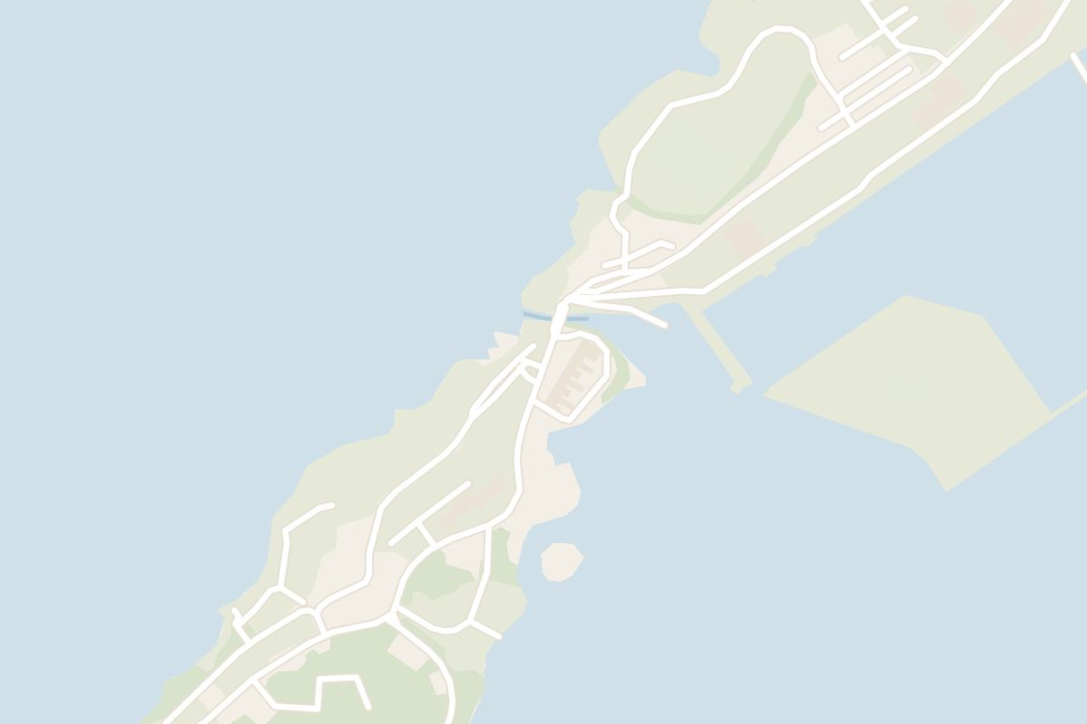
Walk out of the Dockyard along Malabar Road for the calmest two hours at this end of Bermuda: a naval cemetery in a sheltered valley, and a mangrove park where herons and egrets roost.
The Royal Naval Cemetery, known locally as the Glade, comes up on the left. Rows of small headstones stand among marble obelisks and tombs, many from the yellow fever years, with burials from both world wars.
Next door, Lagoon Park wraps round a mangrove pool. A small bridge looks over the lagoon on one side and out to Hospital Island on the other, and paths lead on to Parsons Bay, the park's one small beach, and the rocky shore of Lodge Point.
Back inside the Dockyard walls, Maritime Lane is a flat loop of about 500 metres around the high-walled Victualling Yard, the Navy's old supply store.
Explore the rest of Royal Naval Dockyard
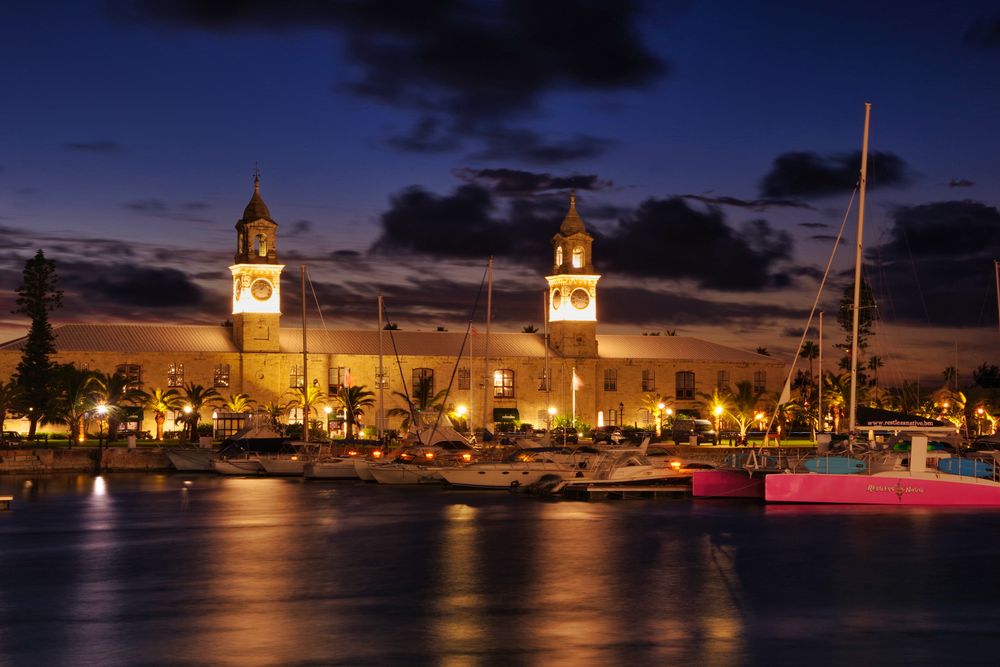
The Navy's great storehouse of 1856, its twin towers holding a clock and a tide dial, converted into an arcade of shops along the original…
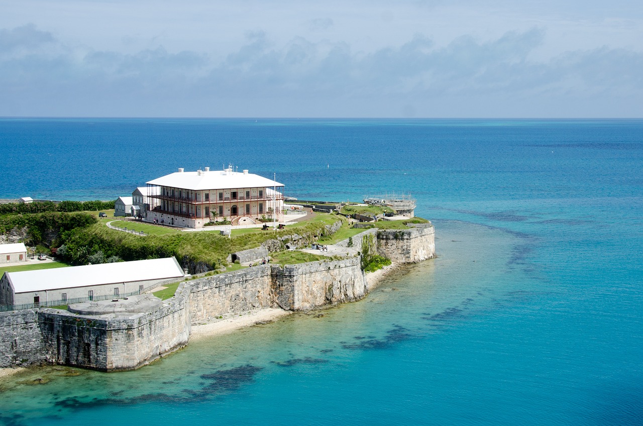
The island's largest museum, held inside the Keep, the fortified upper end of the Dockyard the Royal Navy built to guard its stores.…
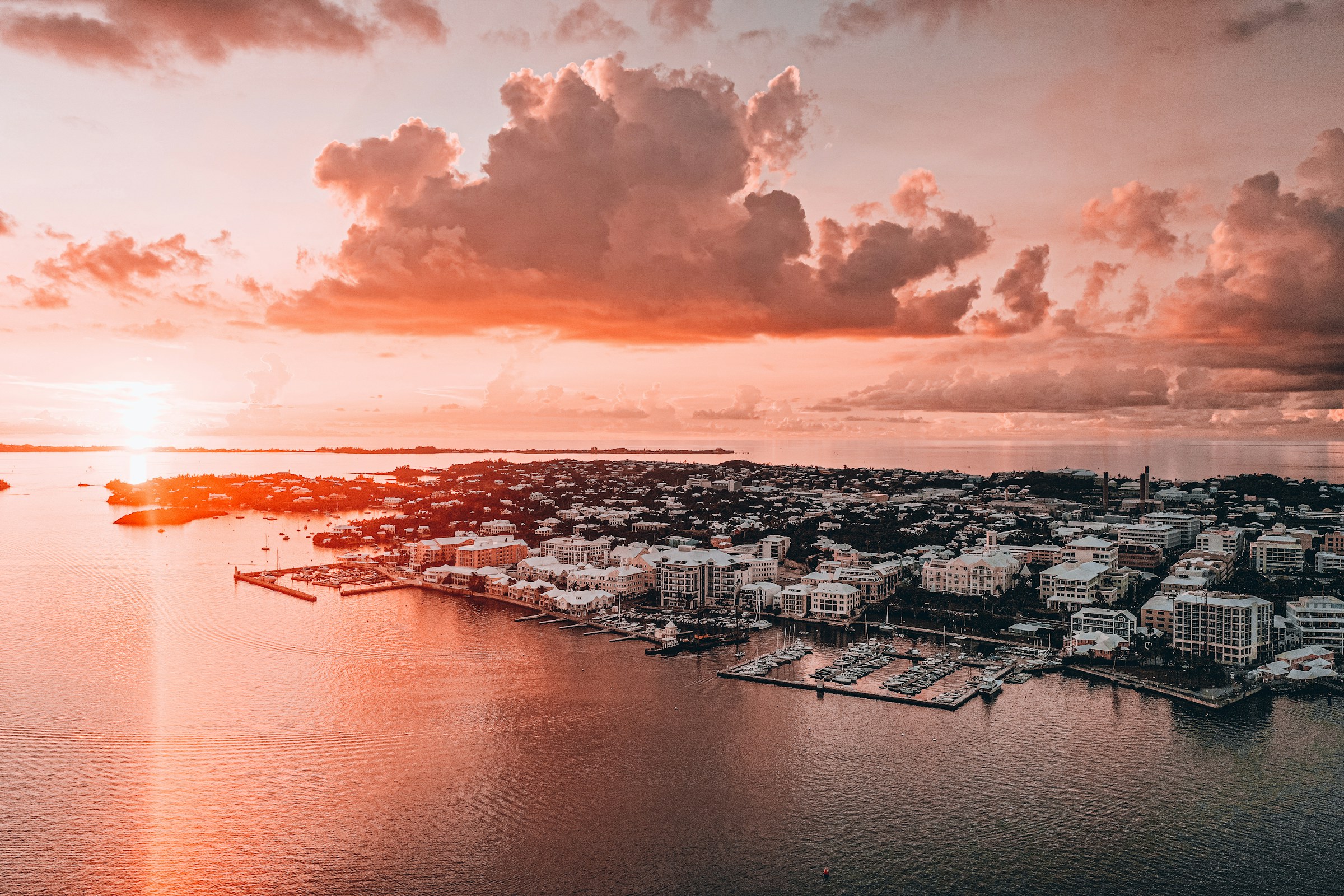
Bermuda's capital, and its only city, is a working harbour town of pastel commercial buildings strung along Front Street. It holds the…
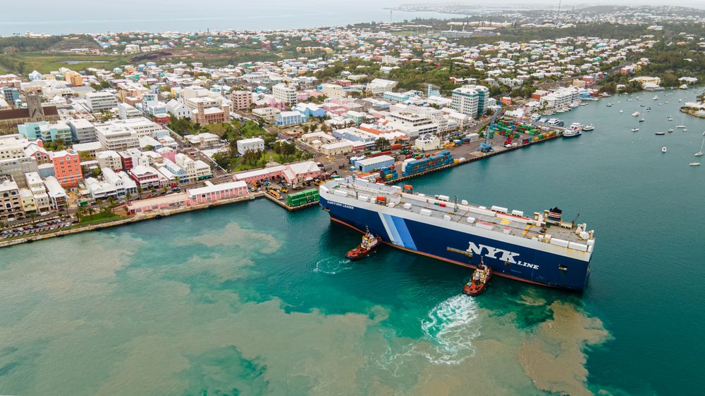
Hamilton's harbourfront main street, lined with pastel two storey Victorian and Edwardian merchant buildings with wrought iron verandas,…
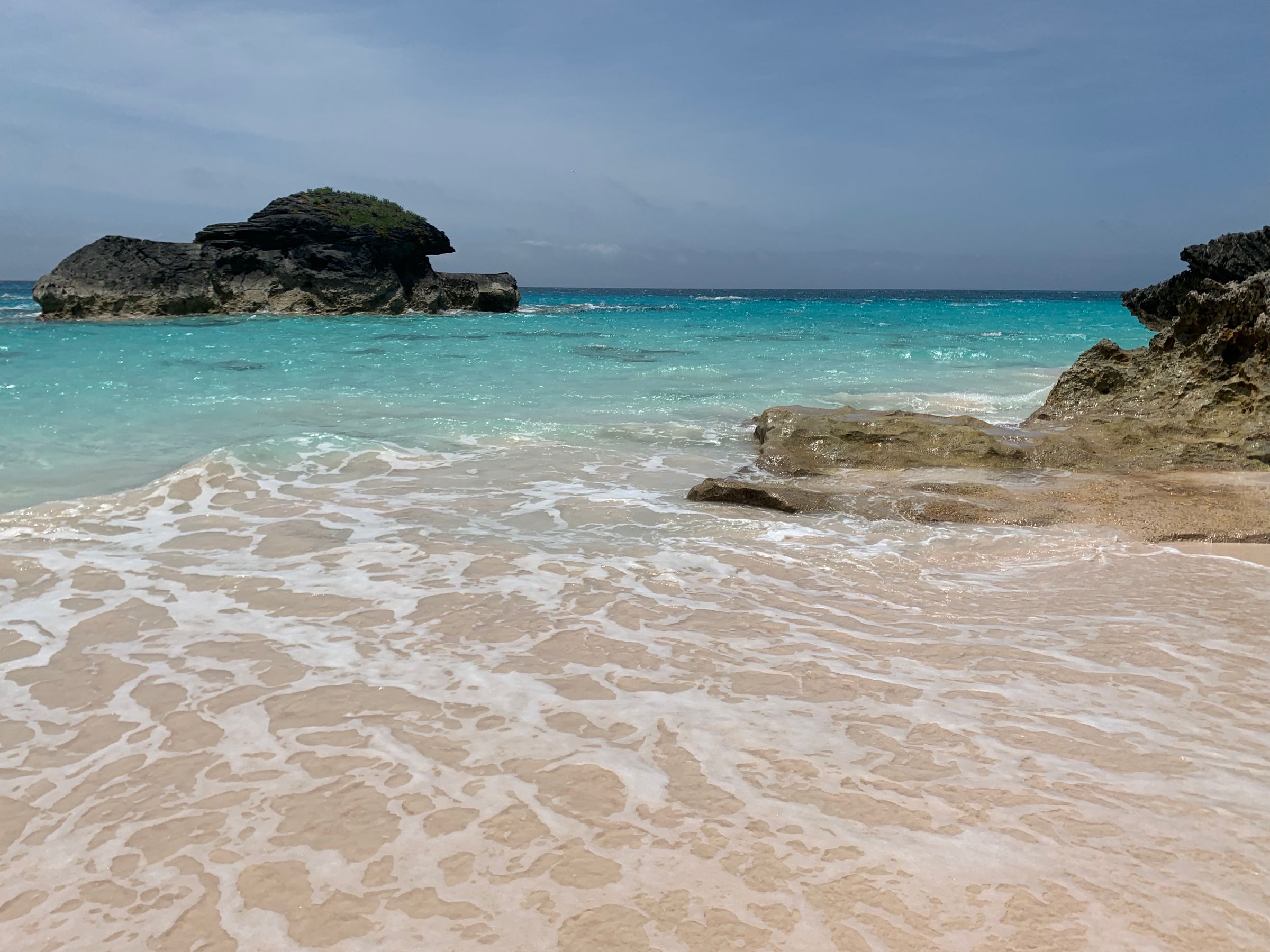
Southampton holds the south shore beaches Bermuda is photographed for and the lighthouse on Gibbs Hill, at the narrow waist of the island…
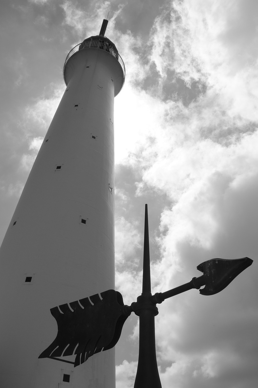
A working cast iron lighthouse on Gibbs Hill above the South Shore, one of the few lighthouses anywhere built of iron. A narrow spiral…
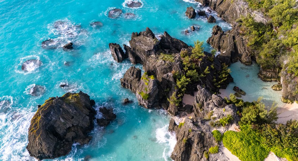
A coastal nature reserve on the south shore, running from Horseshoe Bay east to Warwick Long Bay. A sandy trail links the two beneath…
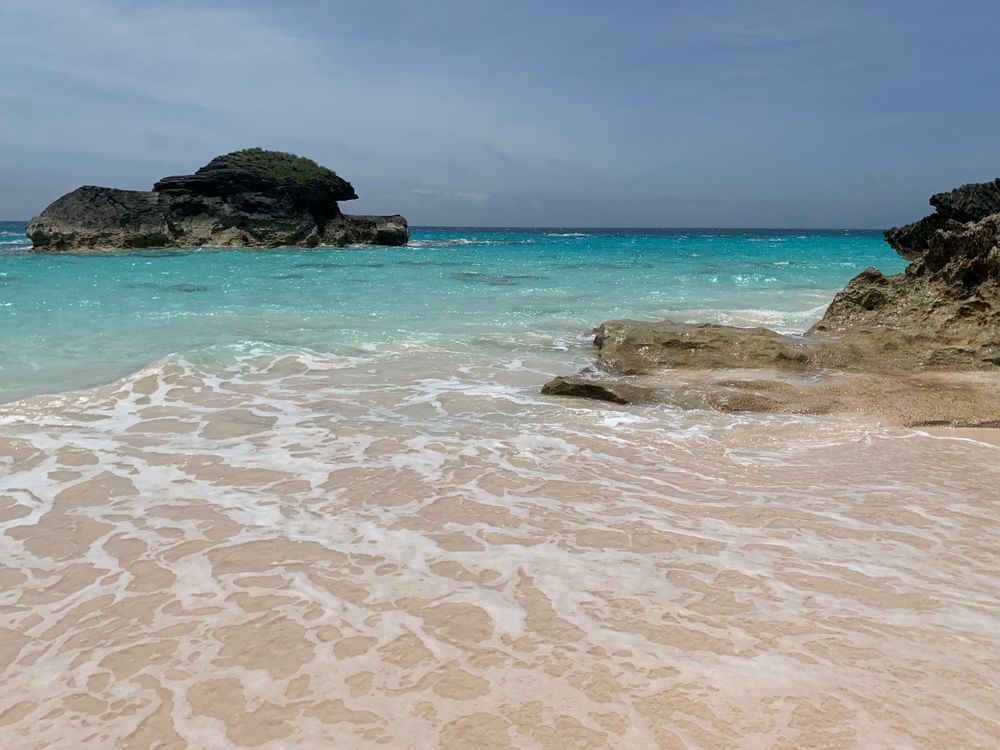
A deep crescent of pink tinted sand on the South Shore, run as a public park and open from sunrise to sunset. Lifeguards watch the main…
Last updated