Things to do
8-
Glenveagh National Park
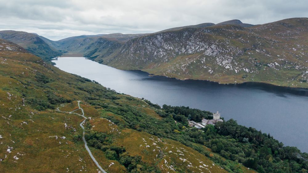
Sixteen thousand hectares of mountain, bog and lake, one of the largest national parks in the state, with a Victorian castle on the shore of Lough Veagh and gardens planted in a frost pocket that grow tender species. Golden eagles were reintroduced here in 2001.
-
Ards Forest Park
Woodland running down to the sand flats of Sheephaven Bay with waymarked loops, salt marsh, dunes and four beaches inside the park. It holds ring forts and a mass rock and is the most varied short walk in north Donegal.
-
Doe Castle
A MacSweeney tower house of the early sixteenth century on a spit in Sheephaven Bay, moated on the landward side and surrounded by water on the other three. It was a landing point for Scottish mercenaries and is free to walk around.
-
Errigal
A quartzite cone of seven hundred and fifty-one metres, the highest in Donegal, whose scree slopes turn pink at sunset and whose summit narrows to a short ridge between two tops. The path from the R251 is eroded and the last section is loose rock.
-
Horn Head
A quartzite headland whose northern face drops close to two hundred metres straight into the sea, circled by a narrow road with pull-ins and walked out to on open ground. Fulmars and razorbills nest on the face and the Tory Island light is visible on a clear day.
-
Killahoey Beach
A long sandy strand in front of the village with Horn Head at one end and the Muckish mountain behind, Blue Flag and lifeguarded in season. It is safe for swimming, which is not true of every beach on this coast.
-
Poisoned Glen
A U-shaped valley under Errigal walled by granite slabs, with a ruined church at its mouth and a name that comes from a mistranslation of the Irish for heavenly. The ground in the glen is wet and there is no made path.
-
Tory Island
An island eleven kilometres offshore with about a hundred and forty residents, a school of primitive painters and a round tower. It elected its own king until the last of them died in 2018 and no successor was chosen. The ferry runs from Magheroarty and is cancelled often in winter.