
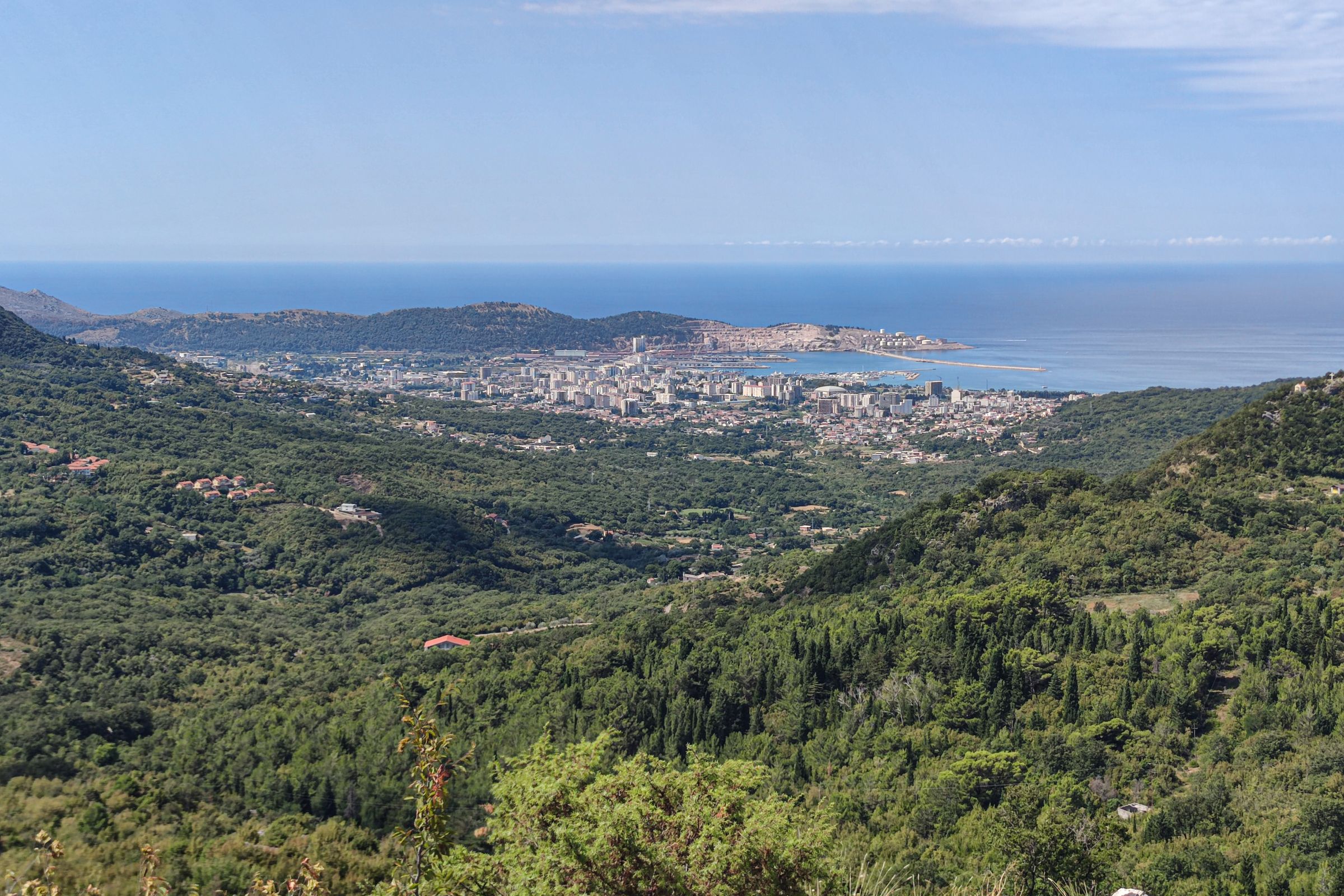
Climb the mountain behind Bar for one of the few summits in the region where Lake Skadar and the Adriatic are in view at the same time, the lake to the north and the open sea to the south.
Viewpoint, Bar. Meridian Dispatch.
The 4 km path climbs from a plateau at 964 metres to the 1,594 metre summit. The gentler choice is the 5.1 km route from Gornja Briska in Šestani, graded medium. Neither route is a technical climb, though the last stretch is steep and rocky.
No. The routes to the summit are marked trails on the Bar tourist board's hiking map, Hiking Between Two Magical Shores. The map can be downloaded from the brochures page of bar.travel, the board's own website.
On Trinity Day, the Orthodox Pentecost, every year. In recent years the procession has set off with the Cross of St Jovan Vladimir from the Church of St Nicholas in Mikulići at one in the morning, reaching the top for a five o'clock liturgy. The parish of Bar has published the programme on mitropolija.com.
The trailhead plateau is a 9.4 km drive from Bar through the villages of Velembusi and Baltina, on asphalt as far as Baltina and gravel after. The longer route climbs from Stari Bar up the mountain's western shoulder, past some of the oldest and most extensive olive groves in Montenegro. Tuđemili, about 15 minutes from Bar by car, is a third start.
Take the panoramic road from Virpazar towards Bar, over the hills past Sutorman and Tuđemili. Beyond Tuđemili, a secondary road of about 15 km runs down to Stari Bar, with a turning on the way for Dobri Do and the trailhead.
At least 2 to 3 litres of water per person, because the mountain has no reliable water source, plus sun protection, sturdy hiking boots and food for the day. Warm layers matter too, because the summit can be around 15°C cooler than the coast.
Rumija is the high point of Montenegro's coastal range, at 1,594 metres. The view from the top also takes in the old town of Stari Bar below and the Albanian Alps on the horizon.
On a clear day the panorama runs on across Montenegro to Lovćen, the Komovi and the high peaks of Durmitor National Park. To the south it follows Lisinj, the southern ridge of Rumija, towards the Bojana river and the Albanian border.
The Church of the Holy Trinity on the summit was destroyed in 1571 and rebuilt in 2005, from stones that pilgrims had carried up one at a time over the centuries between. Catholics and Muslims from around Bar traditionally join the Orthodox faithful on that yearly pilgrimage.
The marked 4 km route starts at Dobri Do, a plateau just below the summit. The Russian church there is the Monastery of St Sergius of Radonezh, and a path of stone and grass leaves the road a few hundred metres before it. Park at the roadside nearby.
The path climbs gently at first, through sparse forest. Above the trees it turns to steeper rocky ground, and the last few hundred metres to the summit church are the hardest of the climb, but they are short.
For company on the walk, time the climb with the monthly liturgy in the summit church, which the parish priest of Bar has served there once a month for years. Ask at the Church of St Jovan Vladimir in Bar for the next date and how the parish travels up to it.
Spend the day in the roofless lanes of Stari Bar on the hill, then come down to the sea for the painted rooms of King Nikola's Palace and an evening swim at Šušanj.
Read the Bar guideExplore the rest of Bar
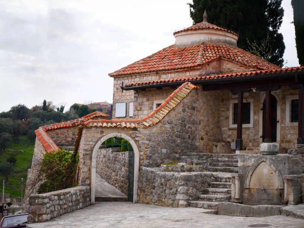
The walled hilltop town above modern Bar. The 1878 siege destroyed much of it, and its last residents moved to the coast after the 1979…
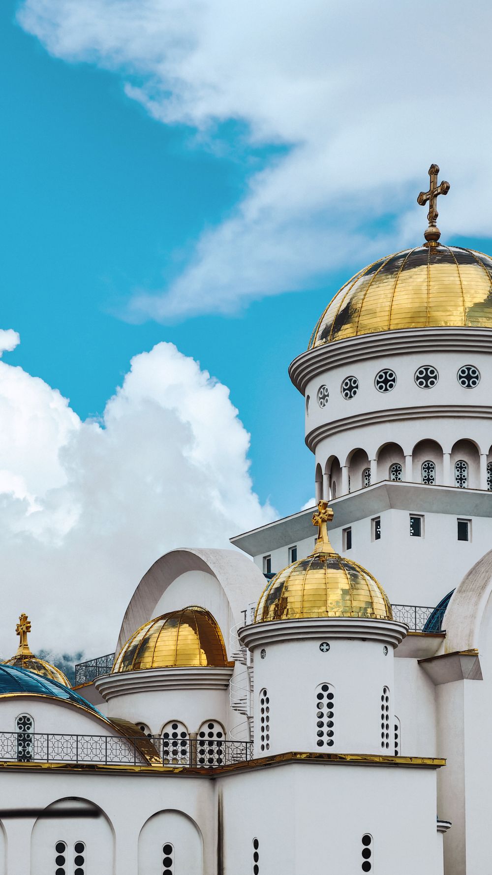
A large, new Orthodox church in the town centre, a few minutes' walk from King Nikola's Palace. Inside, it is far more colourful than the…
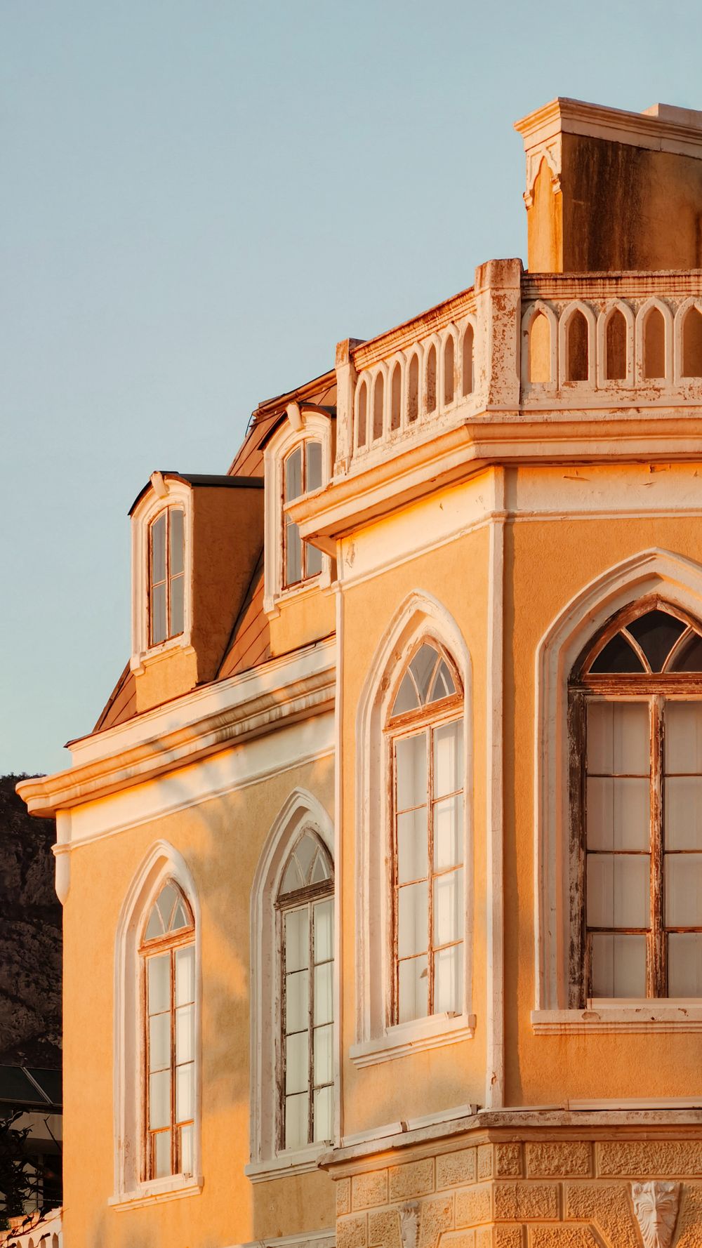
A seafront palace at Topolica, first recorded in 1885 and linked to the court architect Josip Slade. The museum that runs it says Prince…
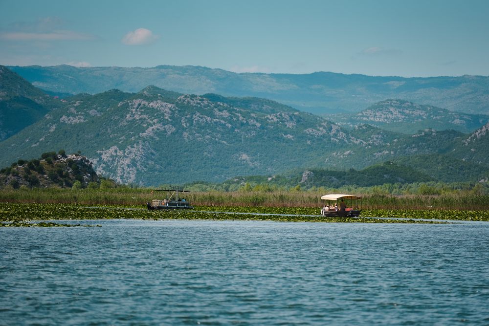
A lakeside settlement of about 300 people at the mouth of the Crmnica river, built around two stone bridges and the ruins of the…
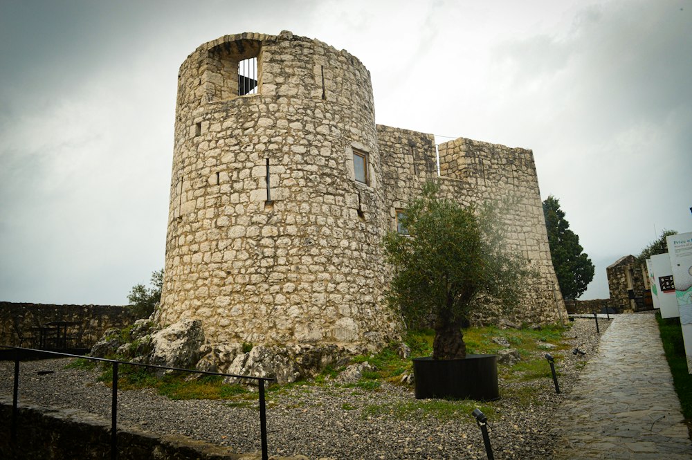
A small Ottoman fort built in 1478 on the hill directly above Virpazar, used to control the crossing at the southern end of Lake Skadar and…
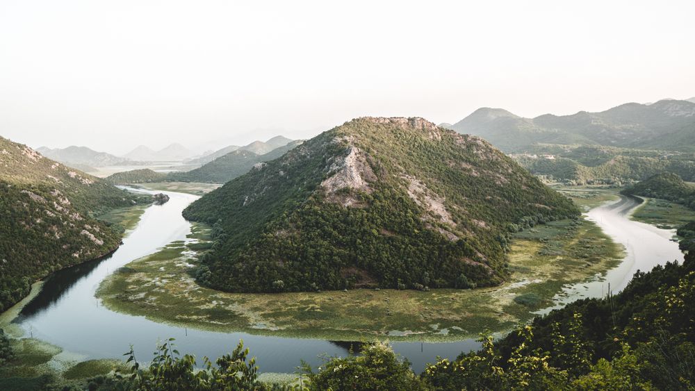

The largest lake in the Balkans by surface area, spreading from about 370 to 530 square kilometres between summer and winter, two thirds of…
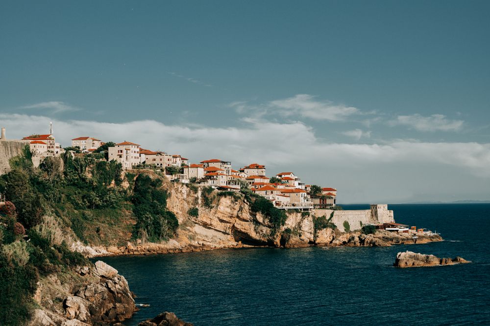
The southernmost town in Montenegro, majority Albanian speaking, with an old town on a rock above the sea that spent the sixteenth and…
Six hundred metres of sand below the town, a promenade along it, and two islets offshore, Katič and Sveta Neđelja. The sixteenth century…




Save Rumija to your Montenegro trip in the Meridian Dispatch app and build the day around it, with the best of Bar pinned on one map.
Download on the App StoreLast updated