
Walk the open cliff tops of west Gozo from Xlendi Bay to Fungus Rock in an afternoon, with the Inland Sea waiting at the end. It is six and a half kilometres one way, high above the sea for most of it.
Hike, Xlendi. Meridian Dispatch.
About 6.5 km one way along the cliff path, from the seafront at Xlendi to Dwejra Tower. It is a moderate walk with steep sections and rocky places, and most walkers allow two and a half to four hours with stops.
October to May, the walking season recommended in the official Dwejra Walk guide. The same guide advises a hat and sun protection all year round, since sun can bite even outside summer.
Yes, on the days it is open. A flag flying on the roof shows that the tower is open to visitors, according to the official walking guide for Dwejra.
Yes, in warm weather with a calm sea. The official guide describes the round bay below Fungus Rock as a deep swimming spot, reached by rock-cut steps just left of Dwejra Tower. It warns against going close to the shore along this exposed coast when the sea is rough.
No. The natural arch at Dwejra collapsed in stormy weather on 8 March 2017. The walk now passes the salt pans to the spot beside the Blue Hole where the Azure Window once stood.
The last few hundred metres loop round by the car-park road, which you can cut on the rock path.
A steep flight of steps at the far end of the Xlendi seafront carries the path up to the cliff tops. Look back from the top to Xlendi Tower, standing guard at the mouth of the bay.
The path then follows the cliffs west to Ras il-Wardija, a long headland that falls sheer to the sea. Near its tip lie the archaeological remains of a Punic sanctuary from the 4th or 3rd century BC.
From the headland the path turns north, and Fungus Rock comes into view: a limestone islet about 60 m high in the mouth of Dwejra Bay, now a strictly protected nature reserve where landing is forbidden. The route ends at Dwejra Tower, a restored watchtower on the low cliff facing the rock.
The rest of Dwejra is a short walk beyond the tower. The Inland Sea is a round pool of seawater joined to the open sea by a tunnel about 80 m long, and local fishermen run boat trips of about 20 minutes through it from the small jetty.
Nearby you can look down into the Blue Hole, a round pool in the rock used by divers, from the rocky ledge beside it. Keep back from the edge when the sea is rough.
The hardest climb comes first, out of the bay. Steps and a steep path take you from the seafront to about 130 m within the first 1.5 km.
After that the path rises and falls through several small dips, with the high point of about 148 m just past Ras il-Wardija. The last two kilometres run downhill along the cliffs to the tower, close to sea level.
Underfoot the path is often irregular and rocky in places.
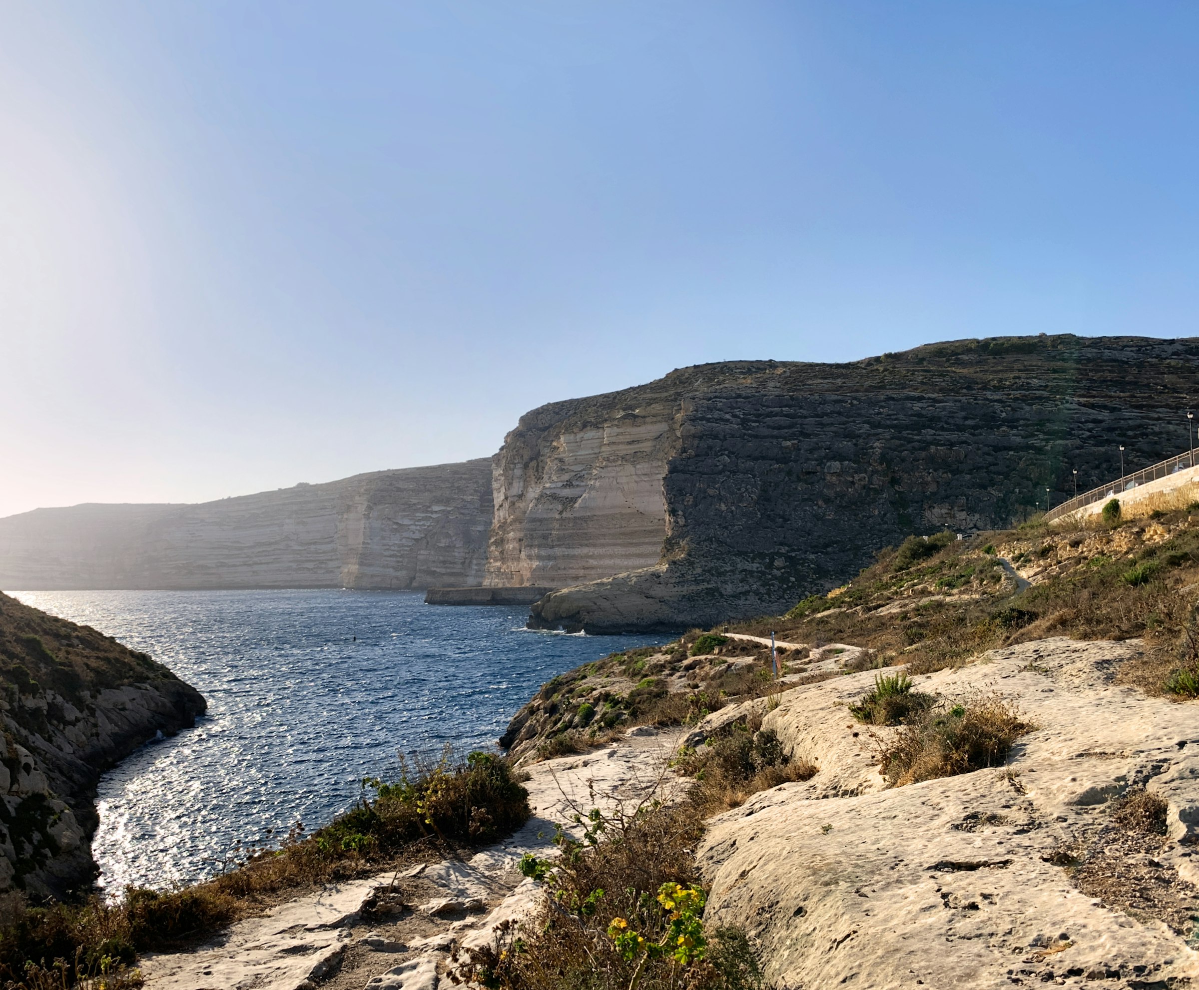
Swim off the rocks in a narrow bay walled by cliffs, walk out to the watchtower on the point, and eat on the waterfront after sunset.
Read the Xlendi guideEight more walks on Malta, Comino and Gozo
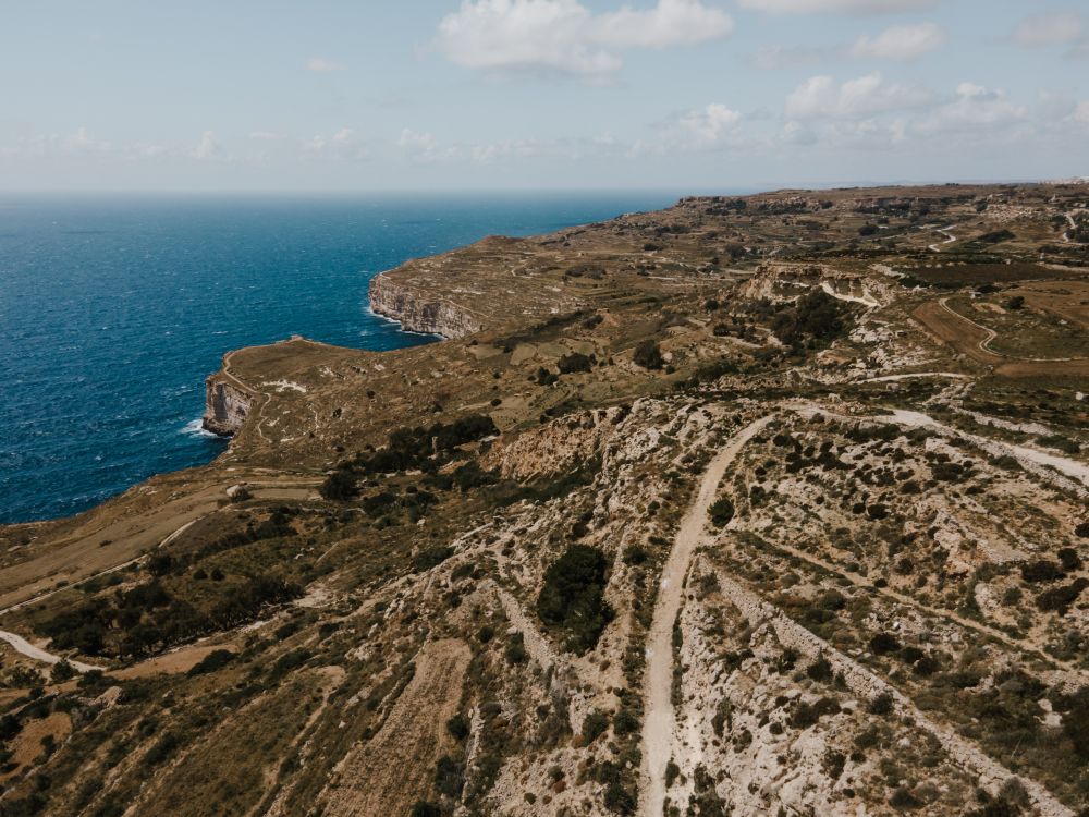
Malta's highest sea cliffs, from Dingli village to the chapel on the edge, then inland past the cart ruts to Buskett.
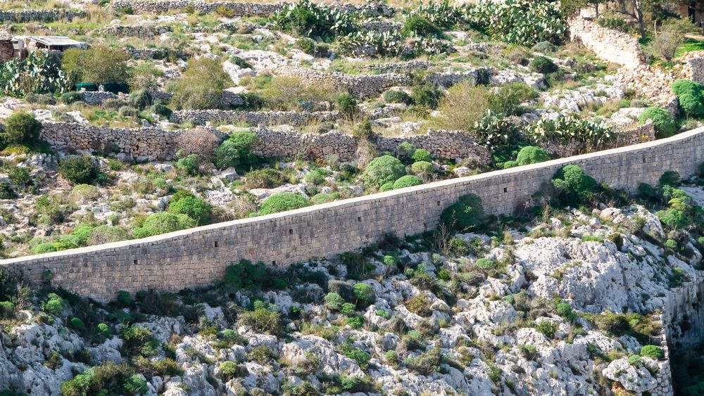
A walk along the old defensive wall that crosses Malta on its escarpment, with the north of the island spread below.
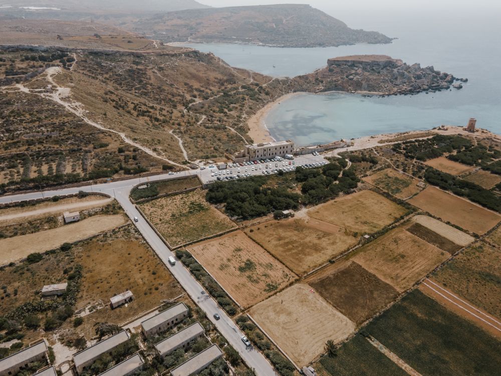
The protected cliffs above Golden Bay, walked north past two old towers and a swimming cove to Anchor Bay.
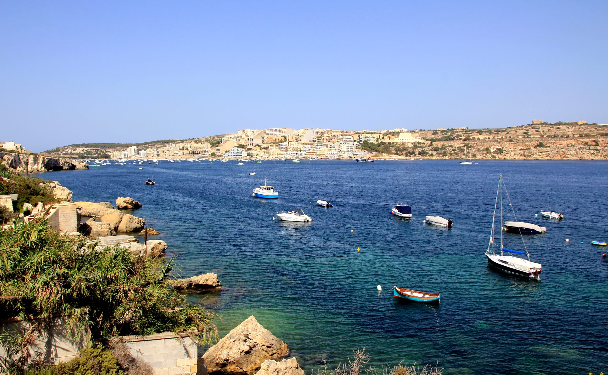
Two thousand years of Maltese country life on the low hill above Xemxija Bay, the sites a few minutes apart.
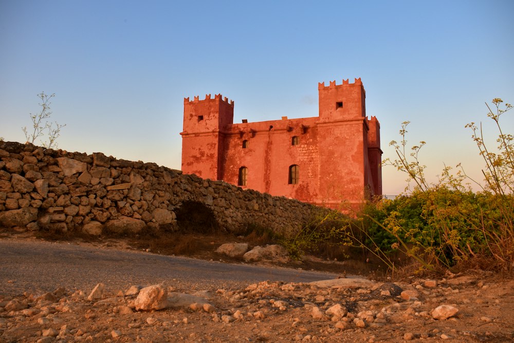
Round the whole Marfa peninsula from the Red Tower, with Comino and Gozo in view and a swim at Paradise Bay.
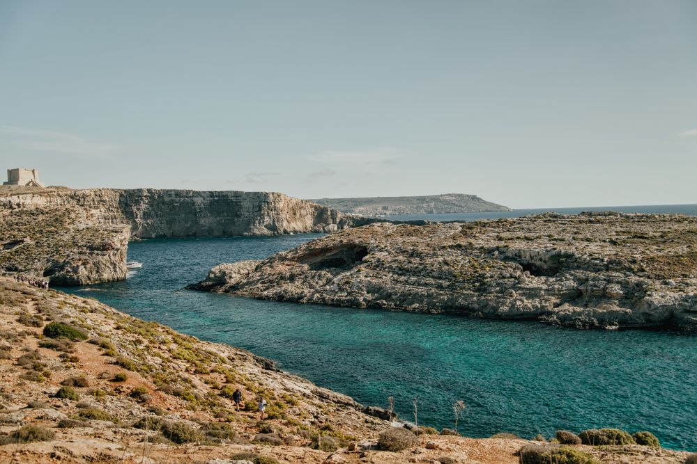
Round the island along the south cliffs, then back to the Blue Lagoon for a swim.
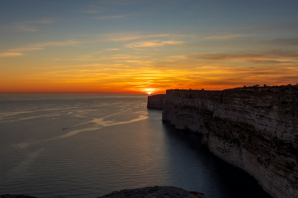
Gozo's tallest sea cliffs, walked from Sannat down to a swimming inlet.
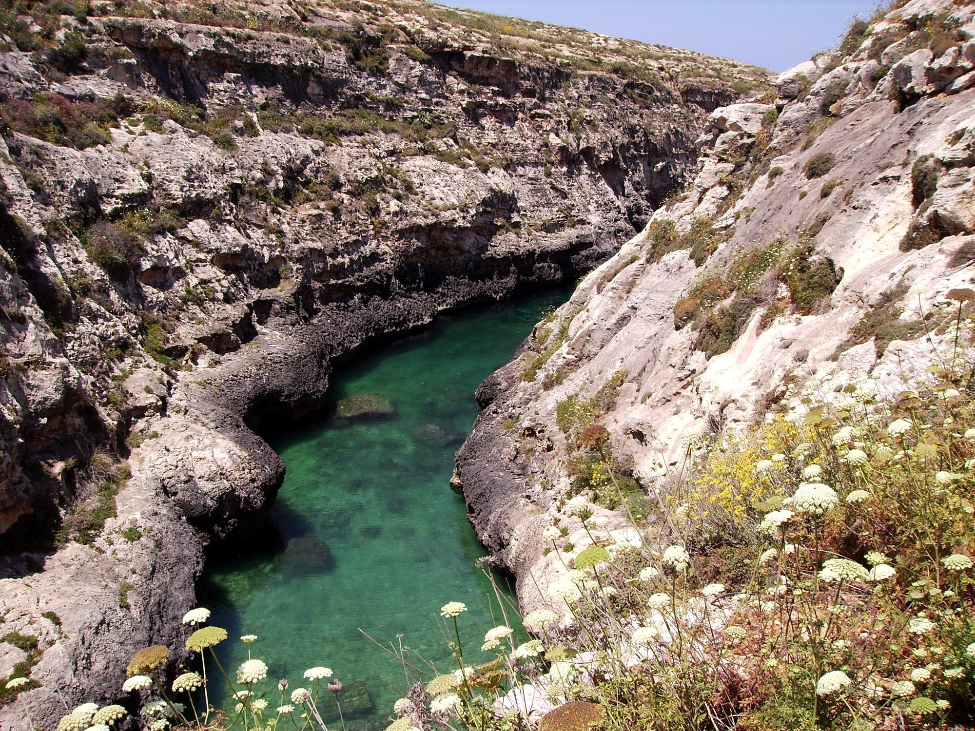
Gozo's north shore from Marsalforn, across the salt pans to a narrow sea gorge and its pebble cove.



Save Xlendi to Dwejra Walk to your Malta trip in the Meridian Dispatch app and build the day around it, with the best of Xlendi pinned on one map.
Download on the App StoreThe official pages this guide was checked against.
Last updated