Things to do
10-
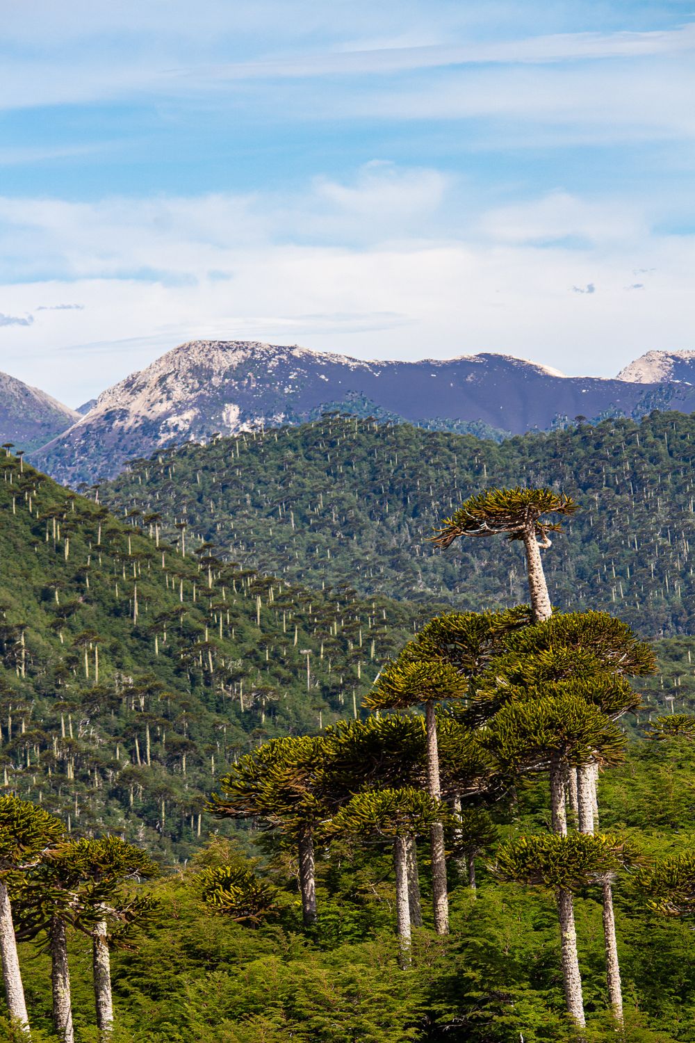
Parque nacional Conguillío
Llaima's lava flows run through araucaria forest and three lakes here, with monkey puzzle trees more than a thousand years old standing over black scoria. The Sierra Nevada trail climbs to a snowline viewpoint in about five hours return from Playa Linda, and CONAF closes the internal road between the Curacautín and Melipeuco gates in winter.
-
Corralco
Pick a weekday away from the resort's own peak days in July, carry chains in the car, and check the lift status before you drive up: after a storm, only the lower lifts may be running.
-
Hotel Termas de Manzanar
A thermal hotel on the Cautín river at Manzanar, drawing water hot enough to need tempering before it reaches the indoor pools and the private tubs. It sits fifteen kilometres east of Curacautín on the paved road, keeps a 1940s timber frame, and takes day visitors to the baths alongside guests.
-
Laguna Captrén
A shallow lagoon in the north of Conguillío where a lava flow dammed the drainage and drowned a stand of araucarias, leaving bleached trunks upright in the water. A CONAF post and campground sit at the gate, and the last stretch of road in is loose volcanic gravel.
-
Parque nacional Tolhuaca
About six and a half thousand hectares of araucaria and coigüe around Laguna Malleco north of the town, with a short trail to the Salto Malleco and a longer climb toward the Lagunas Verdes. Access is an unsealed road from Curacautín that takes over an hour, and the park shuts to vehicles after heavy rain.
-
Reserva Nacional Malalcahuello
More than thirty thousand hectares of araucaria and lenga on the flanks of Lonquimay, cut by the crater of Navidad that opened on Christmas Day 1988 and burned for over a year. Trails start at the CONAF post in Malalcahuello village, and the higher tracks are passable only in summer.
-
Salto de la Princesa
A fall of about fifty metres beside the same road near Manzanar, reached by a stepped path from a car park set at the top of the drop. The story attached to it concerns a Mapuche woman who jumped to escape capture, the site stays open year round, and the flow doubles after rain.
-
Salto del Indio
A fall on Ruta 181 east of the town, dropping into a basalt bowl with a short boardwalk through a private reserve of coigüe and araucaria. The name comes from a story of a Mapuche man sheltering behind the curtain of water from Spanish patrols, and the gate is signed from the road.
-
Volcán Llaima
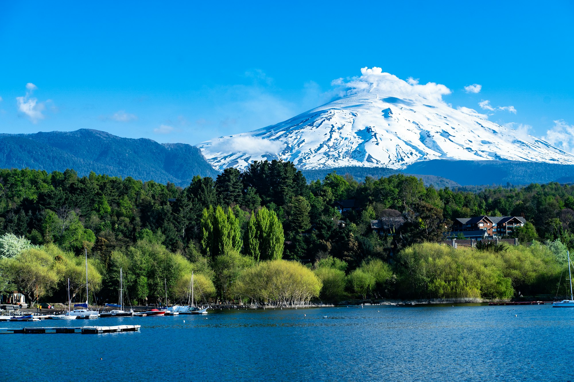
One of the most active volcanoes in South America at 3,125 metres, last in major eruption through 2008 and still venting from the summit crater. Ascents go from the ski centre on the western flank with a guide and a CONAF registration, and old flows have buried the forest floor for kilometres around.
-
Volcán Lonquimay
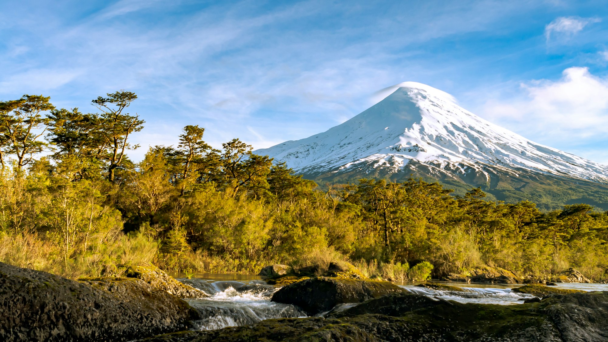
A near perfect cone of 2,865 metres above the reserve, climbed on skis through winter and on foot from Corralco once the snow softens. The ascent runs six to eight hours return with a guide, and the Navidad cone on its northeastern flank is a much shorter walk from the road.