Globe Countries Cities Itineraries World's Best Hotels Events Login
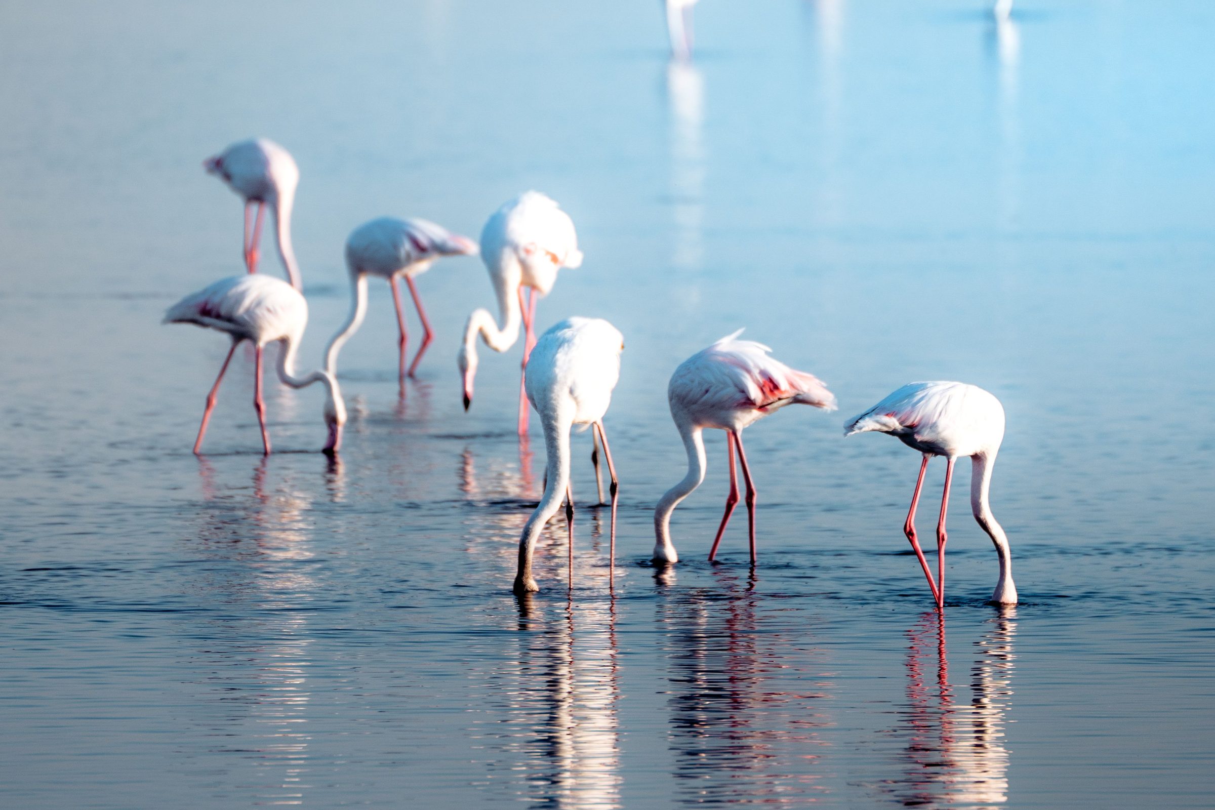
Greater flamingos wading and feeding in the still, shallow water of the Walvis Bay lagoon
Flamingos on the lagoon · they feed here in every month of the year
Town brief · 22.9494°S 14.5069°E

Walvis Bay

Sleep in Walvis Bay rather than Swakopmund: the seal and kayak trips start from its own waterfront, and the flamingos feed a short walk from your room.

View on globe

Why you should go

Ninety seconds on Walvis Bay

How long
One or two nightsone for the boats, one for Sandwich Harbour
Getting around
A car, then a guided 4x4Pelican Point and Sandwich Harbour are reached over tidal sand
When
Any month, mornings firstflamingos peak November to April
Language
English and AfrikaansOshiwambo and German are heard too
Money
Namibian dollarpegged to the rand, which is taken as well
Airports
Walvis Bay WVB15km east of town; Windhoek WDH for long haul
How long

How many days do you need in Walvis Bay?

One or two nights. One night covers a boat or kayak trip to the seals at Pelican Point and an evening on the lagoon promenade. A second night makes room for Sandwich Harbour, a half or full day by 4x4. Many itineraries sleep in Swakopmund and drive down for the morning instead.

Getting around

Do you need a 4x4 in Walvis Bay?

Not for the town. An ordinary car reaches the lagoon, the salt works and Dune 7. Pelican Point and Sandwich Harbour are reached over sand that the tide covers, so the usual way is a guided 4x4 trip or a boat from the waterfront. Self-driving to Sandwich Harbour needs a park permit bought in advance from an environment ministry office, and experience of soft sand.

When

When is the best time to visit Walvis Bay?

Any month works. Fog covers the coast on many mornings and usually lifts by mid morning, and a south-westerly wind tends to rise after lunch, which is why the boat trips run early. Flamingo numbers peak from November to April. Humpback and southern right whales are seen from the boats from about July to November.

Language

What language is spoken in Walvis Bay?

English is the official language and is used on the tours and in the guesthouses. Afrikaans is the everyday language of the coast, and Oshiwambo and German are also widely heard.

Money

What currency is used in Walvis Bay?

The Namibian dollar, pegged one to one with the South African rand, and rand notes are accepted alongside it. Shops, restaurants and tour operators take cards, and the town has banks and cash machines.

Airports

Which airport do you fly into for Walvis Bay?

Walvis Bay, WVB, about 15 kilometres east of the centre, with direct flights from Johannesburg and Cape Town. Long-haul arrivals land at Windhoek, WDH, which is about 400 kilometres inland by tar road.

Most visitors meet Walvis Bay on a morning trip down from Swakopmund. Stay the night instead and you can walk to the first boat or kayak trip, which leaves early to beat the afternoon wind. Seals climb on to the boats, and pelicans land on the rails for fish.

The lagoon starts where the town's streets end. Walk the promenade along the Esplanade on a falling tide, when the flamingos feed closest to the shore. Then try the shallow pools of the Bird Sanctuary on the eastern edge of town, which hold birds whatever the tide is doing.

Sandwich Harbour, south of town, is the long day out: tall dunes run straight down into the Atlantic. The trips run along the beach at low water, and the late afternoon departures have the best light and fill first. Go guided unless you have driven soft sand against a tide before.

Sleep near the lagoon or the waterfront, a walk from the boats and the birds. Pelican Point Lodge is the only place to stay out on the spit, beside the lighthouse and the seal colony. Swakopmund is 30 to 40 minutes north on the B2, close enough for dinner there and the drive back.

Bring a warm layer for the boat in any month, because the cold sea keeps the coast cool and often grey. With a spare hour, climb Dune 7 beside the C14 near the airport, early or late in the day when the sand is cool.

Things to do

9
  1. Sandwich Harbour

    Sandwich Harbour

    Landmark · 4 hr

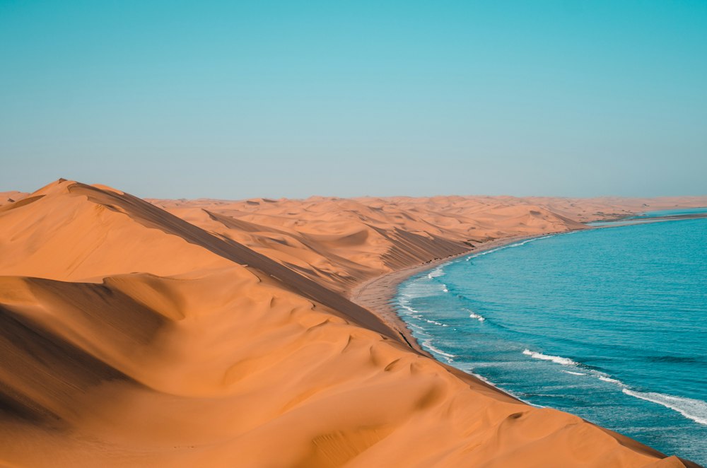
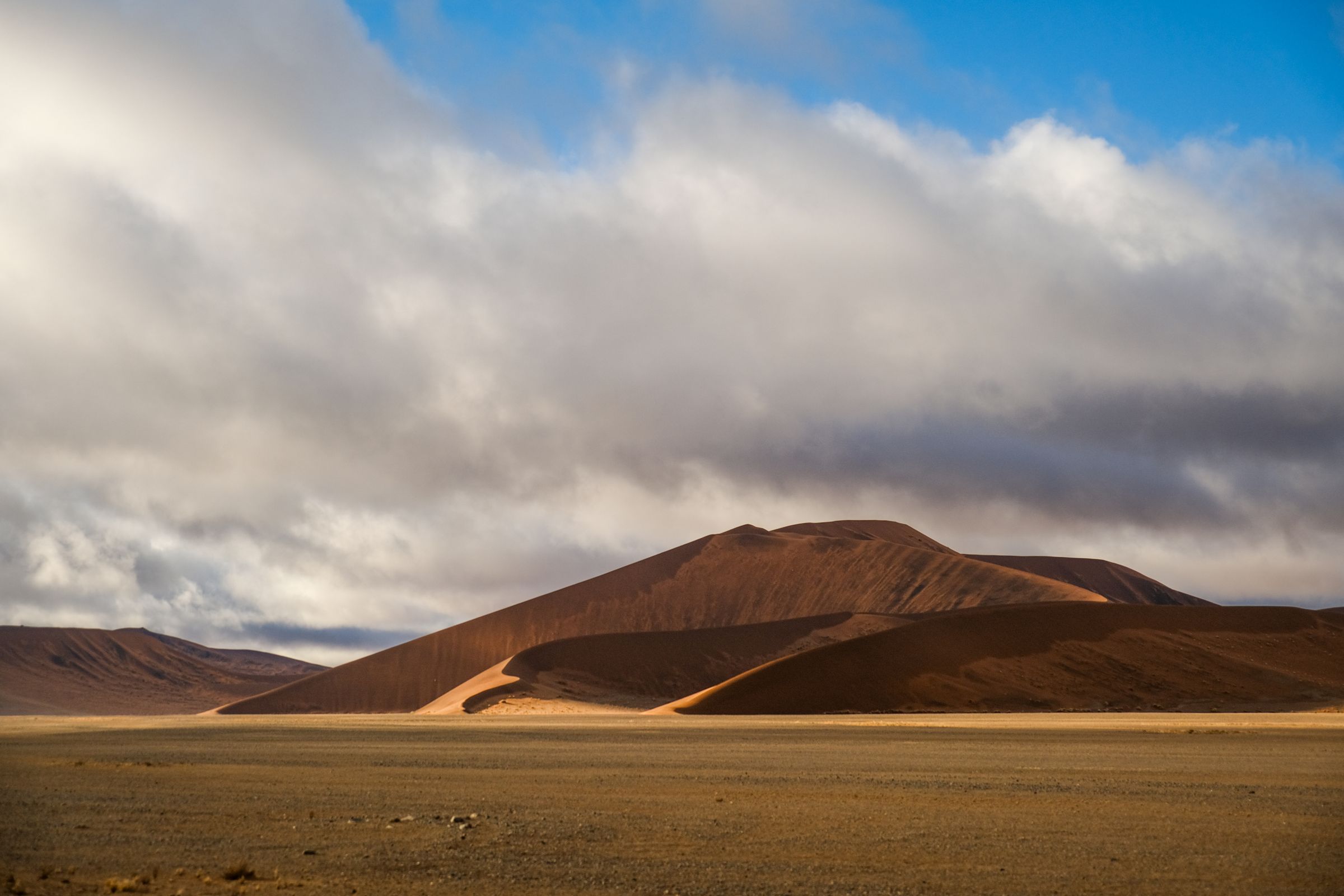
    Sandwich Harbour's dunes drop straight into the Atlantic, and from a crest high above the surf you can see the desert end and the ocean begin. A guided 4x4 gets you there and back from Walvis Bay in half a day.

    View more →
  2. Bird Island

    Landmark

    A large wooden platform stands about 400 metres offshore, some eight kilometres north of town, built for seabirds to roost on so their guano could be collected. Cormorants pack it from edge to edge. It shows from a pullout on the B2 to Swakopmund, a ten minute stop that is better with binoculars.

  3. Dune 7

    Landmark · 1 hr

    Beside the C14 east of town, close to the airport, this dune rises steeply enough to be the standard climb for anyone with an hour to spare. Palms and a picnic site half buried in sand sit in its lee, and sandboarding outfits work its slopes. The sand is cooler underfoot in the morning and late in the day.

  4. Pelican Point

    Landmark · 3 hr

    Go out to the tip of the long sand spit that shelters Walvis Bay, where tens of thousands of Cape fur seals crowd the beach below a striped lighthouse. Pick the catamaran for an easy morning, or the kayak to sit among them.

    View more →
  5. Pelican Point Lodge

    Hotel

    The lodge fills the renovated harbour control building beside the lighthouse at the tip of the spit, with nine suites facing the surf or the lagoon. Guests are driven out along the beach from Walvis Bay by the lodge. Apart from the lighthouse there is no other building on the spit, and the seal colony lies directly below the decks.

  6. Rhenish Mission Church

    Church

    The oldest building standing in Walvis Bay is this small church, prefabricated in Hamburg and put up in 1880, on 5th Road a few streets from the lagoon. It stopped being a mission church in the 1960s, so ask locally before counting on a look inside. Pair it with the walk along the lagoon promenade.

  7. Walvis Bay Bird Sanctuary

    Lake · 30 min

    From June to August, most of the flamingos in this part of Africa feed on the Walvis Bay lagoon, close to the town esplanade. Start there on foot, then drive out to the sanctuary pools on the C14 for pelicans and small waders.

    View more →
  8. Walvis Bay Lagoon

    Waterfront · 1.5 hr

    Shallow water and tidal mudflats behind the town hold one of southern Africa's most important wader sites, protected under the Ramsar convention. Greater and lesser flamingos feed here in tens of thousands, pelicans among them. A promenade runs the landward edge, and the birds are closest on a falling tide.

  9. Walvis Bay Salt Works

    Landmark · 1 hr

    Seawater is drawn through a chain of evaporation pans south of the lagoon, and the pans turn pink where the algae concentrate. Flamingos and other waders feed on them in large numbers. The gravel road to Paaltjies and Sandwich Harbour runs past the pans, so most visits are a stop on the way south, and the colour is strongest in the afternoon light.
Basemap Meridian · data © OpenStreetMap
Explore

More of Namibia

Namibia
Country

Namibia

Every Namibia town, place and dispatch, on one map.

Swakopmund
Town

Swakopmund

German colonial streets run down to a cold Atlantic here, and the town has served as Namibia's holiday coast since the railway reached it.

Welwitschia Drive
Other · Swakopmund

Welwitschia Drive

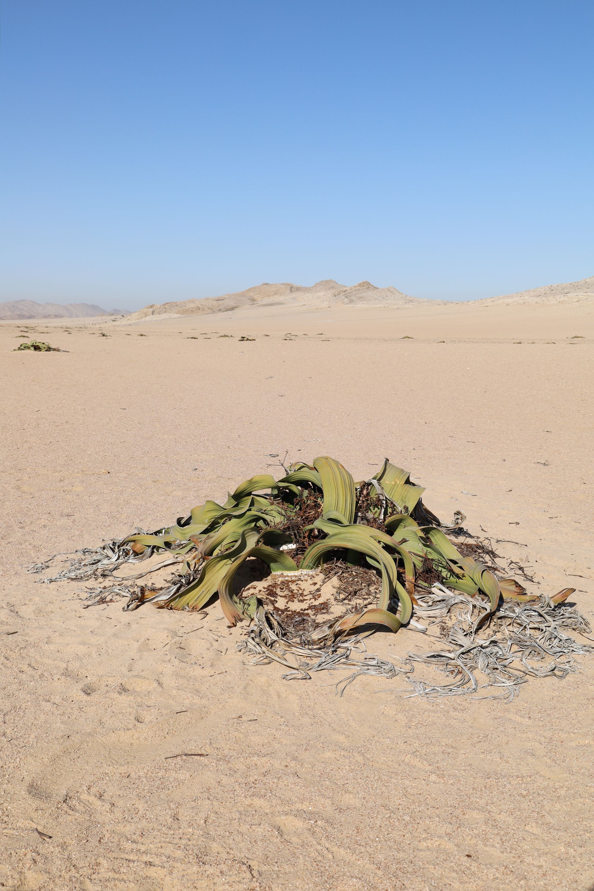
Follow a marked gravel route east of Swakopmund across lichen plains and the Moon Landscape.

Spitzkoppe
Town

Spitzkoppe

Swakopmund Jetty
Landmark · Swakopmund

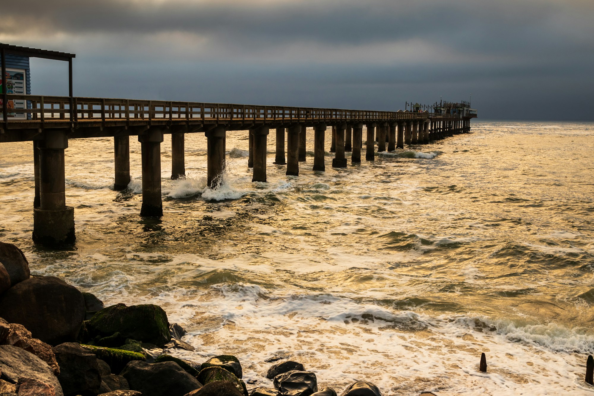
Swakopmund Jetty

Sources 1

The official pages this guide was checked against.

Last updated