Globe Countries Cities Itineraries World's Best Hotels Events Login
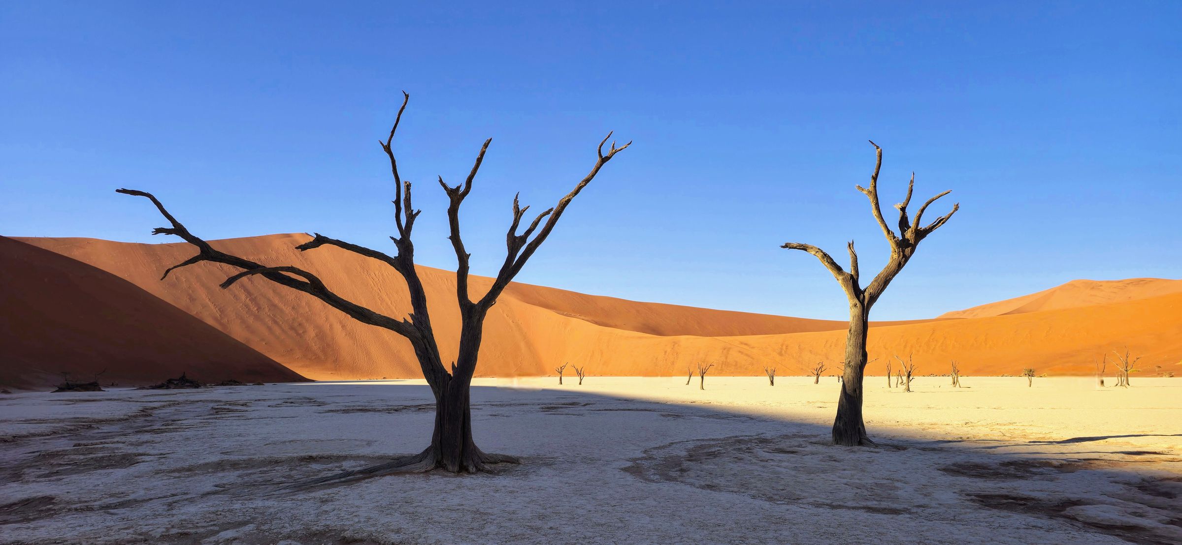
Two dead camel thorn trees on the white clay pan of Deadvlei, with red dunes and a clear blue sky behind
Deadvlei, about 60 kilometres west of the gate
Town brief · 24.4871°S 15.7985°E

Sesriem

Sleep inside the park gate and you are driving to the dunes an hour before sunrise, while the queue is still forming outside: book one of those beds months ahead and you walk Deadvlei in the first light.

View on globe

Why you should go

Ninety seconds on Sesriem

How long
Two nightsan afternoon to arrive, then a full dawn in the dunes
Getting around
Your own car, or a lodge tourno public transport into the park
When
May to Septembercool mornings; summer heat ends climbing by mid morning
Language
EnglishAfrikaans is widely spoken in the south
Money
Namibian dollarpegged to the rand, which is accepted too
Airports
Windhoek WDHfive to six hours by road; Walvis Bay WVB is similar
How long

How many days do you need in Sesriem?

Two nights. The arrival afternoon covers Sesriem Canyon or a sunset on Elim Dune. The next day starts at the gate before dawn for Deadvlei, Big Daddy and Dune 45, and the dune walking is over by late morning, when the heat sets in. A third night allows a second sunrise in the dunes.

Getting around

Do you need a car in Sesriem?

Yes, or a place on a tour. There is no public transport into the park, and the dunes lie sixty kilometres beyond the gate on a tar road. Travellers without a car join the guided trips run from the lodges. Past the 2x4 car park, the last stretch to Deadvlei and Sossusvlei is deep sand that only 4x4 vehicles may enter, and a shuttle runs from the car park.

When

When is the best time to visit Sesriem?

May to September, the dry winter, when mornings are cool and nights can drop close to freezing in July and August. From November to March the heat ends any dune climb by mid morning. In wet years the Tsauchab River can flood Sossusvlei and close the road. The gates open and close with the sun, so their times shift through the year.

Language

What language is spoken in Sesriem?

English, the official language of Namibia, is used at every lodge, camp and park office. Afrikaans is widely spoken across the south of the country, and German-language tours and guides are easy to find.

Money

What currency does Sesriem use?

The Namibian dollar, which is pegged one to one to the South African rand; the rand is accepted as well. Park permits are bought at the Sesriem office, charged per person and per vehicle. The fuel station at the gate is the place to fill up before the long gravel roads out.

Airports

Which airport do you fly into for Sesriem?

Windhoek's Hosea Kutako International, WDH, five to six hours by road, most of it gravel after Rehoboth. Walvis Bay, WVB, on the coast, is a similar drive by way of Solitaire. Many self-drive routes fly into one and out of the other.

Plan the day around the light. If you sleep inside the park, leave when the inner gate opens, an hour before sunrise, and drive straight to the 2x4 car park; from outside, be at the outer gate before sunrise. Walk Deadvlei while the sun is still low behind the dunes, climb Big Daddy if you are fit, and stop at Dune 45 on the drive back.

By eleven the sand is too hot for climbing and the light has gone flat, so go back for lunch and some shade. Sesriem Canyon and Elim Dune, both close to the gate, fill the last two hours of daylight.

Book your bed before anything else. Four places sit inside the outer gate: Sesriem Camp, Sossus Dune Lodge, Dead Valley Lodge and the Oshana campsite, and all of them book out months ahead for the dry season. Lodges outside the gate are often more comfortable, but their guests wait for the outer gate to open at sunrise.

Buy your park permit at the Sesriem office on the afternoon you arrive, so you are not queueing in the dark. The last five kilometres from the 2x4 car park is deep sand, open only to 4x4s. Unless you have driven deep sand before, leave even a 4x4 at the car park and take the shuttle: hire cars get stuck there every day.

Fill the tank at Sesriem. The gravel roads in from Windhoek and Walvis Bay have long stretches with no fuel, and toward the coast the next pump is at Solitaire, an hour north. Carry more water than you expect to drink, and a warm layer for winter dawns.

Things to do

11
  1. Deadvlei

    Deadvlei

    Landmark · 3 hr

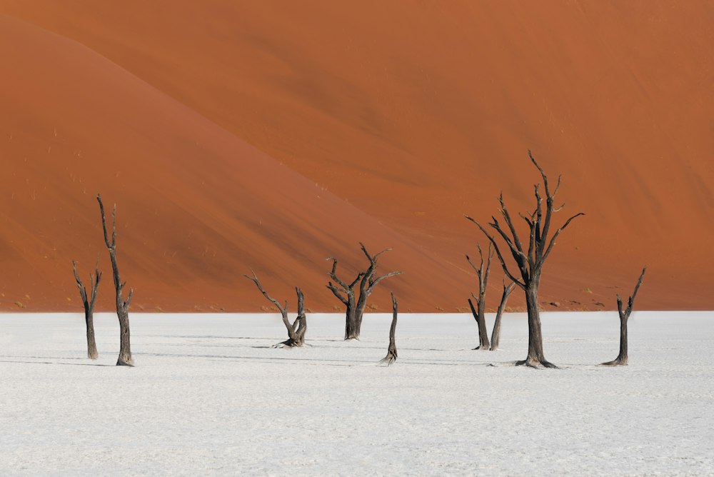
    Come for the dead camel thorn trees standing dark on a white clay floor below orange dunes, best seen in low light, when they throw long shadows across the pan.

    View more →
  2. Namib Sand Sea

    Namib Sand Sea

    Landmark · 4 hr

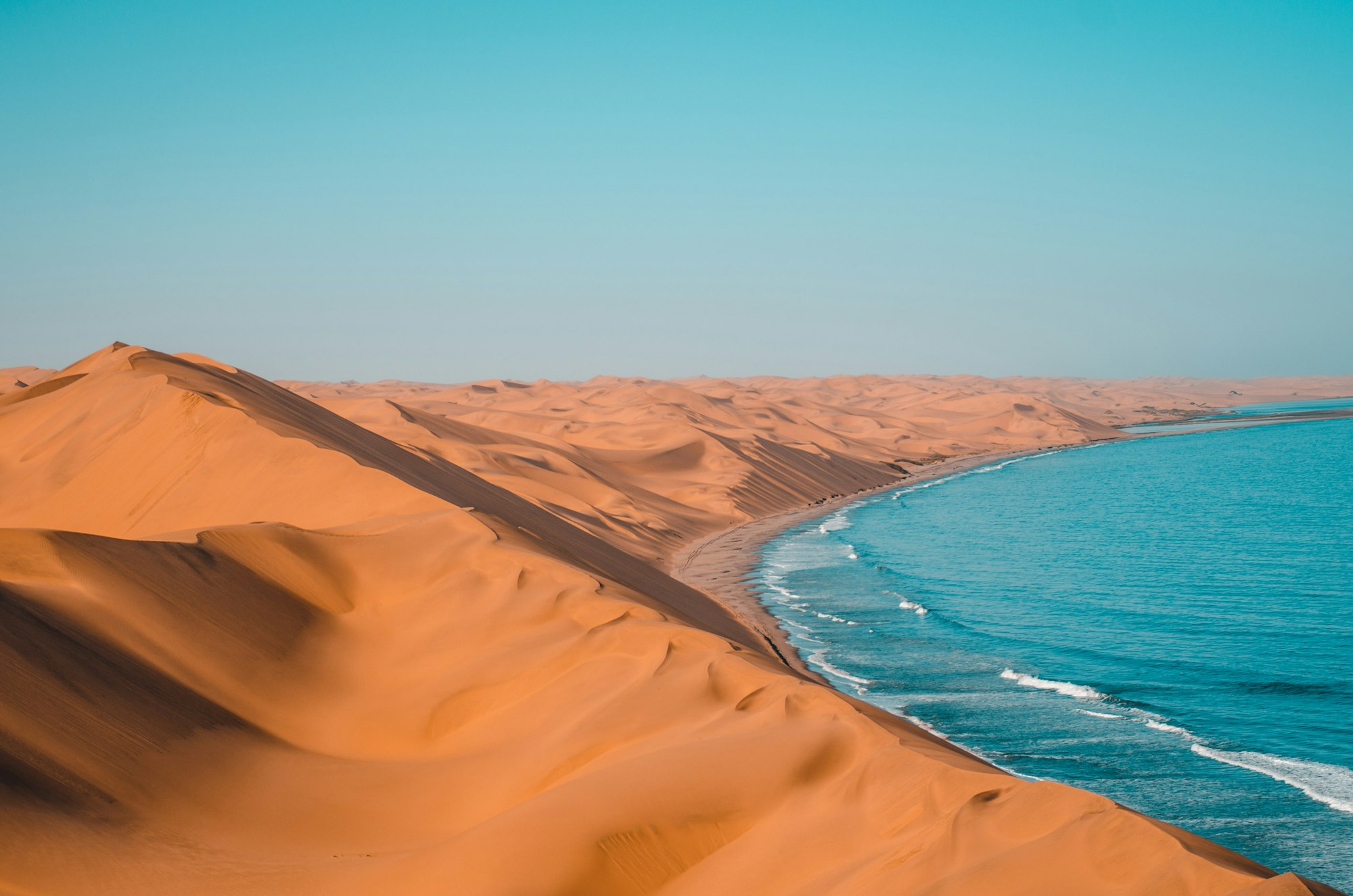
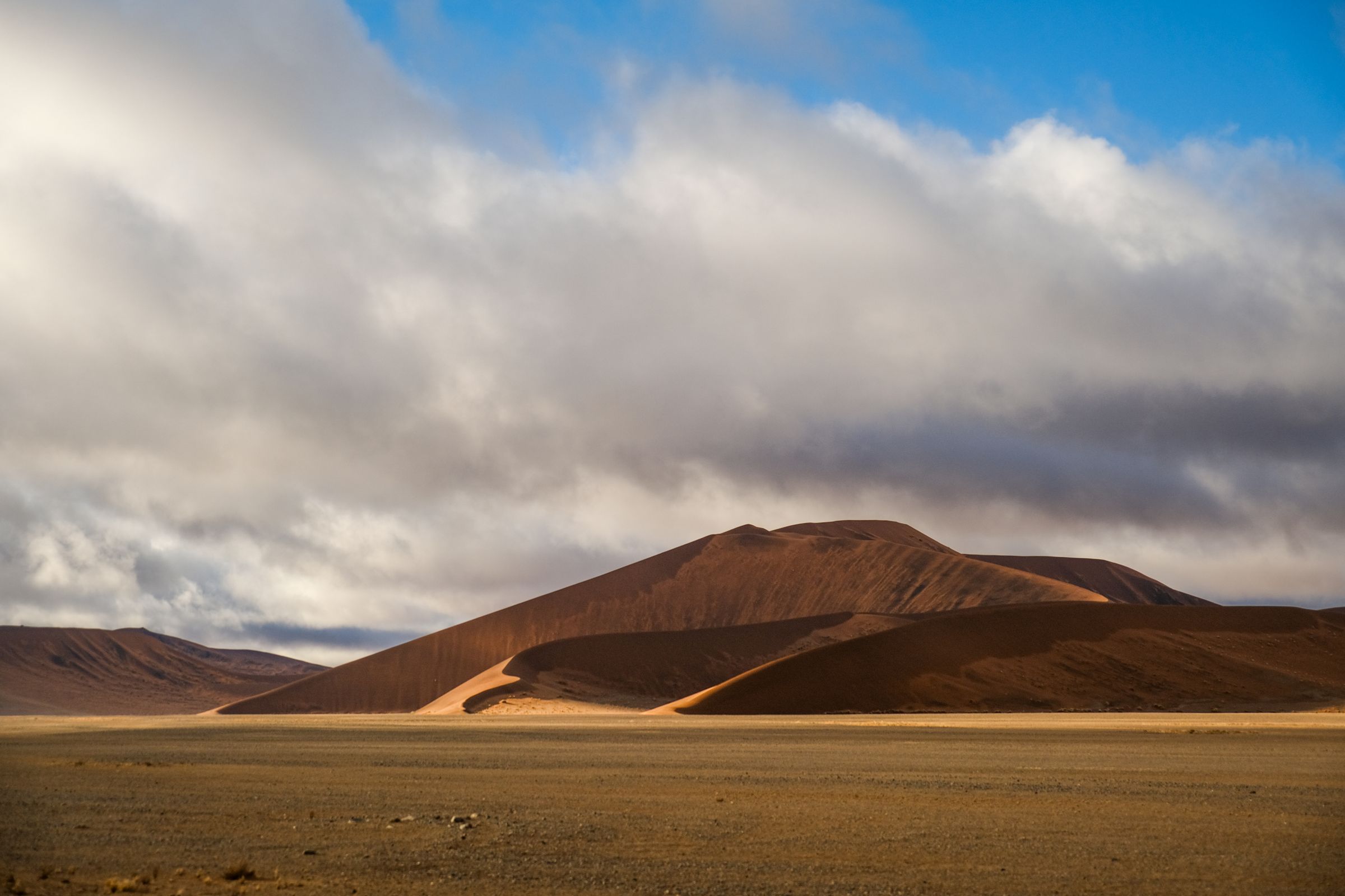
    UNESCO inscribed this dune field in 2013 under all four natural criteria, making it Namibia's second World Heritage site after Twyfelfontein. Fog off the Atlantic, far more than rain, supplies the water that its beetles, geckos and lichens live on. The sand itself arrived by river and ocean current from the Orange, far to the south.

  3. Sossusvlei

    Sossusvlei

    Landmark · 4 hr

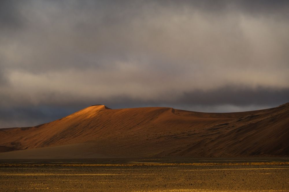
    Sossusvlei is a pale clay pan where the dunes stop the Tsauchab River, and you climb those dunes straight from its floor. Big Daddy, the biggest, is a long haul through soft sand, and its crest shows you Deadvlei and the whole dune sea.

    View more →
  4. Dead Valley Lodge

    Hotel

    Opened in 2019, this lodge of twenty air-conditioned tented chalets stands inside the park on the road between the gate and Elim Dune, facing the dunes and the mountains. Its guests pass the inner gate an hour before sunrise and may stay in the park an hour after sunset.

  5. Dune 45

    Landmark · 1.5 hr

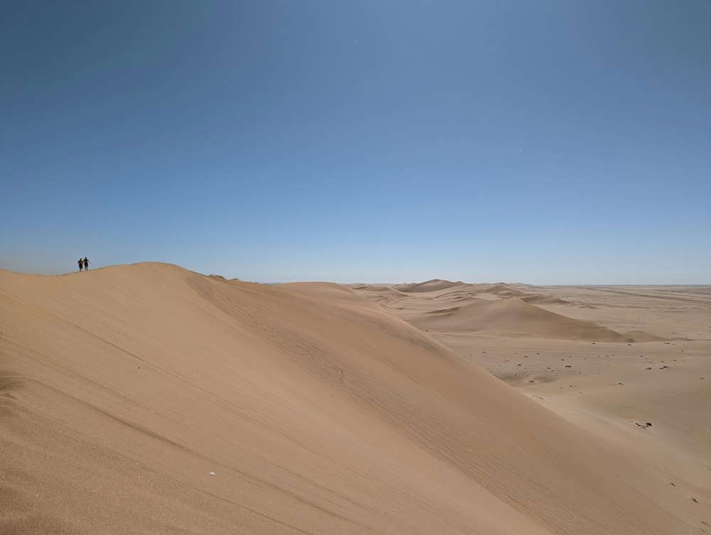
    Forty five kilometres along the road from the gate, which is where the name comes from, a star dune stands right beside the tar road, close enough to climb while the early light lasts. The ridge underfoot is soft and the crest opens the first clear view across the dune field. Most vehicles stop here on the way in.

  6. Elim Dune

    Viewpoint · 2 hr

    Reached on a track from the campsite rather than the main road, this dune stands clear of the rest of the field and lies before the inner gate, so it is the easiest sunset climb for guests staying inside the park. The climb is short and steep, and the view from the crest runs east to the Naukluft escarpment.

  7. Hiddenvlei

    Landmark · 3 hr

    A second dead pan lies off the route the shuttles run, holding camel thorns of its own and a good deal less traffic. The walk in follows a line of marker posts across open sand with no shade. Go before eleven, when the heat and the haze set in.

  8. Little Kulala

    Hotel

    South-west of the gate, on a private reserve, each thatched villa at this camp has a rooftop platform for sleeping out under the stars. The reserve has its own entrance into the national park, so the morning drive avoids the queue at the Sesriem gate.

  9. Sesriem Camp

    Hotel

    Namibia Wildlife Resorts runs this campsite of 44 pitches just inside the outer gate, each beside a camel thorn tree, with a pool, a small shop and a bar. Campers pass the inner gate an hour before sunrise, which is the simplest way to reach Deadvlei or Dune 45 in first light. The trees give some shade at midday, not much.

  10. Sesriem Canyon

    Canyon · 1 hr

    One easy walk is all you need for this narrow gorge, cut by the Tsauchab River into layered rock a few minutes from the Sesriem gate. You can fit it in before or after the dunes, on the same day.

    View more →
  11. Sossus Dune Lodge

    Hotel

    Namibia Wildlife Resorts runs this timber and thatch lodge along a low ridge inside the park gate. Being inside counts for more than the rooms do: guests pass the inner gate about an hour before the outer one opens, which is the difference between reaching Deadvlei in first light and reaching it afterwards.
Basemap Meridian · data © OpenStreetMap
Explore

More of Namibia

Namibia
Country

Namibia

Every Namibia town, place and dispatch, on one map.

Solitaire
Town

Solitaire

Sandwich Harbour
Landmark · Walvis Bay

Sandwich Harbour

Walvis Bay
Town

Walvis Bay

Namibia's deep water port works at one end of this town and a Ramsar wetland at the other.

Welwitschia Drive
Other · Swakopmund

Welwitschia Drive

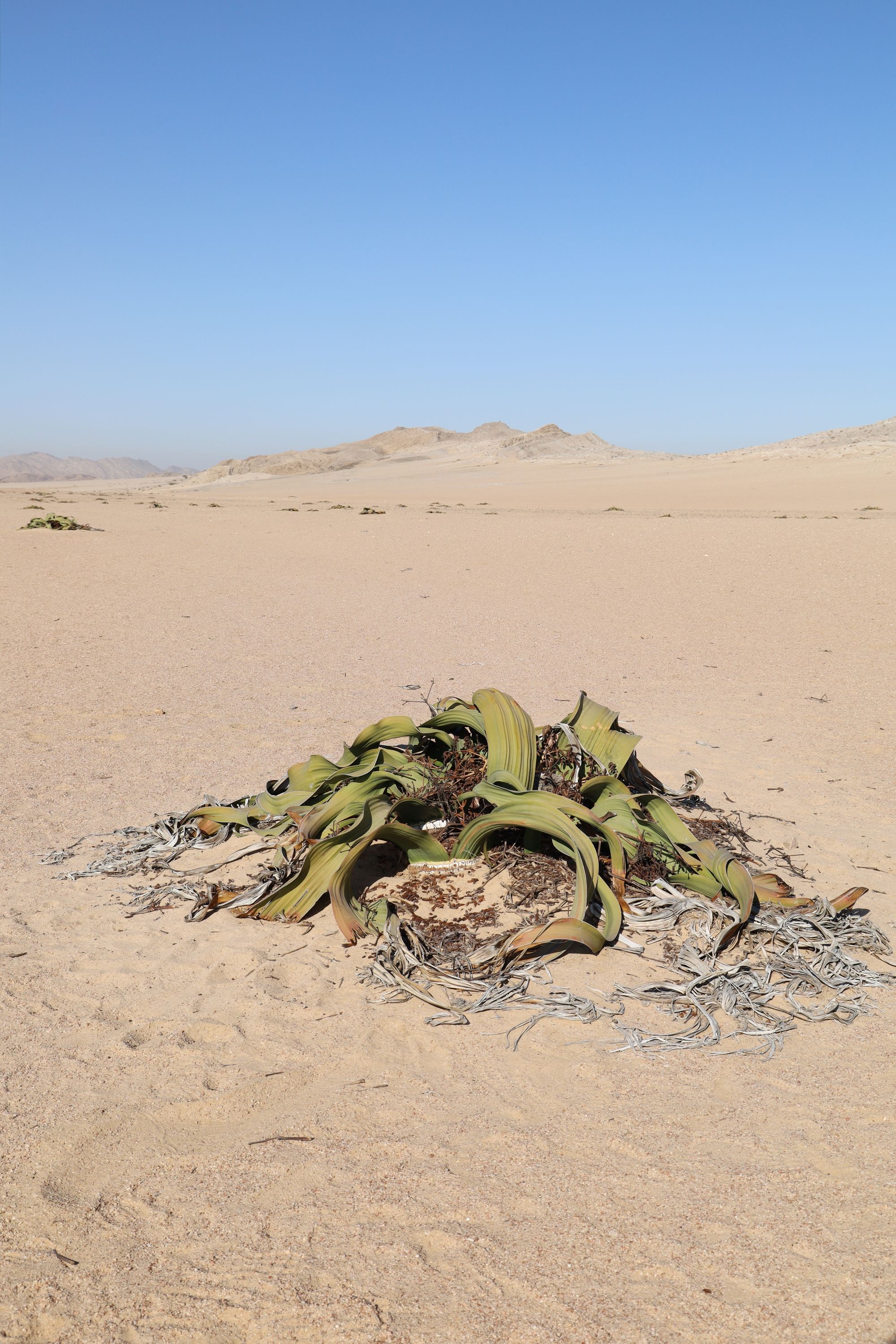
Follow a marked gravel route east of Swakopmund across lichen plains and the Moon Landscape.

Sources 2

The official pages this guide was checked against.

Last updated