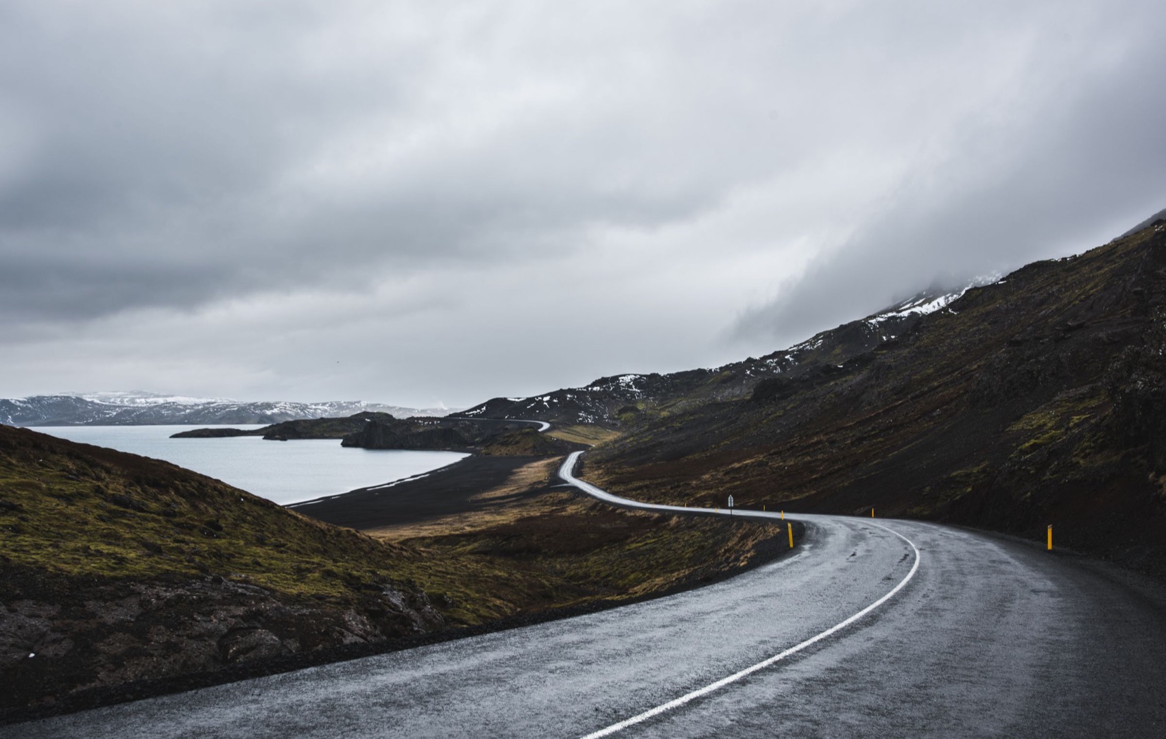
An Icelandic road under low cloud, the kind of driving that fills most days of this route
Route 1 circles the whole island. This route leaves it for the Golden Circle, a boat among the icebergs at Jökulsárlón, Dettifoss and the whale boats of Húsavík, with a different hotel waiting at the end of most legs.
Yes, at a pace that leaves time to walk at every stop, with ten nights and the flight home on the eleventh morning. In seven days every day becomes a drive; if you have more than ten, spend them in the East Fjords or at Mývatn.
Route 1 alone is about 1,320 km. With the Golden Circle, Húsavík and the detours on this route, the total comes to about 2,000 km.
Most days are two to four and a half hours at the wheel, and the drive from Akureyri back to Reykjavík is the longest, at nearly six. Allow extra for wind, roadworks and slow camper vans on the narrow stretches.
Keflavík International, on the Reykjanes peninsula about 50 km from Reykjavík. Collect the car there, so the first stop can be the Blue Lagoon on the way into town.
June to August. In June it barely gets dark, and by late August the nights return with the first chance of northern lights. Outside summer, wind and snow can close Route 1 in the north and east for a day or more.
No. Rental contracts keep two-wheel drives off the F-roads, and this route uses none. What matters more is insurance that covers gravel chips on the windscreen.
Do not try to drive the Ring Road in a week. Give it ten days and you can stop at everything worth stopping for along Route 1, and still reach the hotel in time for a hot tub most evenings.
Go anticlockwise. The south coast comes first, with its waterfalls, black beaches and glacier lagoons, while you are fresh enough for the busiest roads of the trip. The long, empty stretches through the East Fjords and across the northern plateau come later, once you have learned to judge the wind and the distances.
1,996 km and about 32 hours at the wheel over 10 days, starting and ending at Keflavík.
| Day | The drive | Distance | At the wheel |
|---|---|---|---|
| 1 | Keflavík to Reykjavík | 75 km | 1 h 26 |
| 2 | Reykjavík to Hella | 233 km | 3 h 43 |
| 3 | Hella to Vík | 125 km | 2 h 14 |
| 4 | Vík to Höfn | 270 km | 3 h 56 |
| 5 | Höfn and back | 152 km | 2 h 22 |
| 6 | Höfn to Egilsstaðir | 278 km | 4 h 30 |
| 7 | Egilsstaðir to Mývatn | 242 km | 4 h 02 |
| 8 | Mývatn and back | 152 km | 2 h 39 |
| 9 | Mývatn to Akureyri | 83 km | 1 h 23 |
| 10 | Akureyri to Reykjavík | 386 km | 5 h 46 |
Fly into Keflavík, pick the car up there
The Blue Lagoon on the way in, the hill church and Laugavegur
Þingvellir, Geysir, Gullfoss and Kerið
Seljalandsfoss, Skógafoss, Dyrhólaey and Reynisfjara
Skaftafell, the glacier lagoons and the Hoffell hot tubs
Stokksnes, Hvalnes and the East Fjords
Dettifoss, Hverir, Krafla, Húsavík and the lake
Goðafoss, the Forest Lagoon and the old town
The long drive south, Grábrók and Borgarnes
On the old harbour beside Harpa, so the walk up to Hallgrímskirkja and along Laugavegur starts at the door. Harbour-side rooms look across the bay to Esja, and the rooftop bar has the same view for the first evening.
A timber lodge on its own beside the Ytri-Rangá river outside Hella, a few minutes off Route 1. There are hot tubs outside and an observatory. In late summer, ask for a call if the northern lights come out.
Right beside Route 1 at the eastern edge of Vík, so tomorrow's drive starts at the door, and Reynisfjara is ten minutes back west. Its restaurant, Drangar, is named for the sea stacks off the beach.
A plain, comfortable hotel at the top of the town. Park once and walk: the harbour restaurants and the pool are a few minutes away, and some rooms look across the water to the outlet glaciers of Vatnajökull.
A family-run farmhouse hotel on the bank of Lagarfljót, with old rooms in the original house and newer ones in a wing. Its spa has a hot tub, a cold plunge and a sauna looking over the lake, and the kitchen cooks with produce from the farms around it.
On a rise at the north end of the lake, close to Reykjahlíð, with long windows over the water and the lava. Two nights here put Dettifoss, Krafla and Húsavík all within an hour.
In the middle of Akureyri at the foot of the church steps, so the evening needs no car. Rooms at the front look straight down the fjord.
An old hotel on Austurvöllur square, by the parliament building, with a spa of hot tubs and steam rooms for the end of the drive. The centre is all on foot from here. Keflavík is about 50 minutes away for the flight home.
Pick up the car at Keflavík and drive twenty minutes south to the Blue Lagoon before you go anywhere near Reykjavík. Book an entry time a couple of hours after you land, and soak off the flight in the warm, milky water.
The lagoon sits among the lava fields of the recent Reykjanes eruptions, and it has shut for days at a time while they were going on. Check its status the week you fly; if it is closed, drive straight into town.
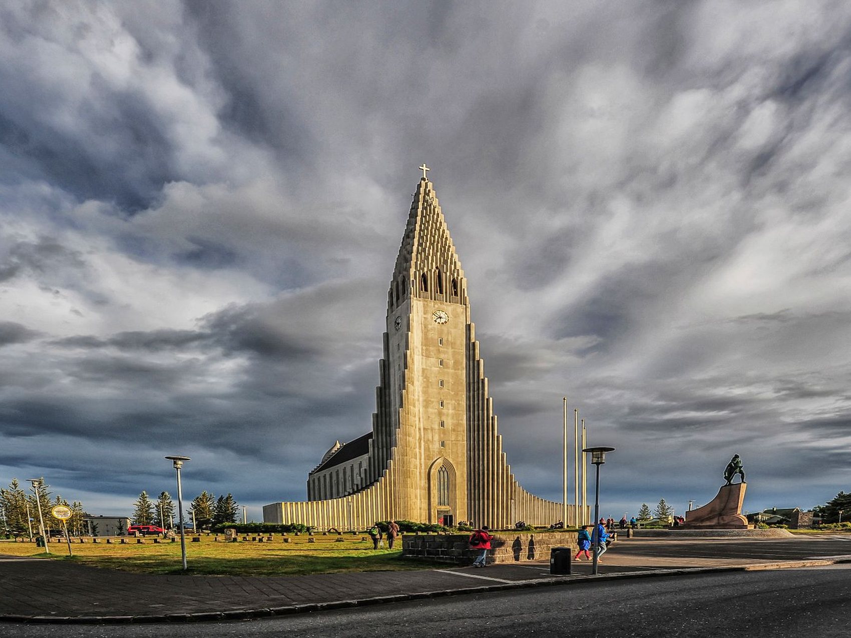
Reykjavík is under an hour from the lagoon. Leave the car at the hotel and walk up Skólavörðustígur to Hallgrímskirkja, where the last lift up the tower goes at a quarter to eight in summer, then come back down through the shops and bars of Laugavegur.
Leave Reykjavík by half past eight to reach Þingvellir before most of the tour coaches. Walk down Almannagjá, a rock fissure at the edge of the North American plate, to the open plain where Iceland's first parliament met.
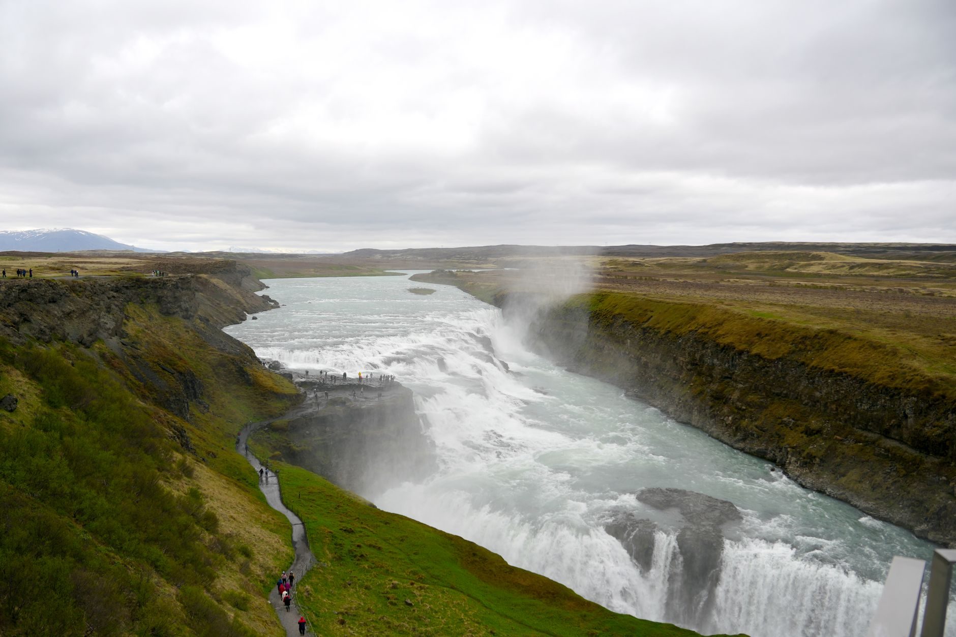
Drive an hour east to Geysir. The big geyser itself has gone quiet, but Strokkur erupts every few minutes beside it, so stand upwind of the spray. Gullfoss is ten minutes further, and a path from the car park runs along the rim to the edge of the upper drop.
On the way south, stop at Kerið, a red crater with a green lake inside that takes half an hour to walk around. Hotel Rangá is about an hour beyond it, outside Hella.
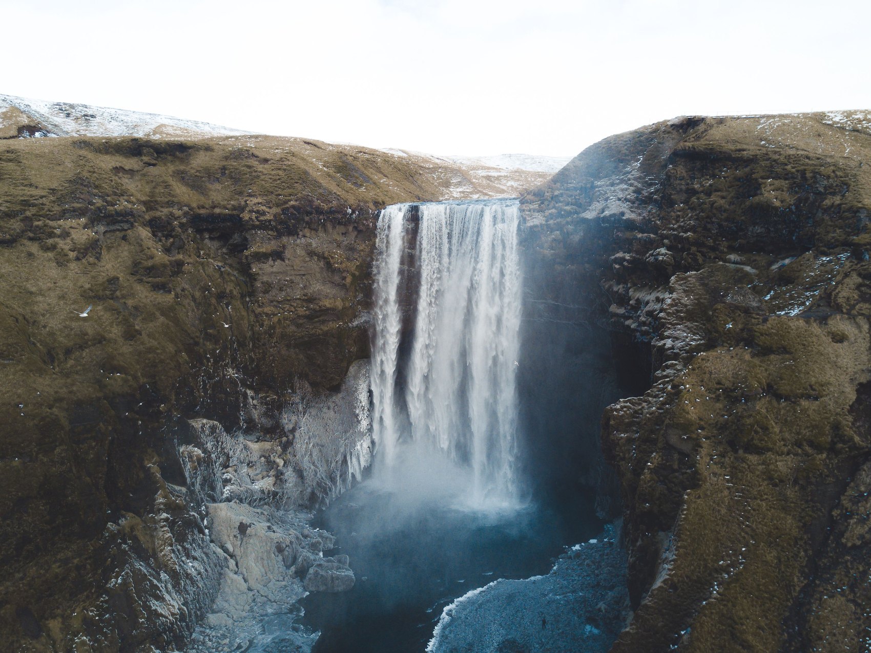
Be at Seljalandsfoss by nine, before its car park fills, and take the path behind the falls in a waterproof. Then walk ten minutes north along the cliff to Gljúfrabúi, a second fall hidden inside a narrow gorge.
Climb the steps beside Skógafoss, half an hour east, to look down on the drop. A few kilometres on, a short path leads to the snout of Sólheimajökull, and you go onto the ice only with a guide.
From Dyrhólaey's upper car park, at the top of a steep gravel road, you look down on the sea arch and along the beaches. From about May to mid-June parts of the headland close for nesting birds and the top shuts overnight; if the upper road is closed, the lower car park still faces the arch.
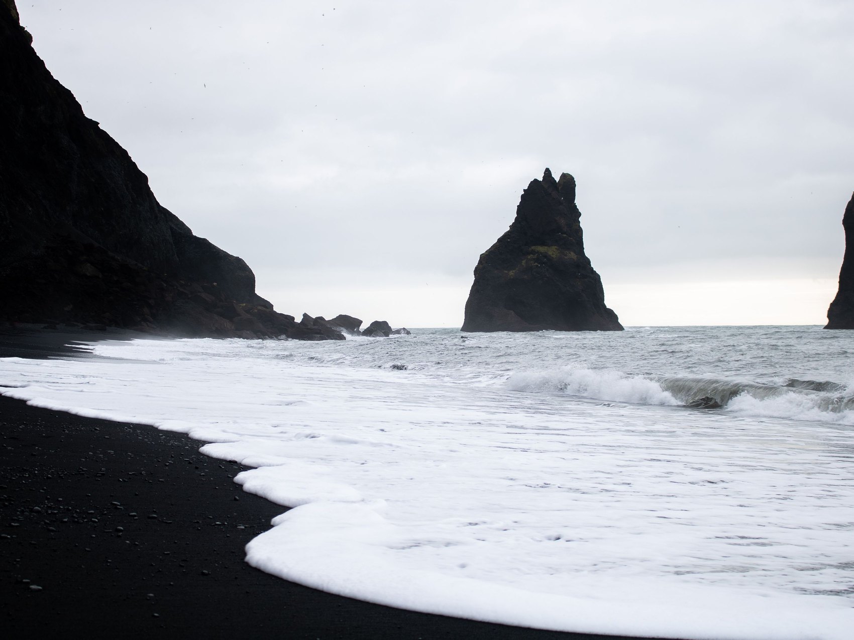
Finish at Reynisfjara, under the basalt columns. Waves here run far up the sand without warning and have killed visitors, so stay well back from the water and do what the warning lights at the entrance say.
Fjaðrárgljúfur, an hour east of Vík, is a deep, mossy canyon with a path along its rim. The viewing platforms over the narrowest part are a short climb from the car park, and the path closes when the ground is soft, usually in spring.
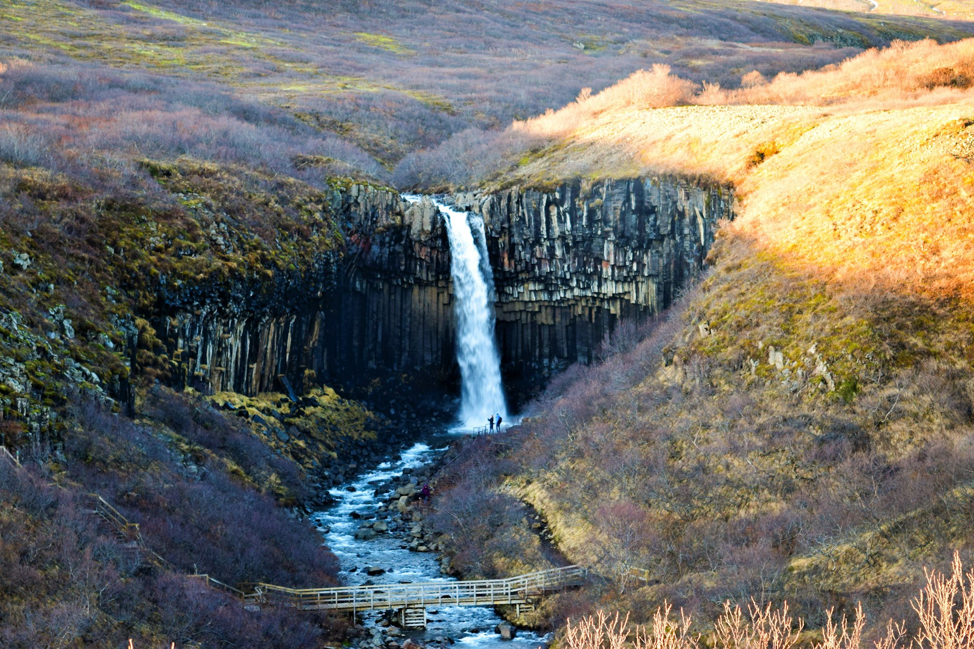
Drive on to Skaftafell, under Vatnajökull. The walk up to Svartifoss, a waterfall hung with black basalt columns, is about 1.5 km each way from the visitor centre and climbs most of the way.
To stand on a glacier instead, swap the waterfall for a guided walk on Falljökull, which starts at Skaftafell and puts the rest of the day an hour later. Either way, stop at Fjallsárlón on the drive east, where the glacier comes straight down into its lagoon, and leave Jökulsárlón for tomorrow's boat.
The last hour of road brings you to Höfn, whose harbour restaurants serve the langoustine its boats land. After this much driving, have dinner booked.
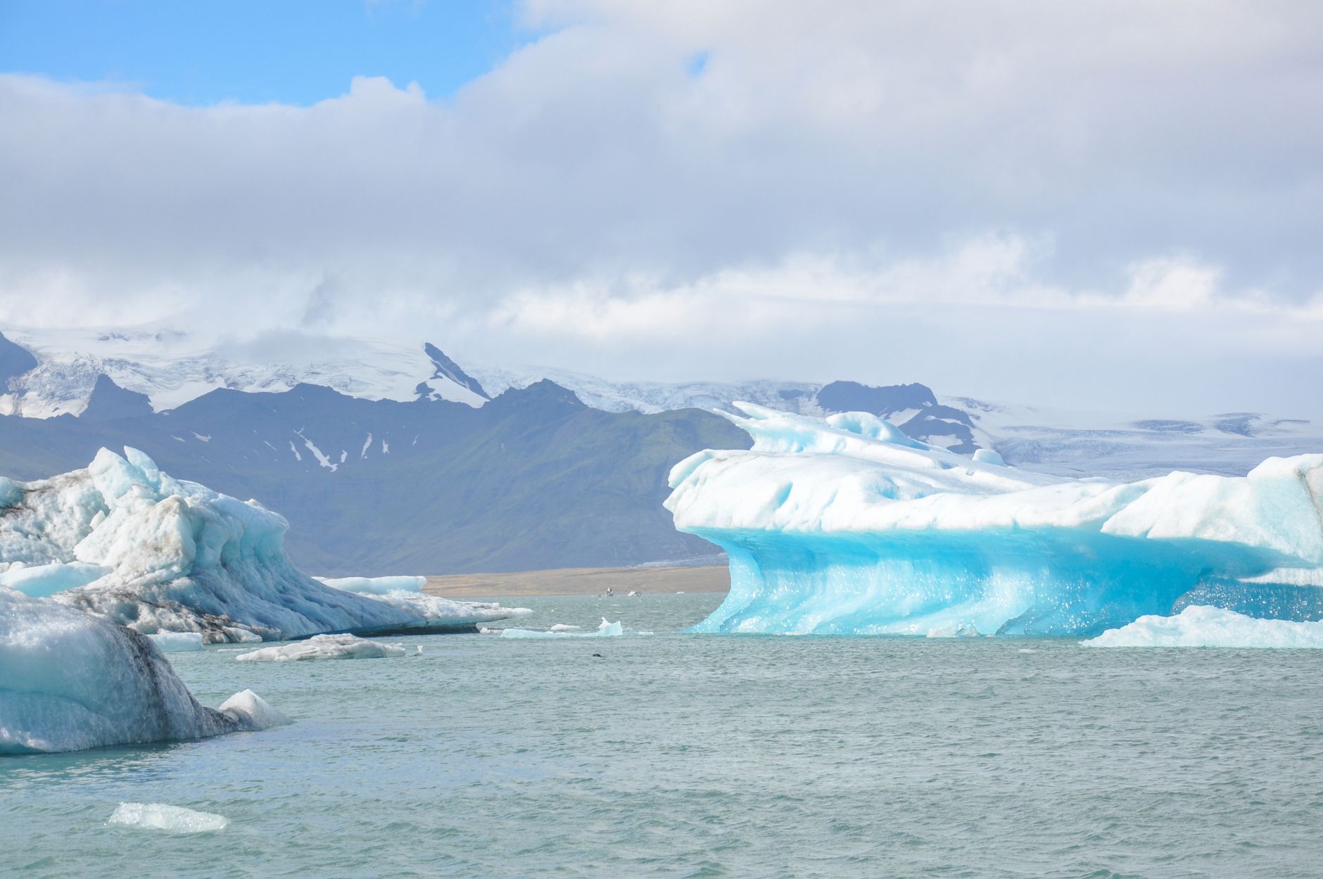
Drive back west to Jökulsárlón, about an hour, and spend the morning on the water. The amphibian boats run roughly May to November; the zodiacs go closer to the glacier face.
Cross the road to Diamond Beach, where ice from the lagoon washes onto the black sand. It is at its best at low tide, when the blocks lie stranded rather than rolling in the surf, so check the tide table and swap the order if low water falls early.
This is the first of two days with no bags to pack, so take the afternoon slowly back east. Soak in the hot tubs at Hoffell, on a farm under the mountains north of Höfn, then walk down to the harbour for dinner.
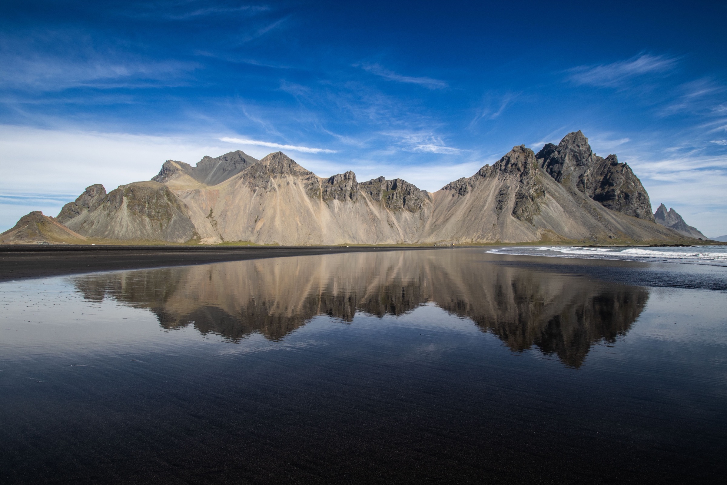
Start at Stokksnes, five minutes off Route 1 just east of Höfn, where Vestrahorn rises straight out of the black dunes. The land is private, so pay the entry at the Viking Café where the track begins.
Hvalnes is an orange lighthouse on a shingle spit under Eystrahorn, with a lagoon behind it. After it, Route 1 turns in and out of every fjord, and on a day of sea fog you will see little but the road.
Have lunch at Djúpivogur, whose harbour is lined with 34 granite eggs, one for each species of bird that nests nearby. Further north, Petra's Stone Collection is a house and garden in Stöðvarfjörður filled with one woman's lifetime of minerals, open in summer.
If the weather is clear and you reach Egilsstaðir early, drive half an hour over the pass to Seyðisfjörður for its rainbow street and blue church. Either way, the evening belongs to Vök Baths, pools that float on a lake just north of town.
Fill the tank before you leave Egilsstaðir. The road west climbs onto the highland plateau, and there is almost nothing on it for the next two hours.
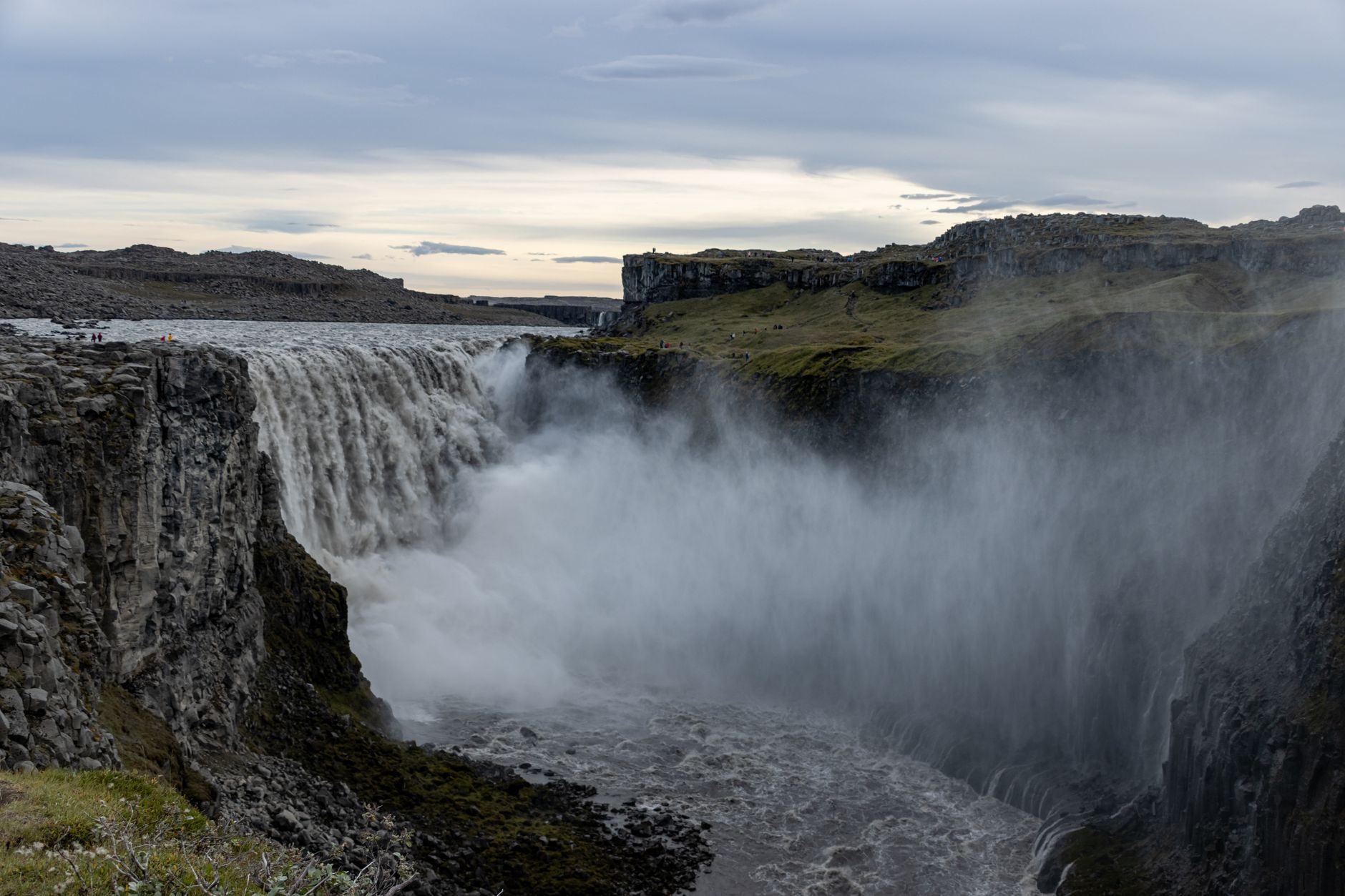
Turn north onto the paved road 862 for Dettifoss on the west bank. In your map app, enter Dettifoss west car park, because plain Dettifoss can route you to the gravel road on the east side. From the car park it is about 1 km to the viewpoint; wear a waterproof, because the spray soaks you near the edge.
Back on Route 1, Hverir is a field of steaming vents and boiling mud just before the pass down to the lake; keep to the marked paths. A quarter of an hour north, Víti is a crater lake beside the Krafla power station.
Earth Lagoon, the lake's geothermal baths, reopened in summer 2026 after rebuilding, a few minutes east of Reykjahlíð. Go in the evening, then drive round the north shore to the hotel.
Drive an hour north to Húsavík for a morning whale-watching trip in Skjálfandi bay. The standard trip lasts about three hours, and humpbacks are the usual sighting in summer.
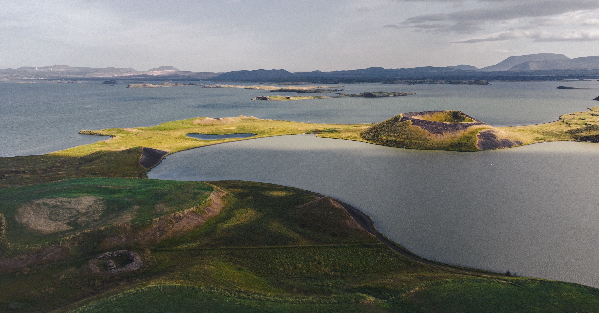
Back at the lake, look into Grjótagjá, a lava cave with a hot pool you can no longer bathe in. Then climb Hverfjall, a wide black crater, for the whole lake laid out below it.
Walk the lava pillars of Dimmuborgir in the late afternoon, then the short loop round the pseudocraters at Skútustaðir, formed where lava ran over wet ground. Mývatn means midge lake, so on a still summer day pack a head net.
Stop at Goðafoss, 45 minutes west of the lake, a wide horseshoe of water with car parks on both banks. Walk both sides, because the east bank takes you down close to the foot of the falls.
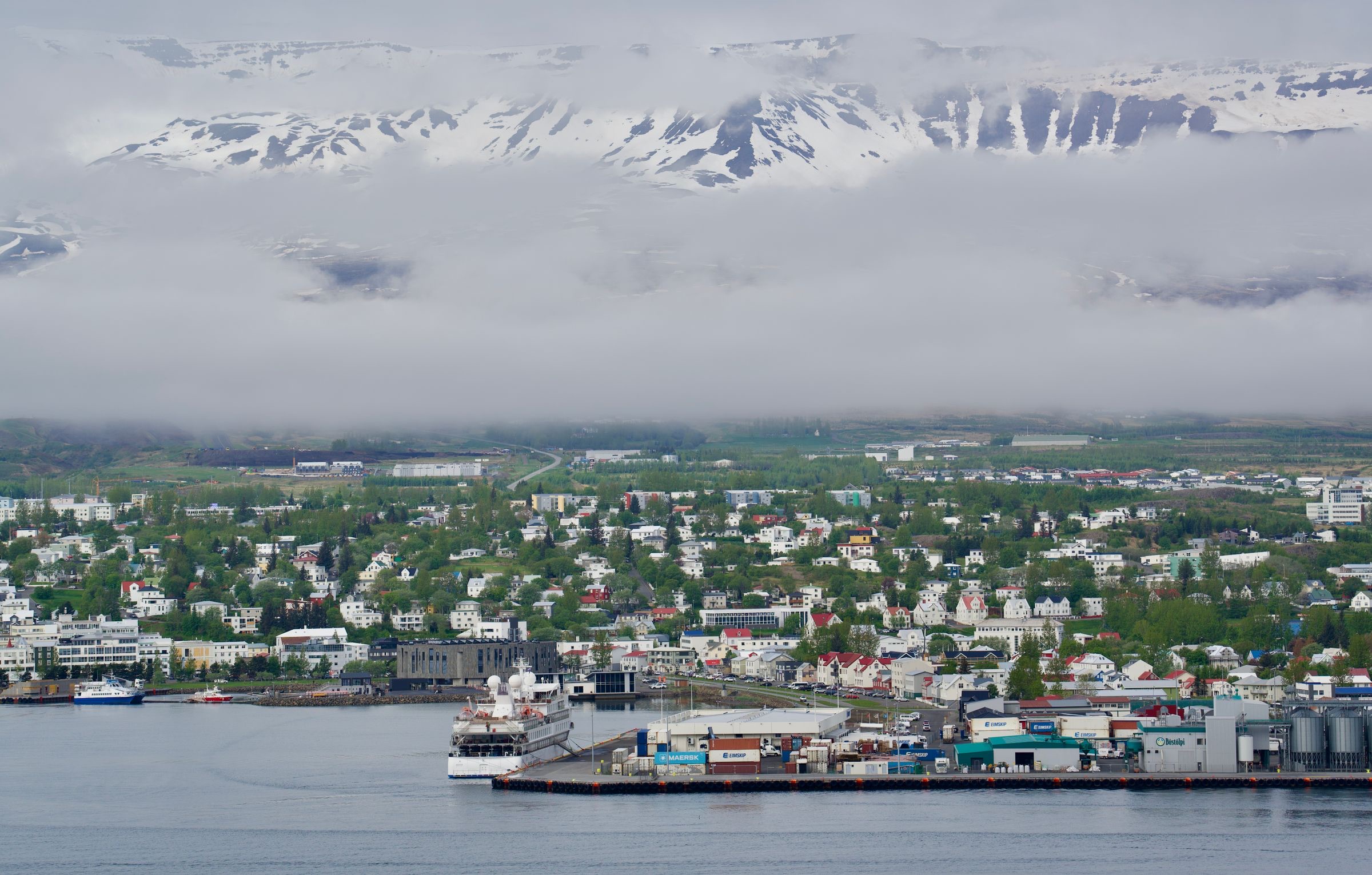
From there, Route 1 runs through the tunnel under Vaðlaheiði into Akureyri, at the head of a long fjord. Spend the afternoon at the Forest Lagoon, a geothermal pool in the woods across the water from town.
The rest of Akureyri is on foot. The botanical garden sits above the centre, the church steps climb from the main street, and the wooden houses of Innbærinn, the old town, run along the shore to the south.
Leave Akureyri by eight for the longest drive of the trip. Route 1 crosses two passes and a run of farm valleys before it comes down to the west coast.
Break it at Grábrók, a crater beside the road north of Borgarnes, where steps and boardwalk climb to the rim in about fifteen minutes. In Borgarnes itself, the Settlement Centre on the waterfront tells the story of the first settlers and the sagas, and its restaurant makes the lunch stop.
The tunnel under Hvalfjörður brings you into Reykjavík by late afternoon. Return to the harbour on foot for the Sun Voyager sculpture and Harpa, and leave about an hour for the drive to Keflavík in the morning.
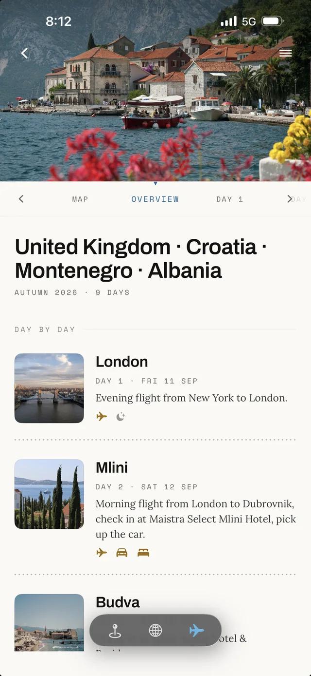
All ten days land in the app's Plan as your own copy, with the bases, the nights and every stop in place, ready to move around.