Things to do
6-
Cardada
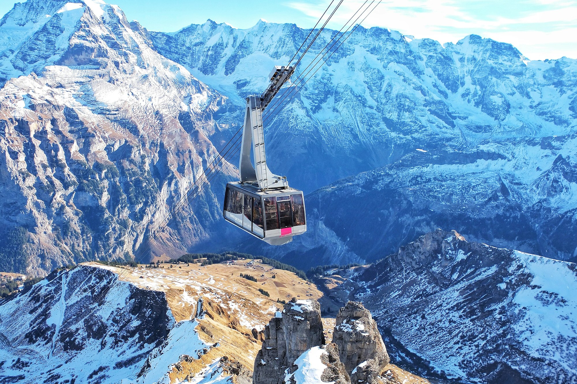
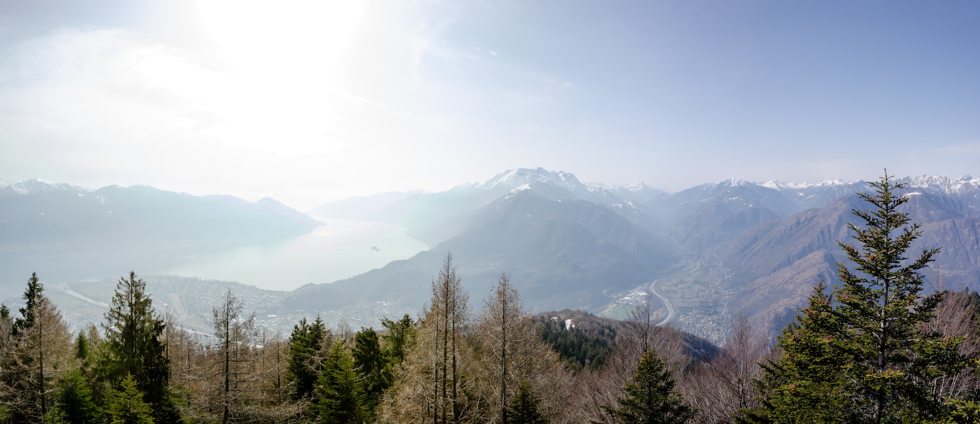
A ridge above the town reached by cable car from Orselina, with a steel walkway by Mario Botta running out over the drop and a chairlift on to Cimetta at 1,672 metres. The height gain from the lake is more than fourteen hundred metres.
-
Castello Visconteo
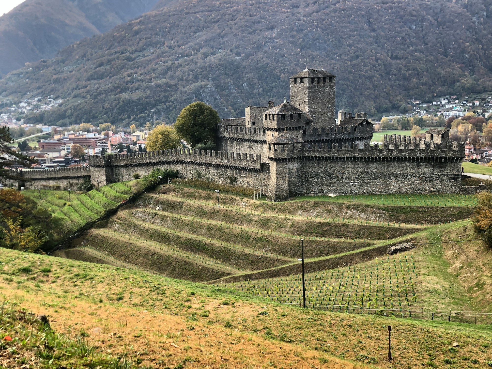
Only part of the castle from which the Visconti of Milan held Locarno still stands: most of its walls came down in 1532. Today the surviving palace houses the civic and archaeological museum, known for its large collection of Roman glass. Allow an hour; it is a short walk from Piazza Grande and makes a good wet-weather stop.
-
Piazza Grande
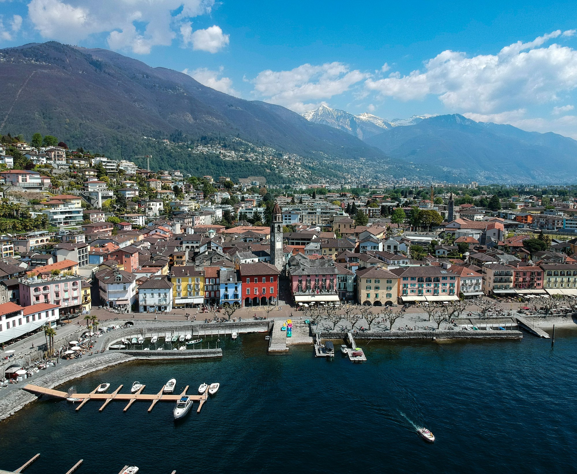
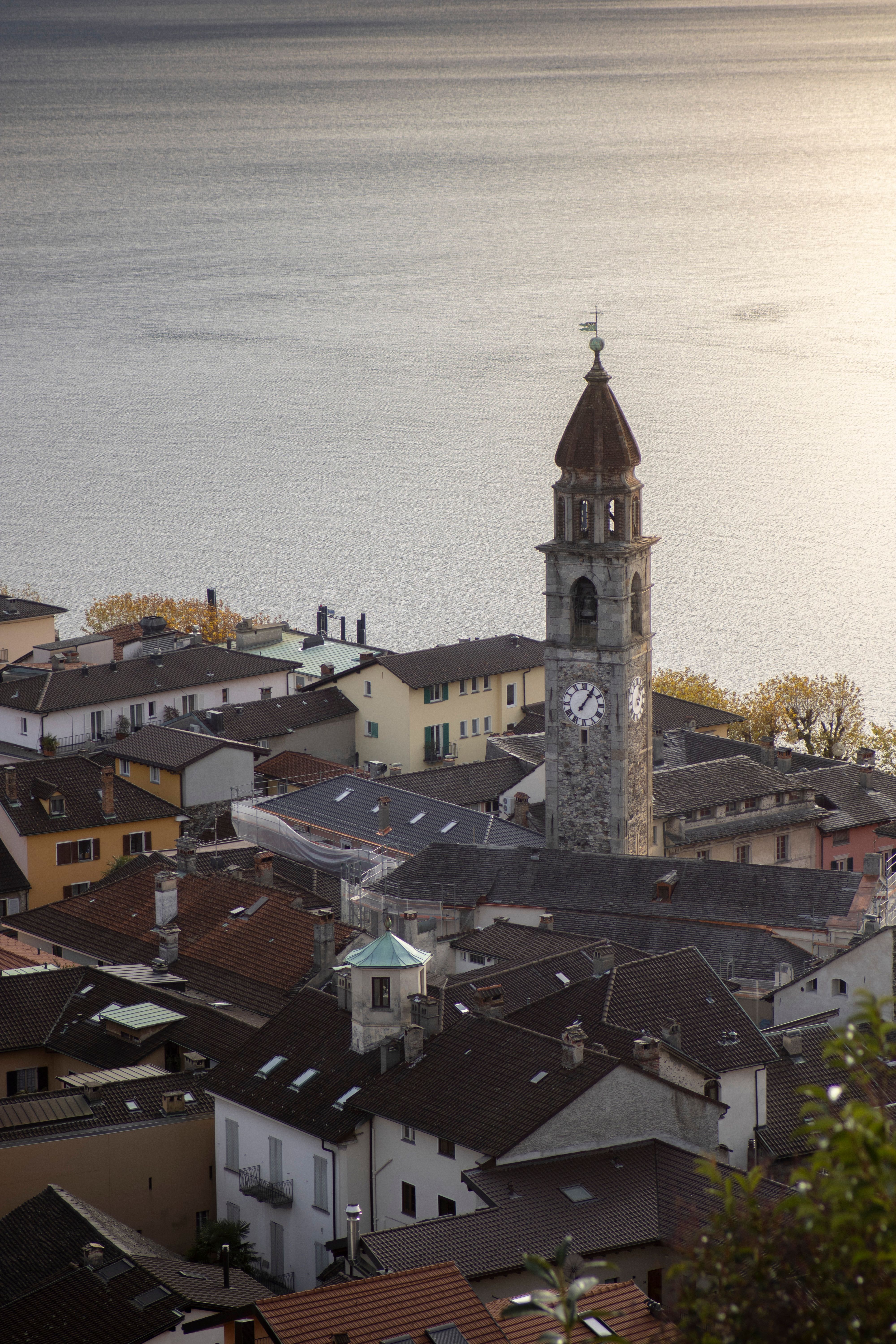
The arcaded square the town is built around, closed on one side and open to the lake on the other, used as a market, a meeting place and for eleven nights in August as the auditorium of the film festival, with eight thousand seats and one very large screen.
-
Ponte dei Salti
A double-arched stone bridge of the seventeenth century at Lavertezzo in the Val Verzasca, over water clear enough to see the bottom at several metres. It is heavily visited in summer and the river is colder and stronger than it looks.
-
Santuario della Madonna del Sasso
A funicular from central Locarno climbs to this pilgrimage church on a rock spur in Orselina, running every fifteen minutes in summer. It was founded after a friar's vision in 1480. Inside hangs a Flight into Egypt by Bramantino, and the terrace looks straight down over Lake Maggiore. Walk back down the stepped path past chapels.
-
Val Bavona
The steepest inhabited valley in the Alps, running north off the Maggia, with twelve stone hamlets that have never had mains electricity and waterfalls off both walls after rain. The road ends at Robiei, where a cable car climbs to the dams.